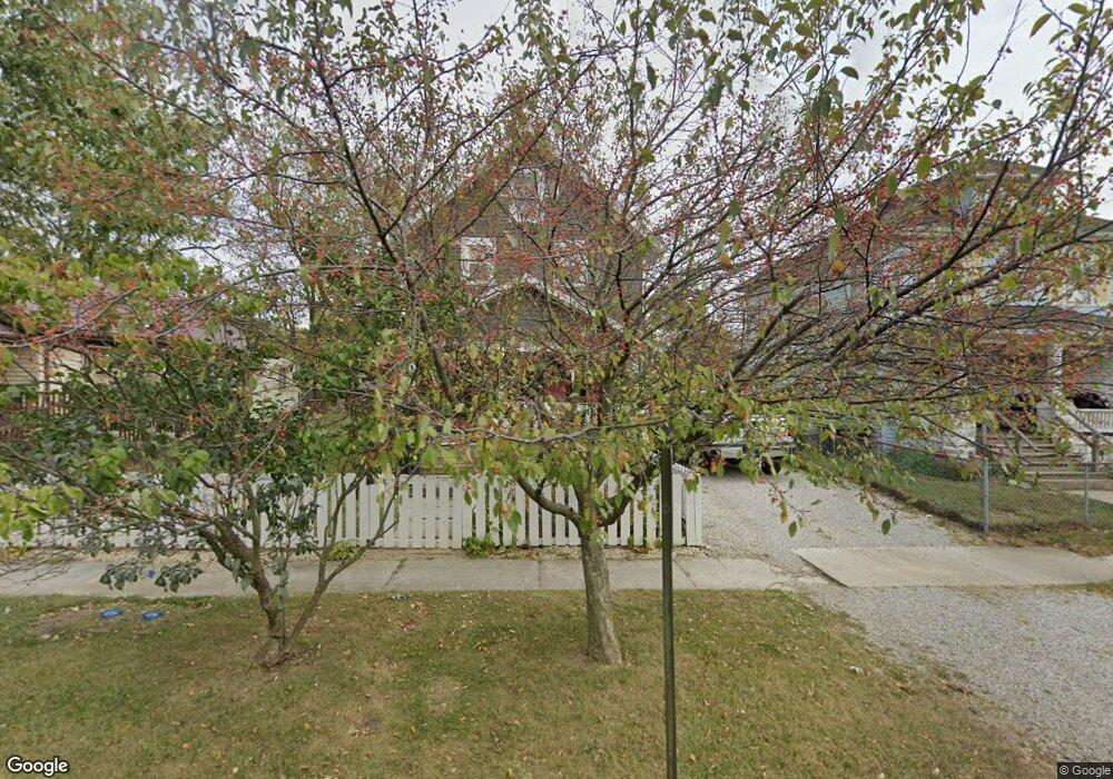
722 N State St Marion, OH 43302
Estimated Value: $76,821 - $118,000
3
Beds
1
Bath
1,088
Sq Ft
$92/Sq Ft
Est. Value
About This Home
This home is located at 722 N State St, Marion, OH 43302 and is currently estimated at $100,205, approximately $92 per square foot. 722 N State St is a home located in Marion County with nearby schools including William H. Taft Elementary School, Ulysses S. Grant Middle School, and Harding High School.
Ownership History
Date
Name
Owned For
Owner Type
Purchase Details
Closed on
Feb 22, 2016
Sold by
Baer Marsha
Bought by
Dye Alan L and Dye Trisha
Current Estimated Value
Purchase Details
Closed on
Jul 24, 2002
Bought by
Dye Alan L and Dye Trisha
Purchase Details
Closed on
Jan 8, 1997
Bought by
Dye Alan L and Dye Trisha
Purchase Details
Closed on
Dec 26, 1996
Bought by
Dye Alan L and Dye Trisha
Purchase Details
Closed on
Jan 12, 1996
Bought by
Dye Alan L and Dye Trisha
Create a Home Valuation Report for This Property
The Home Valuation Report is an in-depth analysis detailing your home's value as well as a comparison with similar homes in the area
Home Values in the Area
Average Home Value in this Area
Purchase History
| Date | Buyer | Sale Price | Title Company |
|---|---|---|---|
| Dye Alan L | -- | Attorney | |
| Dye Alan L | $23,300 | -- | |
| Dye Alan L | $29,000 | -- | |
| Dye Alan L | $28,700 | -- | |
| Dye Alan L | -- | -- |
Source: Public Records
Tax History Compared to Growth
Tax History
| Year | Tax Paid | Tax Assessment Tax Assessment Total Assessment is a certain percentage of the fair market value that is determined by local assessors to be the total taxable value of land and additions on the property. | Land | Improvement |
|---|---|---|---|---|
| 2024 | $549 | $14,290 | $1,670 | $12,620 |
| 2023 | $549 | $14,290 | $1,670 | $12,620 |
| 2022 | $510 | $14,290 | $1,670 | $12,620 |
| 2021 | $465 | $11,720 | $1,450 | $10,270 |
| 2020 | $466 | $11,720 | $1,450 | $10,270 |
| 2019 | $586 | $11,720 | $1,450 | $10,270 |
| 2018 | $468 | $12,120 | $1,440 | $10,680 |
| 2017 | $568 | $12,120 | $1,440 | $10,680 |
| 2016 | $484 | $12,120 | $1,440 | $10,680 |
| 2015 | $484 | $11,850 | $1,370 | $10,480 |
| 2014 | $691 | $11,850 | $1,370 | $10,480 |
| 2012 | $463 | $11,260 | $1,560 | $9,700 |
Source: Public Records
Map
Nearby Homes
- 736 N Main St
- 197 Harrison St
- 149 Fairview St
- 197 Wallace St
- 593 N State St
- 552 N Prospect St
- 524 N State St
- 291 Patten St
- 1015 N Main St
- 749 Richmond Ave
- 455 Park St
- 592 N Greenwood St
- 434 N State St
- 935 Richmond Ave
- 551 Universal Ave Unit 555
- 395 N Main St
- 375 N Main St
- 966 Bikini Dr
- 560 Nassau Dr
- 721 Robinson St
- 718 N State St
- 728 N State St
- 182 Harrison St
- 736 N State St
- 192 Harrison St
- 706 N State St
- 742 N State St
- 194 Harrison St
- 185 Hughes Ave
- 181 Harrison St
- 196 Harrison St
- 727 N State St
- 692 N State St
- 197 Hughes Ave
- 735 N State St
- 191 Harrison St
- 754 N State St
- 202 Hughes St
- 184 Hughes St
- 203 Hughes Ave