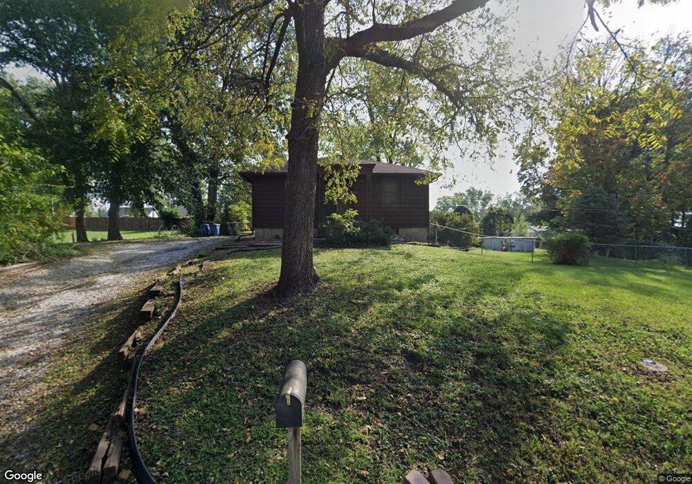
722 Osborn Dr Collinsville, IL 62234
Estimated Value: $129,000 - $172,000
2
Beds
2
Baths
896
Sq Ft
$160/Sq Ft
Est. Value
About This Home
This home is located at 722 Osborn Dr, Collinsville, IL 62234 and is currently estimated at $143,324, approximately $159 per square foot. 722 Osborn Dr is a home located in Madison County with nearby schools including John A Renfro Elementary School, Dorris Intermediate School, and Collinsville Middle School.
Ownership History
Date
Name
Owned For
Owner Type
Purchase Details
Closed on
Feb 11, 2005
Sold by
Maynard Janice M and Maynard Steven S
Bought by
Ward Keith C
Current Estimated Value
Home Financials for this Owner
Home Financials are based on the most recent Mortgage that was taken out on this home.
Original Mortgage
$67,500
Outstanding Balance
$39,208
Interest Rate
7.99%
Mortgage Type
Purchase Money Mortgage
Estimated Equity
$104,116
Purchase Details
Closed on
Oct 29, 2004
Sold by
Maynard Janice M and Phillips William M
Bought by
Maynard Steven S and Maynard Janice M
Create a Home Valuation Report for This Property
The Home Valuation Report is an in-depth analysis detailing your home's value as well as a comparison with similar homes in the area
Home Values in the Area
Average Home Value in this Area
Purchase History
| Date | Buyer | Sale Price | Title Company |
|---|---|---|---|
| Ward Keith C | $67,500 | Freedom Land Title | |
| Maynard Steven S | -- | -- |
Source: Public Records
Mortgage History
| Date | Status | Borrower | Loan Amount |
|---|---|---|---|
| Open | Ward Keith C | $67,500 |
Source: Public Records
Tax History Compared to Growth
Tax History
| Year | Tax Paid | Tax Assessment Tax Assessment Total Assessment is a certain percentage of the fair market value that is determined by local assessors to be the total taxable value of land and additions on the property. | Land | Improvement |
|---|---|---|---|---|
| 2024 | $1,901 | $35,740 | $7,200 | $28,540 |
| 2023 | $1,901 | $33,080 | $6,660 | $26,420 |
| 2022 | $1,782 | $29,720 | $5,960 | $23,760 |
| 2021 | $1,514 | $27,920 | $5,600 | $22,320 |
| 2020 | $1,441 | $26,640 | $5,340 | $21,300 |
| 2019 | $1,388 | $25,730 | $5,160 | $20,570 |
| 2018 | $1,457 | $25,930 | $4,870 | $21,060 |
| 2017 | $1,449 | $25,410 | $4,770 | $20,640 |
| 2016 | $1,517 | $25,410 | $4,770 | $20,640 |
| 2015 | $1,403 | $24,750 | $4,650 | $20,100 |
| 2014 | $1,403 | $24,750 | $4,650 | $20,100 |
| 2013 | $1,403 | $24,750 | $4,650 | $20,100 |
Source: Public Records
Map
Nearby Homes
- 501 Spring
- 1210 Constance St
- 919 Vine St
- 921 Prospect St
- 1120 Williams St
- 1227 Ridge Ave
- 308 Brown Ave
- 706 Illinois Ave
- 892 Lester Ave
- 617 N Morrison Ave
- 238 Mill St
- 203 Greenfield Dr
- 1002 California Ave
- 404 E Church St
- 1224 Cedar Ridge Ct
- 123 W Wickliffe Ave
- 216 S Chestnut St
- 0 N Keebler Ave
- 0 Strong Ave
- 1322 Leland St
- 984 Vermont Ave
- 718 Osborn Dr
- 988 Vermont Ave
- 899 Portland Ave
- 716 Osborn Dr
- 897 Portland Ave
- 901 Portland Ave
- 895 Portland Ave
- 992 Vermont Ave
- 725 Osborn Dr
- 903 Portland Ave
- 893 Portland Ave
- 905 Portland Ave
- 723 Osborn Dr
- 661 High School St
- 106 Julia St
- 102 Julia St
- 891 Portland Ave
- 907 Portland Ave
- 548 Pennsylvania St