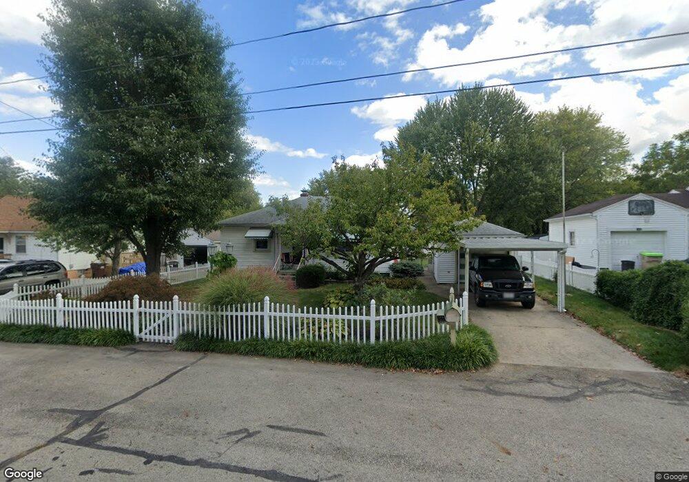
722 Patrick Rd Springfield, OH 45503
Estimated Value: $137,775 - $145,000
2
Beds
1
Bath
880
Sq Ft
$161/Sq Ft
Est. Value
About This Home
This home is located at 722 Patrick Rd, Springfield, OH 45503 and is currently estimated at $141,444, approximately $160 per square foot. 722 Patrick Rd is a home located in Clark County with nearby schools including Warder Park-Wayne Elementary School, Schaefer Middle School, and Springfield High School.
Ownership History
Date
Name
Owned For
Owner Type
Purchase Details
Closed on
Mar 19, 2021
Sold by
Thomas Paulette M
Bought by
Thomas Paulette M and Lee Thomas Kevin
Current Estimated Value
Purchase Details
Closed on
Oct 7, 2005
Sold by
Leep Oris and Leep Dorothy J
Bought by
Thomas Paulette M
Home Financials for this Owner
Home Financials are based on the most recent Mortgage that was taken out on this home.
Original Mortgage
$92,252
Interest Rate
5.88%
Mortgage Type
FHA
Purchase Details
Closed on
Jul 3, 1991
Sold by
Tanner Larry R and Tanner Pamela J
Bought by
Leep Oris and Leep Dorothy J
Purchase Details
Closed on
Oct 31, 1988
Create a Home Valuation Report for This Property
The Home Valuation Report is an in-depth analysis detailing your home's value as well as a comparison with similar homes in the area
Home Values in the Area
Average Home Value in this Area
Purchase History
| Date | Buyer | Sale Price | Title Company |
|---|---|---|---|
| Thomas Paulette M | -- | None Listed On Document | |
| Thomas Paulette M | $93,700 | -- | |
| Leep Oris | $56,900 | -- | |
| -- | $48,000 | -- |
Source: Public Records
Mortgage History
| Date | Status | Borrower | Loan Amount |
|---|---|---|---|
| Previous Owner | Thomas Paulette M | $92,252 |
Source: Public Records
Tax History
| Year | Tax Paid | Tax Assessment Tax Assessment Total Assessment is a certain percentage of the fair market value that is determined by local assessors to be the total taxable value of land and additions on the property. | Land | Improvement |
|---|---|---|---|---|
| 2025 | $1,434 | $35,350 | $6,560 | $28,790 |
| 2024 | $1,397 | $28,640 | $5,450 | $23,190 |
| 2023 | $1,397 | $28,640 | $5,450 | $23,190 |
| 2022 | $1,430 | $28,640 | $5,450 | $23,190 |
| 2021 | $1,227 | $22,380 | $4,260 | $18,120 |
| 2020 | $1,230 | $22,380 | $4,260 | $18,120 |
| 2019 | $1,233 | $22,380 | $4,260 | $18,120 |
| 2018 | $1,113 | $19,310 | $3,200 | $16,110 |
| 2017 | $1,112 | $19,307 | $3,196 | $16,111 |
| 2016 | $1,114 | $19,307 | $3,196 | $16,111 |
| 2015 | $1,100 | $18,670 | $3,196 | $15,474 |
| 2014 | $1,095 | $18,670 | $3,196 | $15,474 |
| 2013 | $1,084 | $18,670 | $3,196 | $15,474 |
Source: Public Records
Map
Nearby Homes
- 2845 Columbus Ave Unit 5
- 907 Bellevue Ave
- 207 Roseland Ave W
- 515 Bellevue Ave
- 419 Bellevue Ave
- 2201 Woodside Ave
- 2226 Columbus Ave
- 2224-2226 Columbus Ave
- 129 N Burnett Rd
- 2124 Woodside Ave
- 2210 Larch St
- 2702 Maplewood Ave
- 2111 Beatrice St
- 2691 Tecumseh Ave
- 1519 Edgewood Ave
- 2023 Cleveland Ave
- 2020 Woodside Ave
- 121 Willis Ave
- 115 S Burnett Rd
- 743 N Belmont Ave
- 718 Patrick Rd
- 2809 Marshall Rd
- 726 Patrick Rd
- 721 Patrick Rd
- 719 Patrick Rd
- 725 Patrick Rd
- 2813 Marshall Rd
- 738 Patrick Rd
- 2810 Marshall Rd
- 2816 Marshall Rd
- 737 Patrick Rd
- 731 Patrick Rd
- 2817 Marshall Rd
- 2820 Marshall Rd
- 719 Dwight Rd
- 715 Dwight Rd
- 2803 Dwight Rd
- 2801 Dwight Rd
- 2809 Dwight Rd
- 725 Dwight Rd
Your Personal Tour Guide
Ask me questions while you tour the home.