722 Redding Rd Redding, CT 06896
Estimated Value: $746,240 - $888,000
4
Beds
4
Baths
1,598
Sq Ft
$504/Sq Ft
Est. Value
About This Home
This home is located at 722 Redding Rd, Redding, CT 06896 and is currently estimated at $805,560, approximately $504 per square foot. 722 Redding Rd is a home located in Fairfield County with nearby schools including Redding Elementary School, John Read Middle School, and Joel Barlow High School.
Ownership History
Date
Name
Owned For
Owner Type
Purchase Details
Closed on
Jan 23, 2006
Sold by
Gardner Keith
Bought by
Petridis Ioakim
Current Estimated Value
Home Financials for this Owner
Home Financials are based on the most recent Mortgage that was taken out on this home.
Original Mortgage
$468,000
Outstanding Balance
$263,985
Interest Rate
6.33%
Estimated Equity
$541,575
Purchase Details
Closed on
Nov 2, 1999
Sold by
Saren Home Concepts Ic
Bought by
Gardner Keith and Finley John
Home Financials for this Owner
Home Financials are based on the most recent Mortgage that was taken out on this home.
Original Mortgage
$120,000
Interest Rate
7.25%
Purchase Details
Closed on
Jan 13, 1998
Sold by
Yock Jose and Yock Nydia
Bought by
Saren Home Concepts
Create a Home Valuation Report for This Property
The Home Valuation Report is an in-depth analysis detailing your home's value as well as a comparison with similar homes in the area
Home Values in the Area
Average Home Value in this Area
Purchase History
| Date | Buyer | Sale Price | Title Company |
|---|---|---|---|
| Petridis Ioakim | $585,000 | -- | |
| Gardner Keith | $361,500 | -- | |
| Saren Home Concepts | $210,000 | -- |
Source: Public Records
Mortgage History
| Date | Status | Borrower | Loan Amount |
|---|---|---|---|
| Open | Saren Home Concepts | $468,000 | |
| Closed | Saren Home Concepts | $58,450 | |
| Previous Owner | Saren Home Concepts | $130,000 | |
| Previous Owner | Saren Home Concepts | $120,000 |
Source: Public Records
Tax History
| Year | Tax Paid | Tax Assessment Tax Assessment Total Assessment is a certain percentage of the fair market value that is determined by local assessors to be the total taxable value of land and additions on the property. | Land | Improvement |
|---|---|---|---|---|
| 2025 | $11,411 | $386,300 | $153,800 | $232,500 |
| 2024 | $11,095 | $386,300 | $153,800 | $232,500 |
| 2023 | $10,697 | $386,300 | $153,800 | $232,500 |
| 2022 | $10,069 | $302,000 | $165,000 | $137,000 |
| 2021 | $9,918 | $302,000 | $165,000 | $137,000 |
| 2020 | $9,918 | $302,000 | $165,000 | $137,000 |
| 2019 | $9,918 | $302,000 | $165,000 | $137,000 |
| 2018 | $12,948 | $302,000 | $165,000 | $137,000 |
| 2017 | $8,572 | $289,400 | $165,400 | $124,000 |
| 2016 | $8,462 | $289,400 | $165,400 | $124,000 |
| 2015 | $8,367 | $289,400 | $165,400 | $124,000 |
| 2014 | $8,367 | $289,400 | $165,400 | $124,000 |
Source: Public Records
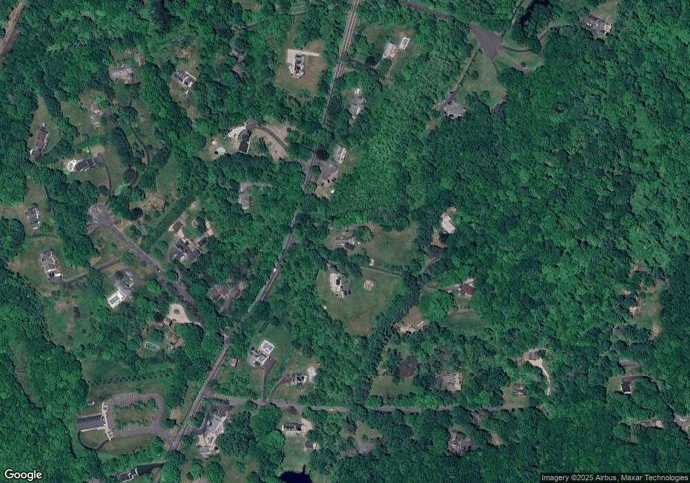
Map
Nearby Homes
- 9 Chuck Wagon Ln
- 24 Costa Ln
- 41 Turkey Plain Rd
- 2 Brick School Dr
- 193 Chestnut Ridge Rd
- 173 Chestnut Ridge Rd
- 155 Long Ridge Rd
- 151 Long Ridge Rd
- 21 Wicks Manor Dr
- 2 Longwood Dr
- 229 Umpawaug Rd
- 18 Goodhill Rd
- 138 Putnam Park Rd
- 4 Bailey Blvd Unit 4
- 3 Bailey Blvd Unit 3
- 12 Werf Dr
- 71 Picketts Ridge Rd
- 21 Oven Rock Rd
- 29 Carol St
- 3 Whitlock Ave
Your Personal Tour Guide
Ask me questions while you tour the home.