Estimated Value: $374,000 - $445,000
4
Beds
3
Baths
2,575
Sq Ft
$163/Sq Ft
Est. Value
About This Home
This home is located at 722 Rich Davis Rd Unit B, Hiram, GA 30141 and is currently estimated at $419,912, approximately $163 per square foot. 722 Rich Davis Rd Unit B is a home located in Paulding County with nearby schools including Sam D. Panter Elementary School, J. A. Dobbins Middle School, and Hiram High School.
Ownership History
Date
Name
Owned For
Owner Type
Purchase Details
Closed on
Feb 20, 2020
Sold by
Roquemore John R
Bought by
Roquemore James Raymond
Current Estimated Value
Purchase Details
Closed on
Apr 5, 2005
Sold by
Roquemore John R
Bought by
Roquemore John R and Roquemore Gary
Home Financials for this Owner
Home Financials are based on the most recent Mortgage that was taken out on this home.
Original Mortgage
$106,000
Interest Rate
5.62%
Mortgage Type
New Conventional
Create a Home Valuation Report for This Property
The Home Valuation Report is an in-depth analysis detailing your home's value as well as a comparison with similar homes in the area
Home Values in the Area
Average Home Value in this Area
Purchase History
| Date | Buyer | Sale Price | Title Company |
|---|---|---|---|
| Roquemore James Raymond | -- | -- | |
| Roquemore John R | -- | -- |
Source: Public Records
Mortgage History
| Date | Status | Borrower | Loan Amount |
|---|---|---|---|
| Previous Owner | Roquemore John R | $106,000 |
Source: Public Records
Tax History Compared to Growth
Tax History
| Year | Tax Paid | Tax Assessment Tax Assessment Total Assessment is a certain percentage of the fair market value that is determined by local assessors to be the total taxable value of land and additions on the property. | Land | Improvement |
|---|---|---|---|---|
| 2024 | $3,970 | $159,584 | $29,160 | $130,424 |
| 2023 | $3,995 | $153,244 | $28,400 | $124,844 |
| 2022 | $3,509 | $134,608 | $21,920 | $112,688 |
| 2021 | $2,992 | $102,944 | $17,120 | $85,824 |
| 2020 | $2,787 | $93,848 | $16,200 | $77,648 |
| 2019 | $2,559 | $84,940 | $17,120 | $67,820 |
| 2018 | $2,428 | $80,584 | $15,320 | $65,264 |
| 2017 | $2,232 | $73,048 | $14,680 | $58,368 |
| 2016 | $1,907 | $63,064 | $14,680 | $48,384 |
| 2015 | $1,823 | $59,220 | $14,400 | $44,820 |
| 2014 | $1,692 | $53,592 | $13,240 | $40,352 |
| 2013 | -- | $45,520 | $14,560 | $30,960 |
Source: Public Records
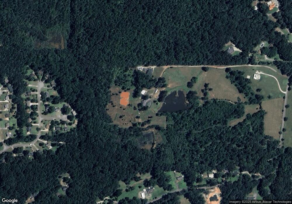
Map
Nearby Homes
- 129 Fawn Trail
- 1379 Rich Davis Rd
- 552 Rich Davis Rd
- 83 Shipp Cir
- 124 Lynn Dr
- 617 Kyles Cir
- 493 Kyles Cir
- 3124 Hiram Sudie Rd
- 6488 Nebo Rd
- 122 Hale Mountain Ct
- 138 Gorham Gates Dr
- 7012 Nebo Rd
- 133 Willow Bend Dr
- 149 Willow Bend Dr
- 31 Trayton Way
- 2393 Bill Carruth Pkwy
- 426 Old Sudie Rd
- 133 Willow Bend Rd
- 722 Rich Davis Rd Unit A
- 722 Rich Davis Rd
- 722 Rich Davis Rd Unit 3 A
- 722 Rich Davis Rd Unit A
- 722 Rich Davis Rd
- 720 Rich Davis Rd
- 720 Rich Davis Rd Unit A
- 57 Doe Ln
- 54 Doe Ln
- 49 Doe Ln
- 1130 Rich Davis Rd
- 48 Doe Ln
- 1200 Rich Davis Rd
- 39 Doe Ln
- 306 Deerfield Dr
- 698 Rich Davis Rd
- 0 Doe Ln Unit 7568560
- 0 Doe Ln Unit 3252995
- 0 Doe Ln
- 28 Doe Ln