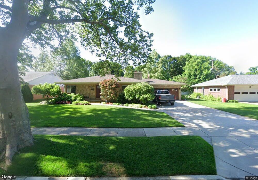
722 Russwood St NE Grand Rapids, MI 49505
Creston NeighborhoodEstimated Value: $413,163 - $485,000
3
Beds
3
Baths
1,892
Sq Ft
$232/Sq Ft
Est. Value
About This Home
This home is located at 722 Russwood St NE, Grand Rapids, MI 49505 and is currently estimated at $439,291, approximately $232 per square foot. 722 Russwood St NE is a home located in Kent County with nearby schools including Riverside Middle School, Union High School, and All Saints Academy - Lower Campus.
Ownership History
Date
Name
Owned For
Owner Type
Purchase Details
Closed on
Apr 23, 2021
Sold by
Hamersma Brian T and Hamersma Nancy J
Bought by
Hamersma Brian T and Hamersma Family Protection Tru
Current Estimated Value
Purchase Details
Closed on
Jul 9, 2012
Sold by
Barclay John H and The Wodrow H Barclay Trust
Bought by
Hamersma Brian and Hamersma Nancy
Purchase Details
Closed on
Dec 29, 1999
Sold by
Barclay Woodrow H Martha M
Bought by
Barclay Woodrow H Trust and Hamersma Brian Nancy
Create a Home Valuation Report for This Property
The Home Valuation Report is an in-depth analysis detailing your home's value as well as a comparison with similar homes in the area
Home Values in the Area
Average Home Value in this Area
Purchase History
| Date | Buyer | Sale Price | Title Company |
|---|---|---|---|
| Hamersma Brian T | -- | None Listed On Document | |
| Hamersma Brian | $141,200 | Independent Title Svcs Inc | |
| Barclay Woodrow H Trust | -- | -- |
Source: Public Records
Tax History Compared to Growth
Tax History
| Year | Tax Paid | Tax Assessment Tax Assessment Total Assessment is a certain percentage of the fair market value that is determined by local assessors to be the total taxable value of land and additions on the property. | Land | Improvement |
|---|---|---|---|---|
| 2025 | $3,470 | $221,300 | $0 | $0 |
| 2024 | $3,470 | $207,600 | $0 | $0 |
| 2023 | $3,521 | $178,500 | $0 | $0 |
| 2022 | $3,343 | $163,100 | $0 | $0 |
| 2021 | $3,268 | $142,700 | $0 | $0 |
| 2020 | $3,124 | $132,900 | $0 | $0 |
| 2019 | $3,272 | $123,300 | $0 | $0 |
| 2018 | $3,160 | $115,300 | $0 | $0 |
| 2017 | $3,076 | $103,600 | $0 | $0 |
| 2016 | $3,113 | $93,900 | $0 | $0 |
| 2015 | $2,896 | $93,900 | $0 | $0 |
| 2013 | -- | $44,700 | $0 | $0 |
Source: Public Records
Map
Nearby Homes
- 661 Conger St NE
- 2550 Borglum Ave NE
- 648 Russwood St NE
- 929 Ellsmere St NE
- 2905 Remy Ct NE Unit 1
- 518 Russwood St NE
- 838 Aberdeen St NE
- 2630 Oakwood Ave NE
- 1116 Kelsey St NE
- 753 Halena St NE
- 2480 Lafayette Ave NE
- 1139 Arlington St NE
- 1110 Aberdeen St NE
- 3151 Kendalwood Ct NE
- 3030 Plainfield Ave NE
- 1115 Ecklund St NE
- 1313 Ellsmere St NE
- 483 Kenwood St NE
- 465 Kenwood St NE
- 2624 Monroe Ave NE
- 732 Russwood St NE
- 714 Russwood St NE
- 717 Conger St NE
- 706 Russwood St NE
- 740 Russwood St NE
- 707 Conger St NE
- 2627 Borglum Ave NE
- 705 Conger St NE
- 2635 Borglum Ave NE
- 715 Russwood St NE
- 723 Russwood St NE
- 2613 Borglum Ave NE
- 700 Russwood St NE
- 709 Russwood St NE
- 735 Russwood St NE
- 746 Russwood St NE
- 727 Conger St NE
- 701 Conger St NE
- 743 Russwood St NE
- 705 Russwood St NE