722 Stockton Ridge Unit 127 Cranberry Township, PA 16066
Estimated Value: $219,662 - $273,000
3
Beds
2
Baths
1,514
Sq Ft
$163/Sq Ft
Est. Value
About This Home
This home is located at 722 Stockton Ridge Unit 127, Cranberry Township, PA 16066 and is currently estimated at $247,166, approximately $163 per square foot. 722 Stockton Ridge Unit 127 is a home located in Butler County with nearby schools including Evans City Middle School, Ryan Gloyer Middle School, and Seneca Valley Senior High School.
Ownership History
Date
Name
Owned For
Owner Type
Purchase Details
Closed on
Oct 23, 2020
Sold by
Long Dennis R
Bought by
Sacco Cynthia
Current Estimated Value
Purchase Details
Closed on
Sep 1, 2015
Sold by
Long Eileen and Long Dennis R
Bought by
Long Eileen M and Long Dennis R
Home Financials for this Owner
Home Financials are based on the most recent Mortgage that was taken out on this home.
Original Mortgage
$167,527
Interest Rate
4.01%
Mortgage Type
VA
Purchase Details
Closed on
Jun 8, 2004
Sold by
Foxmoor Condominiums
Bought by
Long Eileen
Home Financials for this Owner
Home Financials are based on the most recent Mortgage that was taken out on this home.
Original Mortgage
$132,720
Interest Rate
6.28%
Mortgage Type
New Conventional
Create a Home Valuation Report for This Property
The Home Valuation Report is an in-depth analysis detailing your home's value as well as a comparison with similar homes in the area
Home Values in the Area
Average Home Value in this Area
Purchase History
| Date | Buyer | Sale Price | Title Company |
|---|---|---|---|
| Sacco Cynthia | $190,000 | None Available | |
| Long Eileen M | -- | None Available | |
| Long Eileen | $165,900 | -- |
Source: Public Records
Mortgage History
| Date | Status | Borrower | Loan Amount |
|---|---|---|---|
| Previous Owner | Long Eileen M | $167,527 | |
| Previous Owner | Long Eileen | $132,720 |
Source: Public Records
Tax History Compared to Growth
Tax History
| Year | Tax Paid | Tax Assessment Tax Assessment Total Assessment is a certain percentage of the fair market value that is determined by local assessors to be the total taxable value of land and additions on the property. | Land | Improvement |
|---|---|---|---|---|
| 2025 | $3,829 | $21,370 | $1,000 | $20,370 |
| 2024 | $3,716 | $21,370 | $1,000 | $20,370 |
| 2023 | $3,661 | $21,370 | $1,000 | $20,370 |
| 2022 | $3,661 | $21,370 | $1,000 | $20,370 |
| 2021 | $3,607 | $21,370 | $0 | $0 |
| 2020 | $3,607 | $21,370 | $1,000 | $20,370 |
| 2019 | $3,566 | $21,370 | $1,000 | $20,370 |
| 2018 | $3,566 | $21,370 | $1,000 | $20,370 |
| 2017 | $3,502 | $21,370 | $1,000 | $20,370 |
| 2016 | $961 | $21,370 | $1,000 | $20,370 |
| 2015 | $433 | $21,370 | $1,000 | $20,370 |
| 2014 | $433 | $21,370 | $1,000 | $20,370 |
Source: Public Records
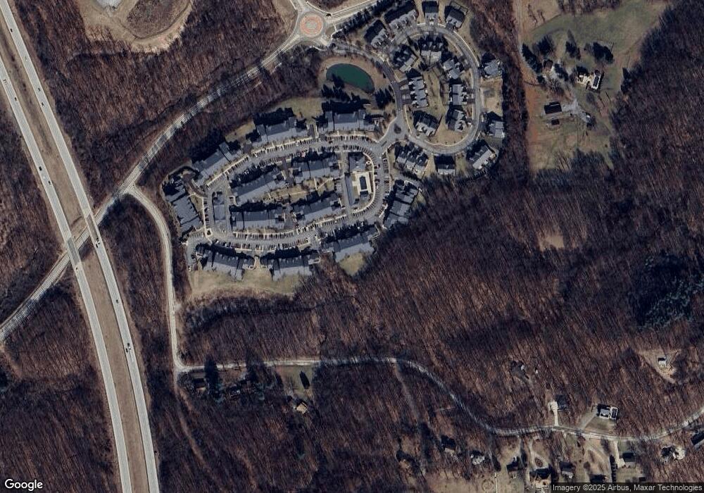
Map
Nearby Homes
- 715 Stockton Ridge
- 1009 Stockton Ridge
- 209 Stockton Ridge
- 311 Stockton Ridge
- 1547 Garvin Rd
- 91 Celtic Ash Ct
- 106 Moyer Hill Dr
- 139 Moyer Hill Dr
- 119 Grindstone Place
- 205 Carry Back Ct
- 0 Friendship Ln
- 9308 Marshall Rd
- 503 Tioga Dr
- 203 Forest Dr
- 105 York Rd
- 218 Gate Dancer Dr
- 8057 Maureen Dr
- 914 Chester Dr
- 426 Perry Cir
- 418 Settlers Village Cir
- 722 Stockton Ridge
- 711 Stockton Ridge
- 713 Stockton Ridge
- 714 Stockton Ridge
- 721 Stockton Ridge
- 717 Stockton Ridge
- 723 Stockton Ridge
- 716 Stockton Ridge
- 718 Stockton Ridge
- 709 Stockton Ridge
- 702 Stockton Ridge
- 706 Stockton Ridge
- 712 Stockton Ridge
- 720 Stockton Ridge
- 719 Stockton Ridge
- 704 Stockton Ridge
- 705 Stockton Ridge
- 710 Stockton Ridge
- 710 Stockton Ridge Unit 133
- 724 Stockton Ridge