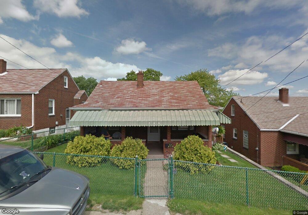
722 Upston St McKeesport, PA 15133
Estimated Value: $135,000 - $150,000
3
Beds
1
Bath
1,233
Sq Ft
$115/Sq Ft
Est. Value
About This Home
This home is located at 722 Upston St, McKeesport, PA 15133 and is currently estimated at $141,765, approximately $114 per square foot. 722 Upston St is a home located in Allegheny County with nearby schools including South Allegheny Elementary School, South Allegheny High School, and Propel Schools - McKeesport.
Ownership History
Date
Name
Owned For
Owner Type
Purchase Details
Closed on
Jul 24, 1995
Sold by
Farkas David R
Bought by
Kish David A and Kish Sharon J
Current Estimated Value
Purchase Details
Closed on
Jul 21, 1995
Sold by
Bailey Janet V
Bought by
Farkas David R
Purchase Details
Closed on
Jul 20, 1995
Sold by
Vyrostek Carol F
Bought by
Farkas David R
Purchase Details
Closed on
Apr 7, 1995
Sold by
Vyrostek Carol F and Farkas Vivian
Bought by
Farkas David R
Create a Home Valuation Report for This Property
The Home Valuation Report is an in-depth analysis detailing your home's value as well as a comparison with similar homes in the area
Home Values in the Area
Average Home Value in this Area
Purchase History
| Date | Buyer | Sale Price | Title Company |
|---|---|---|---|
| Kish David A | $45,500 | -- | |
| Farkas David R | -- | -- | |
| Farkas David R | -- | -- | |
| Farkas David R | -- | -- |
Source: Public Records
Tax History Compared to Growth
Tax History
| Year | Tax Paid | Tax Assessment Tax Assessment Total Assessment is a certain percentage of the fair market value that is determined by local assessors to be the total taxable value of land and additions on the property. | Land | Improvement |
|---|---|---|---|---|
| 2025 | $2,222 | $58,300 | $12,000 | $46,300 |
| 2024 | $2,136 | $58,300 | $12,000 | $46,300 |
| 2023 | $2,136 | $58,300 | $12,000 | $46,300 |
| 2022 | $2,000 | $58,300 | $12,000 | $46,300 |
| 2021 | $1,947 | $58,300 | $12,000 | $46,300 |
| 2020 | $1,902 | $58,300 | $12,000 | $46,300 |
| 2019 | $1,807 | $58,300 | $12,000 | $46,300 |
| 2018 | $276 | $58,300 | $12,000 | $46,300 |
| 2017 | $1,712 | $58,300 | $12,000 | $46,300 |
| 2016 | $276 | $58,300 | $12,000 | $46,300 |
| 2015 | $276 | $58,300 | $12,000 | $46,300 |
| 2014 | $1,712 | $58,300 | $12,000 | $46,300 |
Source: Public Records
Map
Nearby Homes
- 706 Upston St
- 706 Upston St Unit 2
- 732 Upston St
- 505 Manning Ave
- 524 Archer St
- 502 Archer St
- 1000 Washington Blvd
- 1009 Oakland Ave
- 533 Monterey St
- 800 Romine Ave
- 1310 Beverly Rd
- 1419 Washington Blvd
- 601 Romine Ave
- 1220 Romine Ave
- 1222 Romine Ave
- 1332 Beverly Rd
- 416 Pine St
- 335-345 Dersam St
- 1317 New York Ave
- 320 Dersam St
- 718 Upston St
- 726 Upston St
- 714 Upston St
- 901 Morton Ave
- 730 Upston St
- 900 Morton Ave
- 201-202 Morton Ave
- 710 Upston St
- 905 Morton Ave
- 906 Morton Ave
- 721 Manning Ave
- 706 Upston St Unit Front
- 717 Manning Ave
- 725 Manning Ave
- 713 Manning Ave
- 729 Manning Ave
- 907 Morton Ave
- 901 Pleasant Ave
- 709 Manning Ave
- 700 Upston St