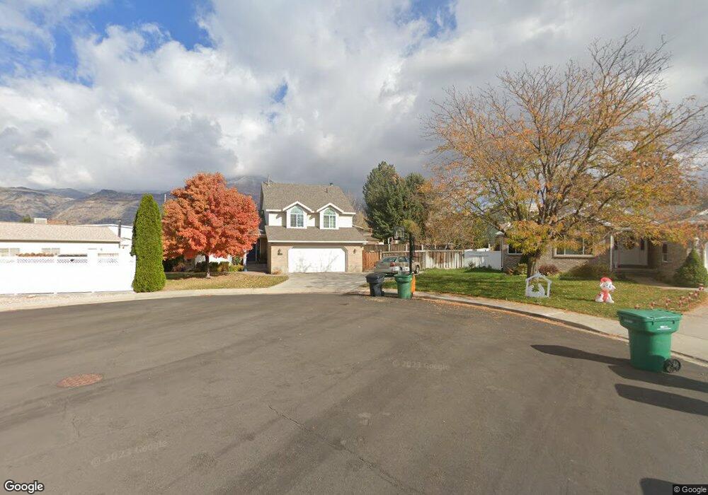
722 W 1540 N Orem, UT 84057
Bonneville NeighborhoodEstimated Value: $609,000 - $705,000
5
Beds
3
Baths
2,855
Sq Ft
$225/Sq Ft
Est. Value
About This Home
This home is located at 722 W 1540 N, Orem, UT 84057 and is currently estimated at $641,587, approximately $224 per square foot. 722 W 1540 N is a home located in Utah County with nearby schools including Bonneville Elementary School, Orem Junior High School, and Timpanogos High School.
Ownership History
Date
Name
Owned For
Owner Type
Purchase Details
Closed on
Jun 13, 2003
Sold by
Behunin Jason P and Behunin Marcy A
Bought by
Behunin Jason P and Behunin Marcey A
Current Estimated Value
Purchase Details
Closed on
Nov 27, 2002
Sold by
Donaldson Matthew L and Donaldson Meredith M
Bought by
Behunin Jason P and Behunin Marcy A
Home Financials for this Owner
Home Financials are based on the most recent Mortgage that was taken out on this home.
Original Mortgage
$186,450
Outstanding Balance
$79,397
Interest Rate
6.12%
Estimated Equity
$562,190
Purchase Details
Closed on
Sep 25, 2002
Sold by
Mcconnaughy Mark Brian and Mcconnaughy Ida Catherine
Bought by
Donaldson Matthew L and Donaldson Meredith M
Create a Home Valuation Report for This Property
The Home Valuation Report is an in-depth analysis detailing your home's value as well as a comparison with similar homes in the area
Home Values in the Area
Average Home Value in this Area
Purchase History
| Date | Buyer | Sale Price | Title Company |
|---|---|---|---|
| Behunin Jason P | -- | Access Title Company | |
| Behunin Jason P | -- | Sundance Title Insurance Ag | |
| Donaldson Matthew L | $140,200 | -- |
Source: Public Records
Mortgage History
| Date | Status | Borrower | Loan Amount |
|---|---|---|---|
| Open | Behunin Jason P | $186,450 |
Source: Public Records
Tax History Compared to Growth
Tax History
| Year | Tax Paid | Tax Assessment Tax Assessment Total Assessment is a certain percentage of the fair market value that is determined by local assessors to be the total taxable value of land and additions on the property. | Land | Improvement |
|---|---|---|---|---|
| 2025 | $2,337 | $297,550 | $214,900 | $326,100 |
| 2024 | $2,337 | $285,725 | $0 | $0 |
| 2023 | $2,231 | $293,205 | $0 | $0 |
| 2022 | $2,152 | $273,955 | $0 | $0 |
| 2021 | $2,004 | $386,500 | $167,900 | $218,600 |
| 2020 | $1,839 | $348,600 | $134,300 | $214,300 |
| 2019 | $1,728 | $340,500 | $134,300 | $206,200 |
| 2018 | $1,693 | $318,800 | $122,800 | $196,000 |
| 2017 | $1,696 | $171,105 | $0 | $0 |
| 2016 | $1,670 | $155,375 | $0 | $0 |
| 2015 | $1,691 | $148,775 | $0 | $0 |
| 2014 | $1,612 | $141,185 | $0 | $0 |
Source: Public Records
Map
Nearby Homes
- 1561 N 740 W
- 613 W 1550 N
- 597 W 1400 N
- 736 W 1800 N
- 582 W 1300 N
- 1798 N 860 W
- 856 W 1840 N
- 1455 N Amiron Way Unit A
- 545 W 1240 N
- 332 W Amiron Way Unit D
- 1527 N 275 St W Unit 4
- 1543 N 275 St W Unit 2
- 1531 N 275 St W Unit 3
- 1570 N 275 St W
- 1557 N 275 St W Unit 1
- 1542 N 275 St W Unit 5
- 1556 N 275 St W Unit 5
- 1554 N 1150 W
- 1991 N 920 W
- 1154 W 1340 N