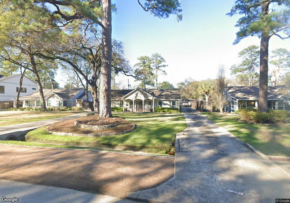
722 W 42nd St Houston, TX 77018
Oak Forest-Garden Oaks NeighborhoodEstimated Value: $917,000 - $1,081,000
4
Beds
2
Baths
2,898
Sq Ft
$343/Sq Ft
Est. Value
About This Home
This home is located at 722 W 42nd St, Houston, TX 77018 and is currently estimated at $994,633, approximately $343 per square foot. 722 W 42nd St is a home located in Harris County with nearby schools including Garden Oaks Montessori, Frank Black Middle School, and Waltrip High School.
Ownership History
Date
Name
Owned For
Owner Type
Purchase Details
Closed on
Apr 13, 2007
Sold by
Chen Walter and Chen Jennifer L
Bought by
Bailey Daniel B and Bailey Robyn B
Current Estimated Value
Home Financials for this Owner
Home Financials are based on the most recent Mortgage that was taken out on this home.
Original Mortgage
$352,000
Outstanding Balance
$212,594
Interest Rate
6.13%
Mortgage Type
Purchase Money Mortgage
Estimated Equity
$782,039
Purchase Details
Closed on
Dec 16, 2005
Sold by
Deleon Genevieve R and Robles Genevieve G
Bought by
Chen Walter
Home Financials for this Owner
Home Financials are based on the most recent Mortgage that was taken out on this home.
Original Mortgage
$359,650
Interest Rate
6.3%
Mortgage Type
Purchase Money Mortgage
Create a Home Valuation Report for This Property
The Home Valuation Report is an in-depth analysis detailing your home's value as well as a comparison with similar homes in the area
Home Values in the Area
Average Home Value in this Area
Purchase History
| Date | Buyer | Sale Price | Title Company |
|---|---|---|---|
| Bailey Daniel B | -- | Etc | |
| Chen Walter | -- | Partners Title Company |
Source: Public Records
Mortgage History
| Date | Status | Borrower | Loan Amount |
|---|---|---|---|
| Open | Bailey Daniel B | $352,000 | |
| Previous Owner | Chen Walter | $359,650 |
Source: Public Records
Tax History Compared to Growth
Tax History
| Year | Tax Paid | Tax Assessment Tax Assessment Total Assessment is a certain percentage of the fair market value that is determined by local assessors to be the total taxable value of land and additions on the property. | Land | Improvement |
|---|---|---|---|---|
| 2025 | $9,042 | $938,111 | $534,660 | $403,451 |
| 2024 | $9,042 | $891,390 | $534,660 | $356,730 |
| 2023 | $9,042 | $968,700 | $509,200 | $459,500 |
| 2022 | $16,762 | $783,978 | $420,090 | $363,888 |
| 2021 | $16,129 | $735,098 | $394,630 | $340,468 |
| 2020 | $15,235 | $629,127 | $394,630 | $234,497 |
| 2019 | $17,030 | $673,000 | $394,630 | $278,370 |
| 2018 | $14,148 | $712,900 | $356,440 | $356,460 |
| 2017 | $16,327 | $645,714 | $318,250 | $327,464 |
| 2016 | $15,117 | $673,706 | $318,250 | $355,456 |
| 2015 | $10,034 | $627,262 | $318,250 | $309,012 |
| 2014 | $10,034 | $550,655 | $318,250 | $232,405 |
Source: Public Records
Map
Nearby Homes
- 702 Azaleadell Dr
- 739 Azaleadell Dr
- 814 W 41st St
- 806 Fisher St Unit C
- 806 Fisher St Unit B
- 806 Fisher St Unit F
- 535 Azaleadell Dr
- 834 W 41st St
- 709 W 39th St
- 814 Azalea St
- 830 Azalea St
- 4510 Curtin Park Ct
- 3809 Brinkman St
- 748 Curtin St
- 750 Curtin St
- 752 Curtin St
- 744 Curtin St
- 742 Curtin St
- 833 Fisher St Unit C
- 824 Wakefield Dr Unit A