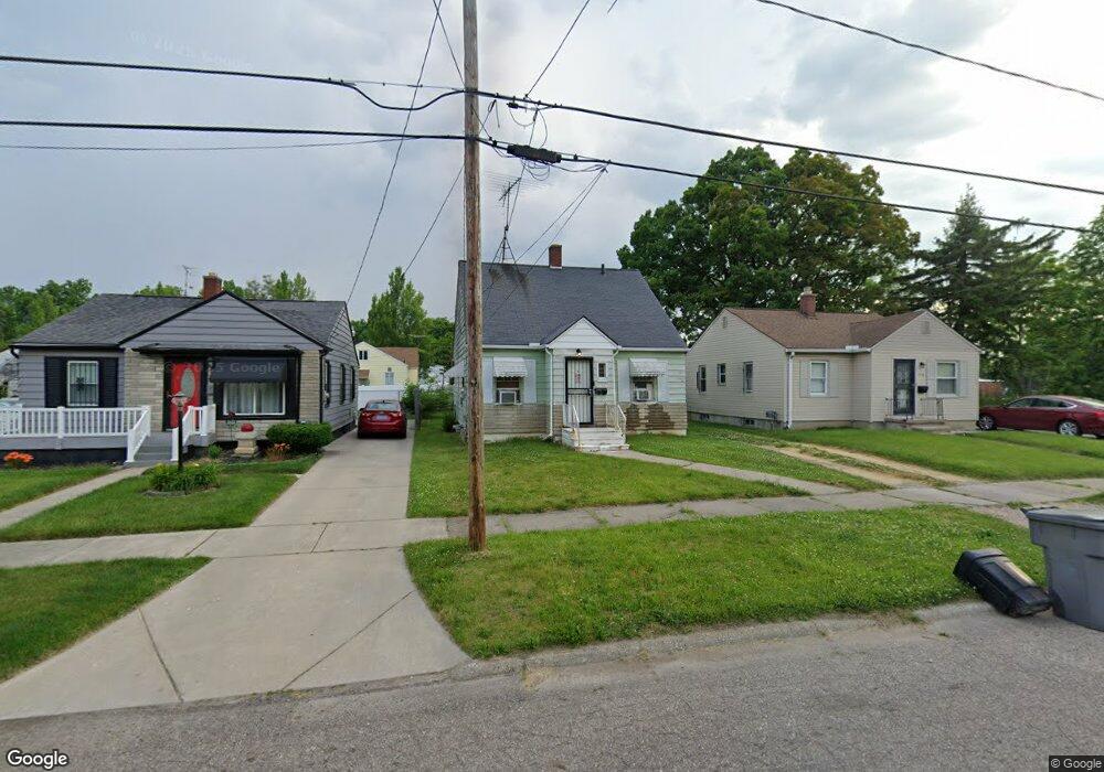
722 W Dartmouth St Flint, MI 48504
Civic Park NeighborhoodEstimated Value: $23,000 - $62,000
2
Beds
1
Bath
744
Sq Ft
$58/Sq Ft
Est. Value
About This Home
This home is located at 722 W Dartmouth St, Flint, MI 48504 and is currently estimated at $43,290, approximately $58 per square foot. 722 W Dartmouth St is a home located in Genesee County with nearby schools including Brownell STEM Academy, Greater Heights Academy, and Eagle's Nest Academy.
Ownership History
Date
Name
Owned For
Owner Type
Purchase Details
Closed on
Mar 4, 2016
Sold by
Stair Philip G and Genesee County Land Bank Autho
Bought by
Scroggins Roderick
Current Estimated Value
Purchase Details
Closed on
Dec 20, 2012
Sold by
Cherry Deborah L and Genesee County Treasurer
Bought by
Genesee County Land Bank
Purchase Details
Closed on
Jul 3, 2007
Sold by
Washburn Elwin F and Washburn Dorothy L
Bought by
Lasalle Bank
Create a Home Valuation Report for This Property
The Home Valuation Report is an in-depth analysis detailing your home's value as well as a comparison with similar homes in the area
Home Values in the Area
Average Home Value in this Area
Purchase History
| Date | Buyer | Sale Price | Title Company |
|---|---|---|---|
| Scroggins Roderick | -- | None Available | |
| Genesee County Land Bank | -- | None Available | |
| Lasalle Bank | -- | None Available |
Source: Public Records
Tax History Compared to Growth
Tax History
| Year | Tax Paid | Tax Assessment Tax Assessment Total Assessment is a certain percentage of the fair market value that is determined by local assessors to be the total taxable value of land and additions on the property. | Land | Improvement |
|---|---|---|---|---|
| 2025 | $655 | $7,400 | $0 | $0 |
| 2024 | $618 | $7,000 | $0 | $0 |
| 2023 | $613 | $6,000 | $0 | $0 |
| 2022 | $0 | $5,000 | $0 | $0 |
| 2021 | $616 | $4,800 | $0 | $0 |
| 2020 | $681 | $6,300 | $0 | $0 |
| 2019 | $711 | $6,800 | $0 | $0 |
| 2018 | $690 | $7,100 | $0 | $0 |
| 2017 | $674 | $0 | $0 | $0 |
| 2016 | $670 | $0 | $0 | $0 |
| 2015 | -- | $0 | $0 | $0 |
| 2014 | -- | $0 | $0 | $0 |
| 2012 | -- | $8,400 | $0 | $0 |
Source: Public Records
Map
Nearby Homes
- 2718 N Chevrolet Ave
- 409 W Genesee St
- 3422 Race St
- 1209 W Mcclellan St
- 311 W Genesee St
- 1101 W Rankin St
- 1402 W Dartmouth St
- 200 W Mcclellan St
- 1521 W Dartmouth St
- 506 Green St
- 2913
- 2913 Martin Luther King Ave
- 2414 Delmar St
- 3722 Sterling St
- 3420 Fleming Rd
- 2907 Trumbull Ave
- 2318 Delmar St
- 115 W Baker St
- 1713 W Dartmouth St
- 1013 W Hamilton Ave
- 726 W Dartmouth St
- 718 W Dartmouth St
- 730 W Dartmouth St
- 714 W Dartmouth St
- 725 W Genesee St
- 734 W Dartmouth St
- 721 W Genesee St
- 733 W Genesee St
- 802 W Dartmouth St
- 721 W Dartmouth St
- 2901 Dupont St
- 725 W Dartmouth St
- 717 W Dartmouth St
- 2921 Dupont St
- 737 W Genesee St
- 729 W Dartmouth St
- 713 W Dartmouth St
- 806 W Dartmouth St
- 733 W Dartmouth St
- 741 W Genesee St