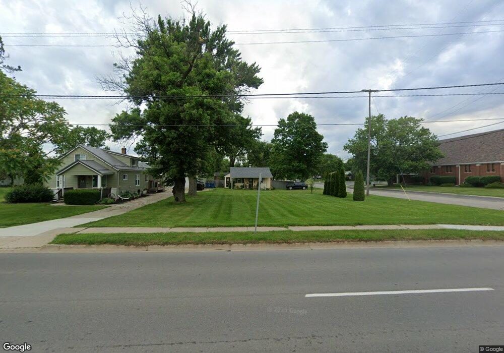
722 W Flint St Unit Bldg-Unit Davison, MI 48423
Estimated Value: $118,107 - $153,000
2
Beds
1
Bath
652
Sq Ft
$202/Sq Ft
Est. Value
About This Home
This home is located at 722 W Flint St Unit Bldg-Unit, Davison, MI 48423 and is currently estimated at $131,527, approximately $201 per square foot. 722 W Flint St Unit Bldg-Unit is a home located in Genesee County with nearby schools including Thomson Elementary School, Hill Elementary School, and Gates Elementary School.
Ownership History
Date
Name
Owned For
Owner Type
Purchase Details
Closed on
Aug 14, 2025
Sold by
Kohout Donna M
Bought by
Kohout Donna M and Kohout Trust
Current Estimated Value
Purchase Details
Closed on
Jun 26, 2018
Sold by
West Taylor Duffie and Duffie Taylor A
Bought by
Kohout Donna M
Home Financials for this Owner
Home Financials are based on the most recent Mortgage that was taken out on this home.
Original Mortgage
$56,000
Interest Rate
4.5%
Mortgage Type
New Conventional
Purchase Details
Closed on
Aug 21, 2014
Sold by
Richert William J and Richert Amber
Bought by
Duffie Taylor A
Purchase Details
Closed on
Sep 18, 2001
Sold by
Britton Cheryl Ann
Bought by
Richert William J
Create a Home Valuation Report for This Property
The Home Valuation Report is an in-depth analysis detailing your home's value as well as a comparison with similar homes in the area
Home Values in the Area
Average Home Value in this Area
Purchase History
| Date | Buyer | Sale Price | Title Company |
|---|---|---|---|
| Kohout Donna M | -- | None Listed On Document | |
| Kohout Donna M | $75,000 | Gaarw Title Agency Llc | |
| Duffie Taylor A | $34,900 | Sargents Title Company | |
| Richert William J | $58,000 | Metropolitan Title Company |
Source: Public Records
Mortgage History
| Date | Status | Borrower | Loan Amount |
|---|---|---|---|
| Previous Owner | Kohout Donna M | $56,000 |
Source: Public Records
Tax History Compared to Growth
Tax History
| Year | Tax Paid | Tax Assessment Tax Assessment Total Assessment is a certain percentage of the fair market value that is determined by local assessors to be the total taxable value of land and additions on the property. | Land | Improvement |
|---|---|---|---|---|
| 2025 | $1,988 | $46,500 | $0 | $0 |
| 2024 | $1,284 | $41,400 | $0 | $0 |
| 2023 | $1,236 | $40,000 | $0 | $0 |
| 2022 | $1,819 | $36,900 | $0 | $0 |
| 2021 | $1,712 | $34,100 | $0 | $0 |
| 2020 | $1,073 | $34,900 | $0 | $0 |
| 2019 | $1,019 | $29,600 | $0 | $0 |
| 2018 | $1,427 | $29,400 | $0 | $0 |
| 2017 | $1,354 | $29,100 | $0 | $0 |
| 2016 | $1,343 | $27,800 | $0 | $0 |
| 2015 | $1,339 | $27,000 | $0 | $0 |
| 2012 | -- | $26,700 | $26,700 | $0 |
Source: Public Records
Map
Nearby Homes
- 9216 Davison Rd
- 625 Charles St
- 502 Gary Ray Dr
- 230 W Flint St
- 923 Village
- 927 Village Dr
- 913 Moore St
- 9086 Spring Brook Cir Unit 51
- 505 N Main St
- 7040 N Oak Rd
- 2351 Baltimore
- 2239 Baltimore Ln
- 2339 Clifden
- 7120 N Oak Rd
- 7250 N Oak Rd
- 2464 E Stanley
- 00 Richfield Rd E
- 8234 E Richfield Rd
- 7165 Donegal
- 2247 Baltimore Ln