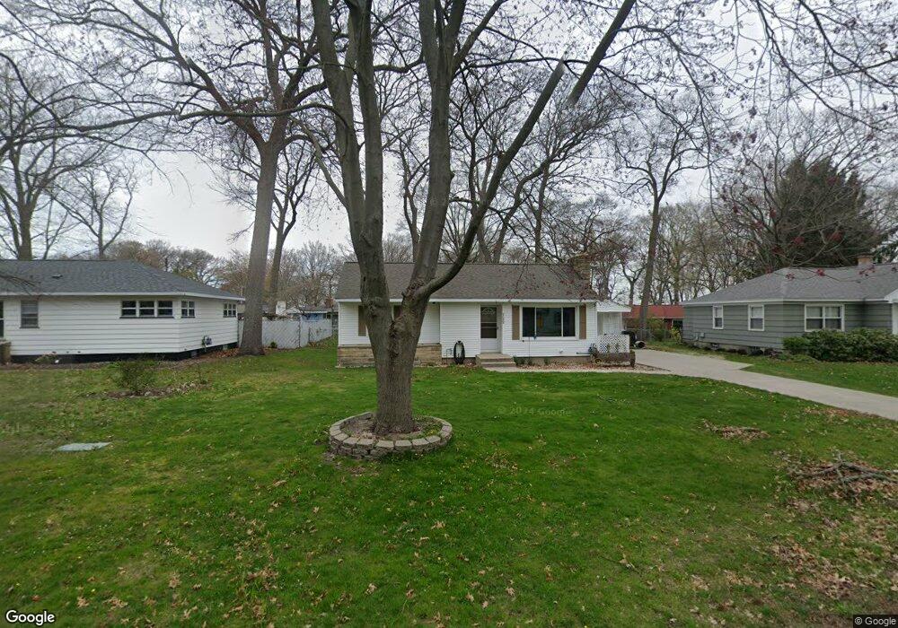
722 Wendover Blvd Norton Shores, MI 49441
Estimated Value: $250,340 - $286,000
3
Beds
2
Baths
1,570
Sq Ft
$172/Sq Ft
Est. Value
About This Home
This home is located at 722 Wendover Blvd, Norton Shores, MI 49441 and is currently estimated at $270,585, approximately $172 per square foot. 722 Wendover Blvd is a home located in Muskegon County with nearby schools including Mona Shores High School, Edgewood Elementary Academy, and Dr. Martin Luther King Academy.
Ownership History
Date
Name
Owned For
Owner Type
Purchase Details
Closed on
Nov 17, 2021
Sold by
Linderman Carol J
Bought by
Linderman Ryan
Current Estimated Value
Purchase Details
Closed on
Apr 21, 2003
Sold by
Nehra Philip A
Bought by
Linderman Carol J
Home Financials for this Owner
Home Financials are based on the most recent Mortgage that was taken out on this home.
Original Mortgage
$84,500
Outstanding Balance
$36,194
Interest Rate
5.71%
Mortgage Type
Unknown
Estimated Equity
$234,391
Create a Home Valuation Report for This Property
The Home Valuation Report is an in-depth analysis detailing your home's value as well as a comparison with similar homes in the area
Home Values in the Area
Average Home Value in this Area
Purchase History
| Date | Buyer | Sale Price | Title Company |
|---|---|---|---|
| Linderman Ryan | -- | None Available | |
| Linderman Carol J | $116,500 | -- |
Source: Public Records
Mortgage History
| Date | Status | Borrower | Loan Amount |
|---|---|---|---|
| Open | Linderman Carol J | $84,500 |
Source: Public Records
Tax History Compared to Growth
Tax History
| Year | Tax Paid | Tax Assessment Tax Assessment Total Assessment is a certain percentage of the fair market value that is determined by local assessors to be the total taxable value of land and additions on the property. | Land | Improvement |
|---|---|---|---|---|
| 2025 | $2,170 | $111,500 | $0 | $0 |
| 2024 | $1,701 | $96,300 | $0 | $0 |
| 2023 | $1,625 | $87,700 | $0 | $0 |
| 2022 | $1,980 | $76,100 | $0 | $0 |
| 2021 | $1,924 | $67,800 | $0 | $0 |
| 2020 | $1,903 | $66,300 | $0 | $0 |
| 2019 | $1,868 | $61,700 | $0 | $0 |
| 2018 | $1,824 | $53,300 | $0 | $0 |
| 2017 | $1,782 | $53,300 | $0 | $0 |
| 2016 | $1,380 | $49,400 | $0 | $0 |
| 2015 | -- | $48,000 | $0 | $0 |
| 2014 | $1,655 | $44,800 | $0 | $0 |
| 2013 | -- | $43,100 | $0 | $0 |
Source: Public Records
Map
Nearby Homes
- 4102 Highgate Rd
- 3920 Highgate Rd
- 4085 Quainton Rd
- 1068 Englewood Ave
- 945 Petrie Ave
- 1130 Englewood Ave
- 1201 Shettler Rd
- 4468 Spruce Ct
- 1067 Aspen Dr
- 4476 Cedar Ln Unit 54
- 4638 Lauren Dr
- 1065 Wilson Ct
- V/L 4535 Thompson Rd
- 4060 Buck St
- 418 Lake Shore Blvd
- 4535 Thompson Rd
- 141 Lakeshore Blvd
- 1454 Airport Rd
- 6 Lakeview Ave
- 18 Lakeview Ave
- 708 Wendover Blvd
- 728 Wendover Blvd
- 4095 Highgate Rd
- 707 Cambridge Dr
- 694 Wendover Blvd
- 695 Cambridge Dr
- 740 Wendover Blvd
- 723 Wendover Blvd
- 729 Wendover Blvd
- 735 Wendover Blvd
- 688 Wendover Blvd
- 689 Cambridge Dr
- 679 Cambridge Dr
- 755 Wendover Blvd
- 4090 Highgate Rd
- 664 Wendover Blvd
- 706 Airport Rd
- 679 Wendover Blvd
- 740 Airport Rd
- 696 Airport Rd