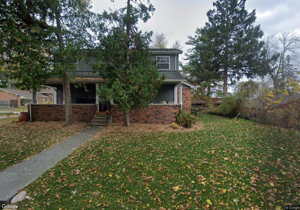
7220 2nd St West Bloomfield, MI 48324
Estimated Value: $318,186 - $380,000
2
Beds
2
Baths
1,783
Sq Ft
$201/Sq Ft
Est. Value
About This Home
This home is located at 7220 2nd St, West Bloomfield, MI 48324 and is currently estimated at $357,797, approximately $200 per square foot. 7220 2nd St is a home located in Oakland County with nearby schools including Clifford H. Smart Middle School, Walled Lake Northern High School, and Our Lady Of Refuge School.
Ownership History
Date
Name
Owned For
Owner Type
Purchase Details
Closed on
Mar 11, 2024
Sold by
Vansickle Michael
Bought by
Vansickle Michael and Vansickle Megan
Current Estimated Value
Purchase Details
Closed on
Sep 30, 2005
Sold by
Taylor Elizabeth Lee and Hearing Nancy J
Bought by
Vansickle Michael
Home Financials for this Owner
Home Financials are based on the most recent Mortgage that was taken out on this home.
Original Mortgage
$89,600
Interest Rate
6.75%
Mortgage Type
New Conventional
Purchase Details
Closed on
Jul 25, 2000
Sold by
Taylor Elizabeth L
Bought by
Taylor Trust
Create a Home Valuation Report for This Property
The Home Valuation Report is an in-depth analysis detailing your home's value as well as a comparison with similar homes in the area
Home Values in the Area
Average Home Value in this Area
Purchase History
| Date | Buyer | Sale Price | Title Company |
|---|---|---|---|
| Vansickle Michael | -- | None Listed On Document | |
| Vansickle Michael | $112,000 | Residential Title Agency | |
| Taylor Trust | -- | -- |
Source: Public Records
Mortgage History
| Date | Status | Borrower | Loan Amount |
|---|---|---|---|
| Previous Owner | Vansickle Michael | $12,400 | |
| Previous Owner | Vansickle Michael | $89,600 |
Source: Public Records
Tax History Compared to Growth
Tax History
| Year | Tax Paid | Tax Assessment Tax Assessment Total Assessment is a certain percentage of the fair market value that is determined by local assessors to be the total taxable value of land and additions on the property. | Land | Improvement |
|---|---|---|---|---|
| 2024 | $1,872 | $155,950 | $0 | $0 |
| 2022 | $1,765 | $126,670 | $33,410 | $93,260 |
| 2021 | $2,907 | $118,490 | $0 | $0 |
| 2020 | $1,744 | $127,660 | $33,410 | $94,250 |
| 2018 | $2,826 | $121,530 | $22,270 | $99,260 |
| 2015 | -- | $86,980 | $0 | $0 |
| 2014 | -- | $80,910 | $0 | $0 |
| 2011 | -- | $75,610 | $0 | $0 |
Source: Public Records
Map
Nearby Homes
- 7260 Willow Oak Dr
- 7185 Aaronway Dr
- 7240 Aaronway Dr
- 2484 Horace St
- 2236 Locklin Ln
- 7304 Ilanaway Dr
- 2877 W Bloomfield Oaks Dr
- 2498 Sunset Terrace Ln
- 7110 Commerce Rd
- 3115 Westacres Dr
- 6726 Red Cedar Ln
- 7543 Greenway Ln
- 2841 Treyburn Ln
- 6620 Red Cedar Ln Unit 37
- Richfield Plan at Rosewood - Detached Ranch Condos
- 7607 Mapleton Ct
- 6289 Lindsay Ct
- 1701 Marylestone Dr
- 6258 Lindsay Ct
- 1644 Marylestone Dr