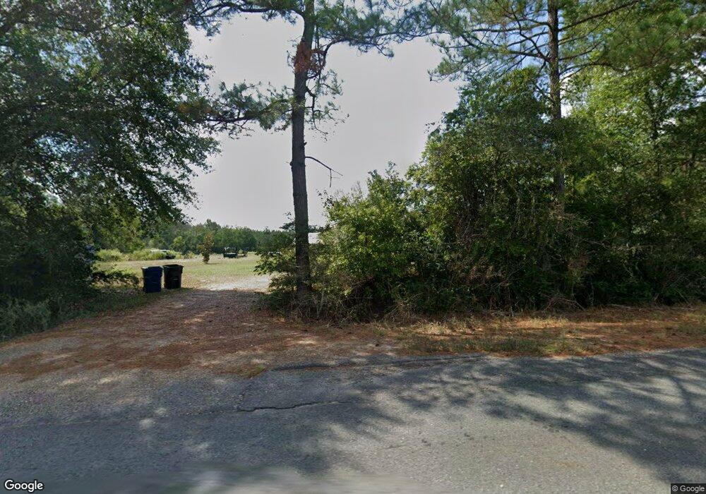
7220 Highway 394 Deridder, LA 70634
Estimated Value: $194,000 - $239,860
3
Beds
2
Baths
2,321
Sq Ft
$94/Sq Ft
Est. Value
About This Home
This home is located at 7220 Highway 394, Deridder, LA 70634 and is currently estimated at $218,715, approximately $94 per square foot. 7220 Highway 394 is a home located in Beauregard Parish with nearby schools including East Beauregard Elementary School.
Ownership History
Date
Name
Owned For
Owner Type
Purchase Details
Closed on
Jun 26, 2018
Sold by
Trahan Corey R and Trahan Katie L
Bought by
Sills Charles J and Sills Jessica
Current Estimated Value
Home Financials for this Owner
Home Financials are based on the most recent Mortgage that was taken out on this home.
Original Mortgage
$150,719
Outstanding Balance
$131,674
Interest Rate
4.87%
Mortgage Type
FHA
Estimated Equity
$87,041
Purchase Details
Closed on
Dec 8, 2014
Sold by
Johnson Kenneth Edward and Johnson Kayce Ann
Bought by
Trahan Corey R and Trahan Katie L
Home Financials for this Owner
Home Financials are based on the most recent Mortgage that was taken out on this home.
Original Mortgage
$147,959
Interest Rate
4.04%
Mortgage Type
New Conventional
Create a Home Valuation Report for This Property
The Home Valuation Report is an in-depth analysis detailing your home's value as well as a comparison with similar homes in the area
Home Values in the Area
Average Home Value in this Area
Purchase History
| Date | Buyer | Sale Price | Title Company |
|---|---|---|---|
| Sills Charles J | $153,500 | None Available | |
| Trahan Corey R | $145,000 | None Available |
Source: Public Records
Mortgage History
| Date | Status | Borrower | Loan Amount |
|---|---|---|---|
| Open | Sills Charles J | $150,719 | |
| Previous Owner | Trahan Corey R | $147,959 |
Source: Public Records
Tax History Compared to Growth
Tax History
| Year | Tax Paid | Tax Assessment Tax Assessment Total Assessment is a certain percentage of the fair market value that is determined by local assessors to be the total taxable value of land and additions on the property. | Land | Improvement |
|---|---|---|---|---|
| 2024 | $1,644 | $11,893 | $891 | $11,002 |
| 2023 | $1,562 | $11,051 | $631 | $10,420 |
| 2022 | $1,561 | $11,051 | $631 | $10,420 |
| 2021 | $1,561 | $11,051 | $631 | $10,420 |
| 2020 | $1,561 | $11,051 | $631 | $10,420 |
| 2019 | $1,560 | $11,056 | $636 | $10,420 |
| 2018 | $1,560 | $11,056 | $636 | $10,420 |
| 2017 | $1,560 | $11,056 | $636 | $10,420 |
| 2016 | $1,560 | $11,056 | $636 | $10,420 |
| 2015 | $479 | $11,052 | $632 | $10,420 |
| 2014 | $878 | $6,515 | $1,200 | $5,315 |
Source: Public Records
Map
Nearby Homes
- 289 Herman Yancey Rd Unit LotWP001
- 308 Woody Rd
- 1974 Joe Gray Rd
- 0 Greentown Rd Unit SWL25101413
- 0 Greentown Rd Unit 2524051
- 0 Greentown Rd Unit 18-6733
- 0 Greentown Rd Unit 57-103
- 0 Hwy 113 Hwy Unit 15-5009
- 8515 Louisiana 113
- 0 Longville Rd
- 0 Tbd Blanchard Rd
- 0 Morrow Bridge Rd Unit 44-171
- 0 Morrow Bridge Rd Unit SWL25002320
- 199 Henry Burnett Loop
- 0 Rd Unit 26-4859
- 0 Lot 30 Dr Brown Rd Unit 26-4855
- 0 Lot 28 Dr Brown Rd Unit 26-4857
- 0 Green Dr
- 0 Doctor Brown Rd
- 4552 Longville Rd
- 7220 State Route 394
- 7200 Highway 394
- 7200 State Route 394
- 7392 Highway 394
- 7396 Highway 394
- 6847 Highway 394
- 6973 Highway 394
- 114 Landry Bailey Rd
- 375 Greentown Cutoff Rd
- 392 Tunks Rd
- 6877 Highway 394
- 240 Landry Bailey Rd
- 6896 Highway 394
- 378 Tunks Rd
- 412 Tunks Rd
- 141 Thomas Gray Rd
- 288 Landry Bailey Rd
- 193 Thomas Gray Rd
- 221 Thomas Gray Rd
- 221 Thomas Gray Rd
