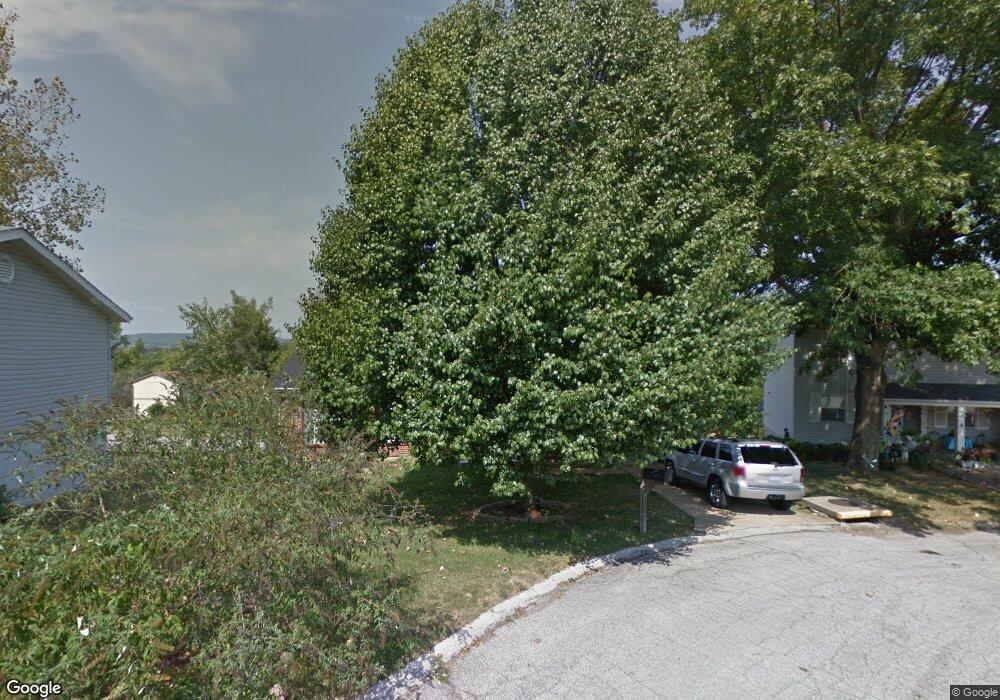
7221 Adams Ct Barnhart, MO 63012
Estimated Value: $205,383 - $224,000
--
Bed
1
Bath
1,040
Sq Ft
$207/Sq Ft
Est. Value
About This Home
This home is located at 7221 Adams Ct, Barnhart, MO 63012 and is currently estimated at $215,096, approximately $206 per square foot. 7221 Adams Ct is a home located in Jefferson County with nearby schools including Windsor High School and St. Joseph Catholic School.
Ownership History
Date
Name
Owned For
Owner Type
Purchase Details
Closed on
May 11, 2001
Sold by
Holdenried Kay M and Holdenried Kay M
Bought by
Walker Gregory J and Walker Kathryn M
Current Estimated Value
Home Financials for this Owner
Home Financials are based on the most recent Mortgage that was taken out on this home.
Original Mortgage
$96,900
Outstanding Balance
$36,075
Interest Rate
6.99%
Estimated Equity
$179,021
Create a Home Valuation Report for This Property
The Home Valuation Report is an in-depth analysis detailing your home's value as well as a comparison with similar homes in the area
Home Values in the Area
Average Home Value in this Area
Purchase History
| Date | Buyer | Sale Price | Title Company |
|---|---|---|---|
| Walker Gregory J | $96,900 | Old Republic Title Company |
Source: Public Records
Mortgage History
| Date | Status | Borrower | Loan Amount |
|---|---|---|---|
| Open | Walker Gregory J | $96,900 |
Source: Public Records
Tax History Compared to Growth
Tax History
| Year | Tax Paid | Tax Assessment Tax Assessment Total Assessment is a certain percentage of the fair market value that is determined by local assessors to be the total taxable value of land and additions on the property. | Land | Improvement |
|---|---|---|---|---|
| 2025 | $1,356 | $21,000 | $5,000 | $16,000 |
| 2024 | $1,356 | $18,500 | $4,000 | $14,500 |
| 2023 | $1,356 | $18,500 | $4,000 | $14,500 |
| 2022 | $1,199 | $16,400 | $1,900 | $14,500 |
| 2021 | $1,200 | $16,400 | $1,900 | $14,500 |
| 2020 | $1,109 | $14,700 | $1,600 | $13,100 |
| 2019 | $1,107 | $14,700 | $1,600 | $13,100 |
| 2018 | $1,085 | $14,600 | $1,600 | $13,000 |
| 2017 | $1,044 | $14,600 | $1,600 | $13,000 |
| 2016 | $961 | $13,400 | $1,700 | $11,700 |
| 2015 | $959 | $13,400 | $1,700 | $11,700 |
| 2013 | -- | $13,100 | $1,700 | $11,400 |
Source: Public Records
Map
Nearby Homes
- 7013 Wayles Dr
- 7056 Albermarle Ct
- 1728 Fairfax Dr
- 7062 Tuckahoe Ct
- 7255 Meriwether Ct
- 7009 Albermarle Ct
- 7098 Ridge Dr
- 7075 Metropolitan Blvd
- 1670 Clover Ct
- 1022 Graystone Park
- 0 Hwy Mm Unit MAR24032005
- 2090 Birchwood Dr
- 6788 Haven Hill Rd
- 2030 Engle Ridge Rd
- 0 New Highway M Unit MAR25024234
- 1675 Old State Road M
- 6625 Dry Creek Rd
- 0 Highland Terrace
- 6 Huntleigh Woods
- 6555 Pauline Ct
- 7211 Adams Ct
- 7255 Adams Ct
- 7201 Adams Ct
- 1797 Dandridge Ln
- 7210 Adams Ct
- 7202 Adams Ct
- 1795 Dandridge Ln
- 7068 Dandridge Way
- 1793 Dandridge Ln
- 7061 Dandridge Way
- 1791 Dandridge Ln
- 1818 Dandridge Dr
- 7054 Dandridge Way
- 1848 Dandridge Ct
- 7283 Burwell Ln
- 1862 Dandridge Ct
- 7050 Dandridge Way
- 1789 Dandridge Ln
- 7135 Wayles Dr
- 1816 Dandridge Dr