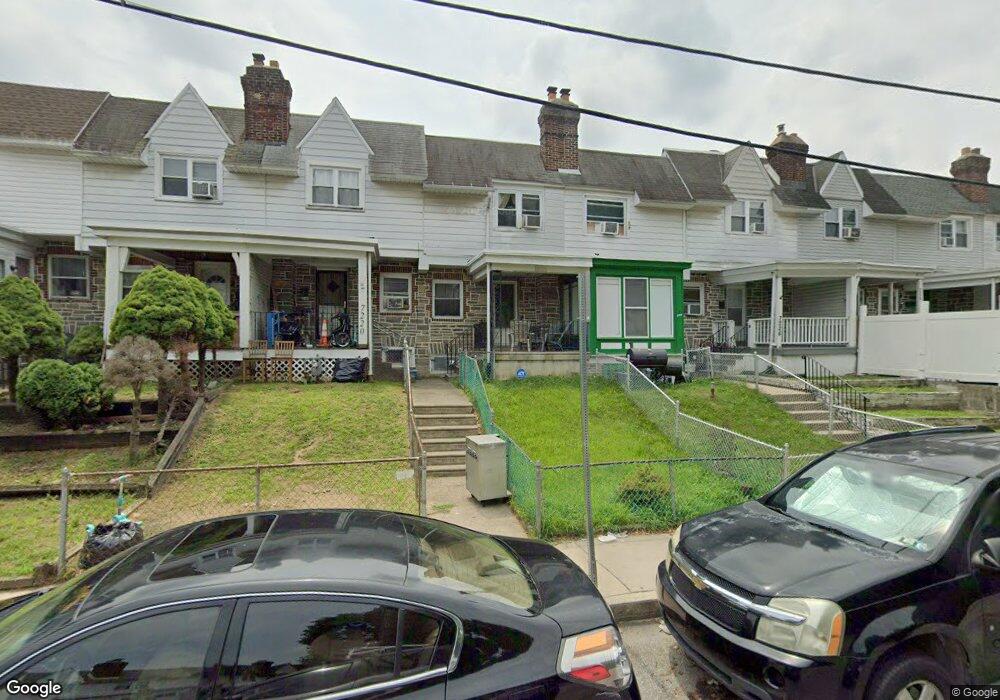
7222 Lamport Rd Upper Darby, PA 19082
Estimated Value: $124,000 - $158,000
3
Beds
1
Bath
1,110
Sq Ft
$130/Sq Ft
Est. Value
About This Home
This home is located at 7222 Lamport Rd, Upper Darby, PA 19082 and is currently estimated at $144,147, approximately $129 per square foot. 7222 Lamport Rd is a home located in Delaware County with nearby schools including Upper Darby High School, Vision Academy Charter School, and Lansdowne Friends School.
Ownership History
Date
Name
Owned For
Owner Type
Purchase Details
Closed on
May 7, 2021
Sold by
Owens Glendon M
Bought by
Owens Glendon M and Goin Lisa Anne
Current Estimated Value
Purchase Details
Closed on
Mar 30, 2017
Sold by
Fisher George and Fisher Karen
Bought by
Owens Glendon M
Purchase Details
Closed on
Oct 31, 2013
Sold by
Lee William H and Estate Of Shirley Ann Lee
Bought by
Fisher George and Fisher Karen
Create a Home Valuation Report for This Property
The Home Valuation Report is an in-depth analysis detailing your home's value as well as a comparison with similar homes in the area
Home Values in the Area
Average Home Value in this Area
Purchase History
| Date | Buyer | Sale Price | Title Company |
|---|---|---|---|
| Owens Glendon M | -- | None Available | |
| Owens Glendon M | $55,000 | None Available | |
| Fisher George | $17,000 | None Available |
Source: Public Records
Tax History Compared to Growth
Tax History
| Year | Tax Paid | Tax Assessment Tax Assessment Total Assessment is a certain percentage of the fair market value that is determined by local assessors to be the total taxable value of land and additions on the property. | Land | Improvement |
|---|---|---|---|---|
| 2025 | $2,750 | $65,030 | $13,430 | $51,600 |
| 2024 | $2,750 | $65,030 | $13,430 | $51,600 |
| 2023 | $2,724 | $65,030 | $13,430 | $51,600 |
| 2022 | $2,651 | $65,030 | $13,430 | $51,600 |
| 2021 | $3,575 | $65,030 | $13,430 | $51,600 |
| 2020 | $2,765 | $42,740 | $12,210 | $30,530 |
| 2019 | $2,716 | $42,740 | $12,210 | $30,530 |
| 2018 | $2,685 | $42,740 | $0 | $0 |
| 2017 | $2,615 | $42,740 | $0 | $0 |
| 2016 | $239 | $42,740 | $0 | $0 |
| 2015 | $239 | $42,740 | $0 | $0 |
| 2014 | $235 | $42,740 | $0 | $0 |
Source: Public Records
Map
Nearby Homes
- 7229 Clinton Rd
- 7216 Clinton Rd
- 669 Long Ln
- 404 Croyden Rd
- 607 Littlecroft Rd
- 7247 Guilford Rd
- 7155 Radbourne Rd
- 726 Copley Rd
- 7162 Radbourne Rd
- 7181 Ruskin Ln
- 7042 Clinton Rd
- 535 Glendale Rd
- 346 Long Ln
- 6997 Guilford Rd
- 506 Hampden Rd
- 243 Coverly Rd
- 7129 Seaford Rd
- 433 Copley Rd
- 7123 Seaford Rd
- 432 Grace Rd
- 7224 Lamport Rd
- 7218 Lamport Rd
- 7226 Lamport Rd
- 7228 Lamport Rd
- 7216 Lamport Rd
- 7230 Lamport Rd
- 7214 Lamport Rd
- 7232 Lamport Rd
- 7212 Lamport Rd
- 7217 Glenthorne Rd
- 7219 Glenthorne Rd
- 7215 Glenthorne Rd
- 7221 Glenthorne Rd
- 7213 Glenthorne Rd
- 7234 Lamport Rd
- 7223 Glenthorne Rd
- 7211 Glenthorne Rd
- 7225 Glenthorne Rd
- 7210 Lamport Rd
- 7236 Lamport Rd