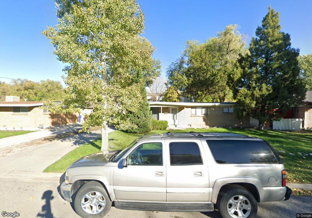
7223 Pearl Cir Midvale, UT 84047
Estimated Value: $422,000 - $519,000
3
Beds
2
Baths
1,125
Sq Ft
$413/Sq Ft
Est. Value
About This Home
This home is located at 7223 Pearl Cir, Midvale, UT 84047 and is currently estimated at $464,158, approximately $412 per square foot. 7223 Pearl Cir is a home located in Salt Lake County with nearby schools including Midvalley Elementary School, Hillcrest High School, and Midvale Middle School.
Ownership History
Date
Name
Owned For
Owner Type
Purchase Details
Closed on
Jan 23, 2025
Sold by
Norton Bruce G
Bought by
Bruce Norton Revocable Trust and Norton
Current Estimated Value
Purchase Details
Closed on
May 22, 2009
Sold by
Norton Carla R
Bought by
Norton Bruce G
Purchase Details
Closed on
Dec 1, 1998
Sold by
Beuch Otto E and Beuch Elsie A
Bought by
Midvale City Corp
Purchase Details
Closed on
Dec 30, 1997
Sold by
Lundberg Kenneth R and Lundberg Ann L
Bought by
Norton Bruce G
Create a Home Valuation Report for This Property
The Home Valuation Report is an in-depth analysis detailing your home's value as well as a comparison with similar homes in the area
Home Values in the Area
Average Home Value in this Area
Purchase History
| Date | Buyer | Sale Price | Title Company |
|---|---|---|---|
| Bruce Norton Revocable Trust | -- | None Listed On Document | |
| Bruce Norton Revocable Trust | -- | None Listed On Document | |
| Norton Bruce G | -- | None Available | |
| Midvale City Corp | -- | -- | |
| Norton Bruce G | -- | -- |
Source: Public Records
Tax History
| Year | Tax Paid | Tax Assessment Tax Assessment Total Assessment is a certain percentage of the fair market value that is determined by local assessors to be the total taxable value of land and additions on the property. | Land | Improvement |
|---|---|---|---|---|
| 2025 | $2,064 | $362,200 | $156,600 | $205,600 |
| 2024 | $2,064 | $338,900 | $147,000 | $191,900 |
| 2023 | $2,090 | $340,000 | $139,800 | $200,200 |
| 2022 | $2,215 | $352,000 | $137,100 | $214,900 |
| 2021 | $1,971 | $267,800 | $137,100 | $130,700 |
| 2020 | $2,138 | $240,000 | $91,500 | $148,500 |
| 2019 | $1,761 | $220,600 | $86,300 | $134,300 |
| 2018 | $1,865 | $206,100 | $86,300 | $119,800 |
| 2017 | $1,751 | $184,400 | $86,300 | $98,100 |
| 2016 | $1,377 | $162,600 | $86,300 | $76,300 |
| 2015 | $1,391 | $144,400 | $83,800 | $60,600 |
| 2014 | $1,356 | $137,100 | $81,200 | $55,900 |
Source: Public Records
Map
Nearby Homes
- 7240 S 525 E Unit A
- 7240 S 525 E Unit B
- 7187 S 420 E
- 7230 S 525 E Unit A
- 7230 S 525 E Unit B
- 7230 S 525 E
- 529 E 7215 S Unit 9
- 7299 S 525 E
- 7255 S 525 E
- 7218 S Viansa Ct
- 7309 S Union Village Cir
- 7045 S 300 E
- 7083 Village Place
- 221 E Fort Union Blvd
- 6969 S Free Land Ave
- 734 E Bogart Ln Unit 108
- 195 E 7060 S
- 6874 S 595 E Unit 66
- 7222 S 160 E Unit 3
- 7214 S 160 E
- 472 7200 S
- 7233 Pearl Cir
- 7213 S Pearl Cir
- 7213 Pearl Cir
- 472 E Fort Union Blvd
- 472 Fort Union Blvd
- 7241 Pearl Cir
- 7214 Pearl Cir
- 7214 S Pearl Cir
- 7230 Pearl Cir
- 500 Fort Union Blvd
- 500 E Fort Union Blvd
- 7249 S Pearl Cir
- 7249 Pearl Cir
- 432 Fort Union Blvd
- 432 E Fort Union Blvd
- 7240 Pearl Cir
- 502 Fort Union Blvd
- 502 E Fort Union Blvd
- 420 Fort Union Blvd
Your Personal Tour Guide
Ask me questions while you tour the home.