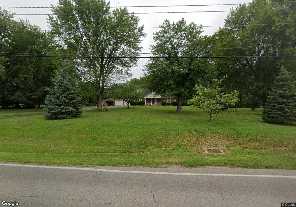
7225 Lesourdsville West Chester Rd West Chester, OH 45069
West Chester Township NeighborhoodEstimated Value: $392,000 - $431,737
3
Beds
2
Baths
1,800
Sq Ft
$229/Sq Ft
Est. Value
About This Home
This home is located at 7225 Lesourdsville West Chester Rd, West Chester, OH 45069 and is currently estimated at $412,184, approximately $228 per square foot. 7225 Lesourdsville West Chester Rd is a home located in Butler County with nearby schools including Freedom Elementary School, Lakota Ridge Junior School, and Lakota West High School.
Ownership History
Date
Name
Owned For
Owner Type
Purchase Details
Closed on
Jul 12, 2017
Sold by
Estate Of John H Richardson
Bought by
Richardson Mary L
Current Estimated Value
Create a Home Valuation Report for This Property
The Home Valuation Report is an in-depth analysis detailing your home's value as well as a comparison with similar homes in the area
Home Values in the Area
Average Home Value in this Area
Purchase History
| Date | Buyer | Sale Price | Title Company |
|---|---|---|---|
| Richardson Mary L | -- | None Available |
Source: Public Records
Tax History Compared to Growth
Tax History
| Year | Tax Paid | Tax Assessment Tax Assessment Total Assessment is a certain percentage of the fair market value that is determined by local assessors to be the total taxable value of land and additions on the property. | Land | Improvement |
|---|---|---|---|---|
| 2024 | $4,528 | $118,760 | $32,550 | $86,210 |
| 2023 | $4,509 | $118,760 | $32,550 | $86,210 |
| 2022 | $4,287 | $86,100 | $32,550 | $53,550 |
| 2021 | $3,968 | $83,550 | $32,550 | $51,000 |
| 2020 | $4,063 | $83,550 | $32,550 | $51,000 |
| 2019 | $7,064 | $73,710 | $32,550 | $41,160 |
| 2018 | $3,705 | $73,710 | $32,550 | $41,160 |
| 2017 | $3,771 | $73,710 | $32,550 | $41,160 |
| 2016 | $3,564 | $66,500 | $32,550 | $33,950 |
| 2015 | $3,556 | $66,500 | $32,550 | $33,950 |
| 2014 | $4,261 | $66,500 | $32,550 | $33,950 |
| 2013 | $4,261 | $76,070 | $31,150 | $44,920 |
Source: Public Records
Map
Nearby Homes
- 5981 Birkdale Dr
- 7281 Cinnamon Woods Dr
- 6038 Glennsbury Ct
- 5716 E Senour Dr
- 5677 E Senour Dr
- 5663 E Senour Dr
- 5577 Dove Ln
- 7644 Eleventh Hour Ln
- 7628 Lesourdsville West Chester Rd
- 7534 Galway Ct
- 6168 Juneberry Ct
- 7690 Wharton Ct
- 5856 Ferdinand Dr
- 7078 Lakota Ridge Dr
- 7712 Whitehall Cir E
- 7420 Kennesaw Dr
- 6335 Dewberry Ct
- 6084 Tylersville Rd
- 6696 Raven Crest
- 7717 Whitehall Cir W
- 5928 Glenngate Ct
- 5935 Glenngate Ct
- 5883 Hamilton Mason Rd
- 7271 Lesourdsville West Chester Rd
- 7271 Lesourdsvll W Chest Rd
- 5938 Glenngate Ct
- 5863 Hamilton Mason Rd
- 5 Glen Trace Ln
- 5945 Glenngate Ct
- 5948 Glenngate Ct
- 5878 Hamilton Mason Rd
- 5955 Glenngate Ct
- 5841 Hamilton Mason Rd
- 5958 Glenngate Ct
- 5966 Glen Trace Ln
- 7313 Lesourdsvll W Chest Rd
- 5968 Glenngate Ct
- 5957 Glen Trace Ln
- 5975 Glenngate Ct
- 7313 Lesourdsville West Chester Rd