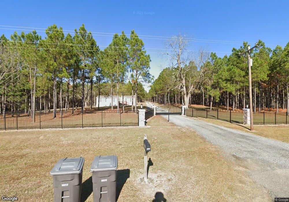
Estimated Value: $194,000
8
Beds
7
Baths
2,200
Sq Ft
$88/Sq Ft
Est. Value
About This Home
This home is located at 7226 Ga Highway 215, Pitts, GA 31072 and is currently estimated at $194,000, approximately $88 per square foot. 7226 Ga Highway 215 is a home located in Wilcox County with nearby schools including Wilcox County Elementary School, Wilcox County Middle School, and Wilcox County High School.
Ownership History
Date
Name
Owned For
Owner Type
Purchase Details
Closed on
Oct 19, 2015
Sold by
Wooten James K
Bought by
Big Country Acres Llc
Current Estimated Value
Purchase Details
Closed on
Apr 17, 2009
Sold by
Wooten James K
Bought by
Nipper Billy Wayne
Purchase Details
Closed on
Jun 4, 2004
Sold by
Wooten James K
Bought by
Wooten James K and Wooten Angela L Wooten
Purchase Details
Closed on
May 23, 2002
Sold by
Callihan William G
Bought by
Wooten James K
Purchase Details
Closed on
Jul 10, 2001
Bought by
Southern Investments
Create a Home Valuation Report for This Property
The Home Valuation Report is an in-depth analysis detailing your home's value as well as a comparison with similar homes in the area
Home Values in the Area
Average Home Value in this Area
Purchase History
| Date | Buyer | Sale Price | Title Company |
|---|---|---|---|
| Big Country Acres Llc | $500,000 | -- | |
| Nipper Billy Wayne | $2,000 | -- | |
| Wooten James K | -- | -- | |
| Wooten James K | -- | -- | |
| Southern Investments | $95,000 | -- |
Source: Public Records
Tax History Compared to Growth
Tax History
| Year | Tax Paid | Tax Assessment Tax Assessment Total Assessment is a certain percentage of the fair market value that is determined by local assessors to be the total taxable value of land and additions on the property. | Land | Improvement |
|---|---|---|---|---|
| 2024 | $11,716 | $417,085 | $70,325 | $346,760 |
| 2023 | $3,398 | $143,987 | $70,325 | $73,662 |
| 2022 | $3,368 | $143,987 | $70,325 | $73,662 |
| 2021 | $3,333 | $143,987 | $70,325 | $73,662 |
| 2020 | $3,385 | $111,701 | $43,424 | $68,277 |
| 2019 | $3,352 | $111,666 | $43,424 | $68,242 |
| 2018 | $3,321 | $111,666 | $43,424 | $68,242 |
| 2017 | $3,319 | $111,666 | $43,424 | $68,242 |
| 2016 | -- | $111,666 | $43,424 | $68,242 |
| 2015 | -- | $102,573 | $43,424 | $59,149 |
| 2014 | -- | $92,767 | $33,618 | $59,149 |
| 2013 | -- | $44,200 | $33,618 | $10,582 |
Source: Public Records
Map
Nearby Homes
- 501 Cottonwood Rd
- 0 Barrentine Rd
- 00 Griffin Rd
- 0 Barentine Rd
- 595 Georgia 257
- 146 7th Ave W
- 1 Tippettville Rd
- 000 Brady Rd
- 337 Friendship Church Rd
- 0 Lois Rd
- 11157 Cannonville Rd
- 1 Acre Cannonville Rd
- 1088 Tippettville Rd
- 9782 Georgia 112
- 2.78 ACRES Pineway Hwy
- 0 Folds Rd Unit 22934248
- 0 Folds Rd Unit 11453576
- 00 Folds Rd
- 0 Folds Rd Unit 22934232
- 4065 Gordon Rd
- 7142 Ga Highway 215
- 7226 Ga Highway 215
- 160 Thompson Rd
- 90 Thompson Rd
- 6476 Ga Highway 215
- 210 Thompson Rd
- 227 Thompson Rd
- 6316 Georgia 215
- 6316 Ga Hwy 215
- 6316 Ga Highway 215
- 281 Thompson Rd
- 5129 Pearce Rd
- 5129 Pearce Rd
- 6034 Ga Highway 215
- 630 Thompson Rd
- 4929 Pearce Rd
- 0000 Hwy 215 N
- 775 Thompson Rd
- 4540 High Rocks Rd
- 52 Paramore Loop
