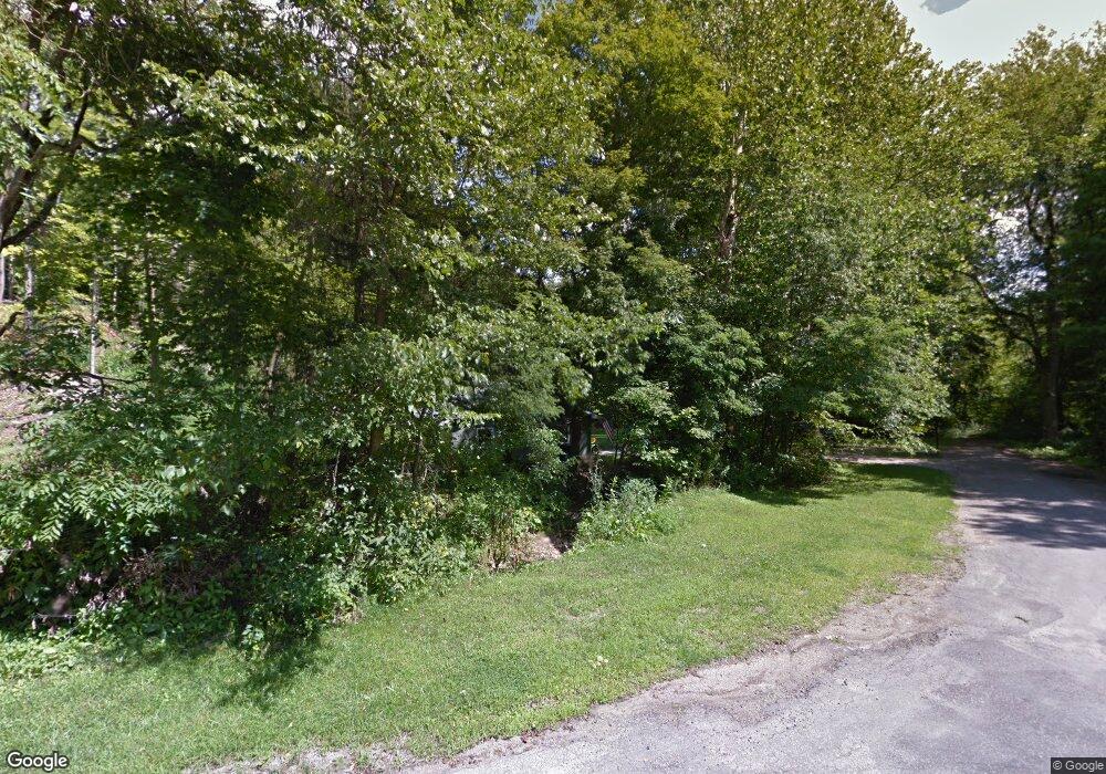
7226 Thompson Sharpsville Rd Fowler, OH 44418
Estimated Value: $111,000 - $191,000
3
Beds
1
Bath
1,184
Sq Ft
$126/Sq Ft
Est. Value
About This Home
This home is located at 7226 Thompson Sharpsville Rd, Fowler, OH 44418 and is currently estimated at $149,412, approximately $126 per square foot. 7226 Thompson Sharpsville Rd is a home located in Trumbull County with nearby schools including Badger Elementary School, Badger Middle School, and Badger High School.
Ownership History
Date
Name
Owned For
Owner Type
Purchase Details
Closed on
Aug 16, 2024
Sold by
Ritch Frank A and Ritch Christine J
Bought by
Ritch Frank A and Ritch Christine J
Current Estimated Value
Home Financials for this Owner
Home Financials are based on the most recent Mortgage that was taken out on this home.
Original Mortgage
$104,000
Outstanding Balance
$103,076
Interest Rate
8.5%
Mortgage Type
New Conventional
Estimated Equity
$46,336
Purchase Details
Closed on
Sep 12, 2001
Sold by
Sky Bank
Bought by
Ritch Frank A
Home Financials for this Owner
Home Financials are based on the most recent Mortgage that was taken out on this home.
Original Mortgage
$39,727
Interest Rate
7.03%
Mortgage Type
FHA
Purchase Details
Closed on
Jan 1, 1990
Bought by
Holly A Kirkland
Create a Home Valuation Report for This Property
The Home Valuation Report is an in-depth analysis detailing your home's value as well as a comparison with similar homes in the area
Home Values in the Area
Average Home Value in this Area
Purchase History
| Date | Buyer | Sale Price | Title Company |
|---|---|---|---|
| Ritch Frank A | -- | None Listed On Document | |
| Ritch Frank A | $40,350 | -- | |
| Holly A Kirkland | -- | -- |
Source: Public Records
Mortgage History
| Date | Status | Borrower | Loan Amount |
|---|---|---|---|
| Open | Ritch Frank A | $104,000 | |
| Previous Owner | Ritch Frank A | $39,727 |
Source: Public Records
Tax History Compared to Growth
Tax History
| Year | Tax Paid | Tax Assessment Tax Assessment Total Assessment is a certain percentage of the fair market value that is determined by local assessors to be the total taxable value of land and additions on the property. | Land | Improvement |
|---|---|---|---|---|
| 2024 | $1,668 | $37,980 | $4,590 | $33,390 |
| 2023 | $1,668 | $37,980 | $4,590 | $33,390 |
| 2022 | $1,441 | $29,650 | $4,170 | $25,480 |
| 2021 | $1,441 | $29,650 | $4,170 | $25,480 |
| 2020 | $1,451 | $29,650 | $4,170 | $25,480 |
| 2019 | $1,353 | $26,010 | $3,850 | $22,160 |
| 2018 | $1,355 | $26,010 | $3,850 | $22,160 |
| 2017 | $1,352 | $26,010 | $3,850 | $22,160 |
| 2016 | $1,248 | $24,150 | $3,850 | $20,300 |
| 2015 | $1,199 | $24,150 | $3,850 | $20,300 |
| 2014 | $1,199 | $24,150 | $3,850 | $20,300 |
| 2013 | $1,258 | $24,150 | $3,850 | $20,300 |
Source: Public Records
Map
Nearby Homes
- 7131 Drake Stateline Rd NE
- 7155 Drake State Line Rd
- 1921 Custer Orangeville Rd
- 7974 Thompson Sharpsville Rd
- 8038 Thompson Sharpsville Rd
- 1212 State Route 7 NE
- 8274 Thompson Sharpsville Rd
- 0 Albright McKay Rd NE
- 3164 Ohio 7
- 209 Wyngate Dr
- 2601 Orangeville Rd
- 2701 Orangeville Rd
- 718 State Route 7 NE
- 2486 Waynewood Dr NE
- 6333 Warren Sharon Rd
- 7091 Warren Sharon Rd
- 6984 Warren Sharon Rd
- 7086 Warren Sharon Rd
- 872 Yankee Run Rd
- 6130 Warren Sharon Rd
- 9999 King Graves Rd
- 7296 Thompson Sharpsville Rd
- 2061 State Route 7
- 7237 Thompson Sharpsville Rd
- 7243 Thompson Sharpsville Rd
- 7450 Thompson Sharpsville Rd
- 7249 Thompson Sharpsville Rd
- 7311 Thompson Sharpsville Rd
- 1995 State Route 7
- 7344 Thompson Sharpsville Rd NE
- 2026 State Route 7
- 2135 State Route 7
- 7356 Thompson Sharpsville Rd NE
- 2107 Deer Haven Trail
- 2002 State Route 7
- 7370 Thompson Sharpsville Rd NE
- 1982 State Route 7
- 2013 King Graves
- 0 Ohio 7 Unit 1118073
- 0 Ohio 7 Unit 1118058
