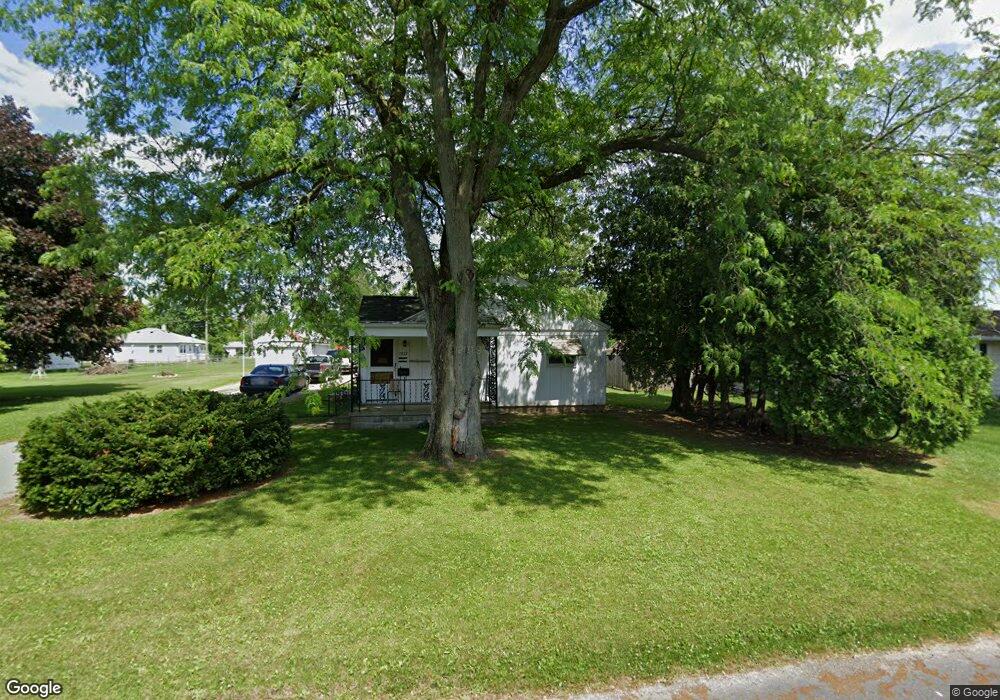
7227 Kumfer Ave Fort Wayne, IN 46809
Southwest Fort Wayne NeighborhoodEstimated Value: $142,000 - $170,107
2
Beds
1
Bath
1,120
Sq Ft
$140/Sq Ft
Est. Value
About This Home
This home is located at 7227 Kumfer Ave, Fort Wayne, IN 46809 and is currently estimated at $156,777, approximately $139 per square foot. 7227 Kumfer Ave is a home located in Allen County with nearby schools including Waynedale Elementary School, Portage Middle School, and Wayne High School.
Ownership History
Date
Name
Owned For
Owner Type
Purchase Details
Closed on
Sep 27, 2023
Sold by
Coe Roger A and Coe Patricia A
Bought by
Golden Charles J
Current Estimated Value
Purchase Details
Closed on
Sep 8, 2023
Sold by
Coe Roger A and Coe Patricia A
Bought by
Golden Charles J
Purchase Details
Closed on
Sep 29, 2017
Sold by
Jean Coe Connie
Bought by
Patricia Coe
Purchase Details
Closed on
Jun 17, 2010
Sold by
Spaw Larry L and Spaw Mervin G
Bought by
Coe Robert D
Home Financials for this Owner
Home Financials are based on the most recent Mortgage that was taken out on this home.
Original Mortgage
$44,800
Interest Rate
4.5%
Mortgage Type
New Conventional
Purchase Details
Closed on
Aug 11, 2009
Sold by
Spaw Melvin O
Bought by
Spaw Melvin O and Spaw Larry L
Create a Home Valuation Report for This Property
The Home Valuation Report is an in-depth analysis detailing your home's value as well as a comparison with similar homes in the area
Home Values in the Area
Average Home Value in this Area
Purchase History
| Date | Buyer | Sale Price | Title Company |
|---|---|---|---|
| Golden Charles J | $55,700 | None Listed On Document | |
| Golden Charles J | -- | None Listed On Document | |
| Patricia Coe | $28,000 | -- | |
| Coe Roger A | $28,000 | Wray Law Office | |
| Coe Robert D | -- | Lawyers Title | |
| Spaw Melvin O | -- | None Available |
Source: Public Records
Mortgage History
| Date | Status | Borrower | Loan Amount |
|---|---|---|---|
| Previous Owner | Coe Robert D | $44,800 |
Source: Public Records
Tax History
| Year | Tax Paid | Tax Assessment Tax Assessment Total Assessment is a certain percentage of the fair market value that is determined by local assessors to be the total taxable value of land and additions on the property. | Land | Improvement |
|---|---|---|---|---|
| 2025 | $975 | $147,900 | $25,900 | $122,000 |
| 2024 | $937 | $111,100 | $25,900 | $85,200 |
| 2022 | $1,052 | $46,800 | $8,600 | $38,200 |
| 2021 | $1,127 | $50,300 | $8,200 | $42,100 |
| 2020 | $1,246 | $56,700 | $10,300 | $46,400 |
| 2019 | $887 | $40,500 | $7,300 | $33,200 |
| 2018 | $606 | $27,400 | $5,600 | $21,800 |
| 2017 | $593 | $26,600 | $5,800 | $20,800 |
| 2016 | $582 | $26,500 | $6,300 | $20,200 |
| 2014 | $621 | $29,900 | $6,100 | $23,800 |
| 2013 | $675 | $32,500 | $6,700 | $25,800 |
Source: Public Records
Map
Nearby Homes
- 7407 Baer Rd
- 7101 Baer Rd
- 3325 Lower Huntington Rd
- 7302 Bradbury Ave
- 7309 Bradbury Ave
- 2600 Blk Timbers Dr
- 7016 Beaty Ave
- 6612 Bradbury Ave
- 2605 Westward Dr
- 2710 Waynewood Dr
- 2807 Witchwood Dr
- 4435 Lower Huntington Rd
- 7308 Clemson Dr
- 2515 Fairoak Dr
- 2707 Prairie Grove Dr
- 2215 Saint Louis Ave
- 1922 Legoma Dr
- 97?? Bluffton Rd
- 2621 Belle Vista Blvd
- 7412 Avalon Dr
Your Personal Tour Guide
Ask me questions while you tour the home.