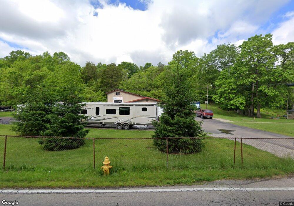
7227 Taylor Rd Cincinnati, OH 45248
Estimated Value: $201,550 - $234,000
3
Beds
1
Bath
1,245
Sq Ft
$175/Sq Ft
Est. Value
About This Home
This home is located at 7227 Taylor Rd, Cincinnati, OH 45248 and is currently estimated at $218,388, approximately $175 per square foot. 7227 Taylor Rd is a home located in Hamilton County with nearby schools including John Foster Dulles Elementary School, Rapid Run Middle School, and Oak Hills High School.
Ownership History
Date
Name
Owned For
Owner Type
Purchase Details
Closed on
Jun 7, 2022
Sold by
St Clair Trust
Bought by
Ivey Terry A and Fricke Stephen R
Current Estimated Value
Purchase Details
Closed on
Dec 20, 2004
Sold by
St Clair Edward J and St Clair Mary A
Bought by
St Clair Edward J and St Clair Mary Anne
Purchase Details
Closed on
Feb 5, 1998
Sold by
Spivey Ronald J
Bought by
Brunemann Robert W
Purchase Details
Closed on
Jan 26, 1998
Sold by
Spivey Ronald J
Bought by
Mack Church Of Christ
Create a Home Valuation Report for This Property
The Home Valuation Report is an in-depth analysis detailing your home's value as well as a comparison with similar homes in the area
Home Values in the Area
Average Home Value in this Area
Purchase History
| Date | Buyer | Sale Price | Title Company |
|---|---|---|---|
| Ivey Terry A | -- | Fletcher Michael C | |
| Ivey Terry A | -- | None Listed On Document | |
| St Clair Edward J | -- | None Available | |
| Brunemann Robert W | $65,000 | -- | |
| St Clair Edward J | $65,000 | -- | |
| Mack Church Of Christ | -- | -- |
Source: Public Records
Tax History
| Year | Tax Paid | Tax Assessment Tax Assessment Total Assessment is a certain percentage of the fair market value that is determined by local assessors to be the total taxable value of land and additions on the property. | Land | Improvement |
|---|---|---|---|---|
| 2025 | $2,787 | $52,501 | $43,740 | $8,761 |
| 2024 | $2,762 | $52,501 | $43,740 | $8,761 |
| 2023 | $2,735 | $52,501 | $43,740 | $8,761 |
| 2022 | $3,194 | $51,482 | $42,301 | $9,181 |
| 2021 | $2,935 | $51,482 | $42,301 | $9,181 |
| 2020 | $2,901 | $51,482 | $42,301 | $9,181 |
| 2019 | $2,853 | $45,966 | $37,769 | $8,197 |
| 2018 | $2,855 | $45,966 | $37,769 | $8,197 |
| 2017 | $2,728 | $45,966 | $37,769 | $8,197 |
| 2016 | $2,408 | $40,058 | $35,879 | $4,179 |
| 2015 | $2,397 | $40,058 | $35,879 | $4,179 |
| 2014 | $2,396 | $40,058 | $35,879 | $4,179 |
| 2013 | $2,362 | $42,169 | $37,769 | $4,400 |
Source: Public Records
Map
Nearby Homes
- 7072 Wesselman Rd
- 7104 Wesselman Rd
- 5042 Greenshire Dr
- 6981 Saint Helens Ct
- 10 Priya Place
- 6880 Rackview Rd
- 6903 Taylor Rd
- 7650 Dog Trot Rd
- 6793 Jennifer Lynn Dr
- 5017 Zion Rd
- 7634 Bridgetown Rd
- 3105 Laurel Hill Ln
- 3108 Laurel Hill Ln
- 6864 Ruwes Oak Dr
- 5703 Irwin Dr
- 5779 Irwin Dr
- 5771 Irwin Dr
- 5767 Irwin Dr
- 8134 Jordan Valley Ct
- 5310 Rybolt Rd
- 7199 Taylor Rd
- 7210 Taylor Rd
- 7019 Wesselman Rd
- 7208 Taylor Rd
- 7191 Taylor Rd
- 6921 Wesselman Rd
- 7175 Taylor Rd
- 7030 Wesselman Rd
- 7040 Wesselman Rd
- 16 Greenshire Commins
- 10 Greenshire
- Lot Greenshire Dr
- 16 Greenshire
- 15 Greenshire
- 11 Greenshire
- 18 Greenshire
- 13 Greenshire
- 6919 Wesselman Rd
- 7048 Wesselman Rd
- 4647 Schinkal Rd
Your Personal Tour Guide
Ask me questions while you tour the home.