7228 Litany Ct Flowery Branch, GA 30542
Estimated Value: $396,000 - $438,000
3
Beds
2
Baths
2,841
Sq Ft
$150/Sq Ft
Est. Value
About This Home
This home is located at 7228 Litany Ct, Flowery Branch, GA 30542 and is currently estimated at $425,967, approximately $149 per square foot. 7228 Litany Ct is a home located in Hall County with nearby schools including Spout Springs Elementary School, Cherokee Bluff Middle School, and Cherokee Bluff High School.
Ownership History
Date
Name
Owned For
Owner Type
Purchase Details
Closed on
Jul 23, 2014
Sold by
Beatty Monica
Bought by
Marlowe Courtney
Current Estimated Value
Purchase Details
Closed on
Oct 17, 2003
Sold by
Balata Development Corp The
Bought by
Jay Bullock Communities Inc
Purchase Details
Closed on
Mar 19, 2001
Sold by
Kelly Patricia C and Marie Mcclain
Bought by
Balata Development Corp The
Create a Home Valuation Report for This Property
The Home Valuation Report is an in-depth analysis detailing your home's value as well as a comparison with similar homes in the area
Home Values in the Area
Average Home Value in this Area
Purchase History
| Date | Buyer | Sale Price | Title Company |
|---|---|---|---|
| Marlowe Courtney | -- | -- | |
| Jay Bullock Communities Inc | $38,000 | -- | |
| Balata Development Corp The | $1,262,100 | -- |
Source: Public Records
Tax History Compared to Growth
Tax History
| Year | Tax Paid | Tax Assessment Tax Assessment Total Assessment is a certain percentage of the fair market value that is determined by local assessors to be the total taxable value of land and additions on the property. | Land | Improvement |
|---|---|---|---|---|
| 2024 | $4,342 | $170,160 | $37,080 | $133,080 |
| 2023 | $4,589 | $172,680 | $37,080 | $135,600 |
| 2022 | $3,373 | $125,520 | $26,360 | $99,160 |
| 2021 | $2,844 | $102,960 | $20,840 | $82,120 |
| 2020 | $2,560 | $89,480 | $12,080 | $77,400 |
| 2019 | $2,477 | $85,640 | $12,080 | $73,560 |
| 2018 | $2,625 | $88,160 | $12,080 | $76,080 |
| 2017 | $2,428 | $82,080 | $12,080 | $70,000 |
| 2016 | $2,064 | $70,760 | $12,080 | $58,680 |
| 2015 | $1,530 | $52,838 | $7,240 | $45,598 |
| 2014 | $1,530 | $52,838 | $7,240 | $45,598 |
Source: Public Records
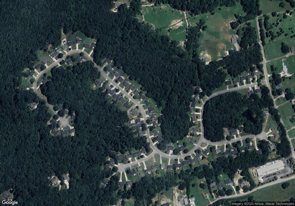
Map
Nearby Homes
- 7293 Litany Ct Unit 49
- 7293 Litany Ct
- 7282 Litany Ct
- 7012 Litany Ct
- 7005 Litany Ct
- 7464 Williams Rd
- 6985 Spout Springs Rd
- 7235 Coral Lake Dr
- 6707 Spring Head Dr
- 7272 Coral Lake Dr
- 7144 Maple Brook Ln
- 7201 Maple Brook Ln
- 7164 Maple Brook Ln
- 6739 Spring Head Dr
- 6996 Deaton Henry Rd
- 6311 Bent Oaks Ct
- 6622 Stag Leap Ln
- 7343 Peacebrook Dr