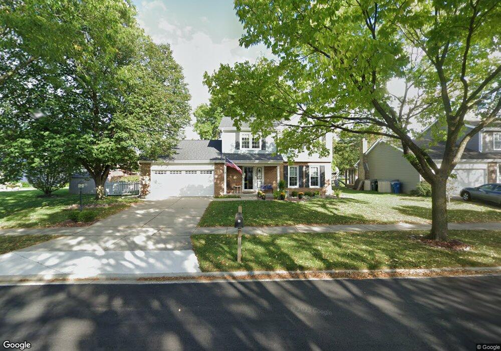
7229 Binder Rd Downers Grove, IL 60516
South Downers Grove NeighborhoodEstimated Value: $501,004 - $568,000
--
Bed
1
Bath
1,878
Sq Ft
$290/Sq Ft
Est. Value
About This Home
This home is located at 7229 Binder Rd, Downers Grove, IL 60516 and is currently estimated at $545,501, approximately $290 per square foot. 7229 Binder Rd is a home located in DuPage County with nearby schools including Kingsley Elementary School, O'Neill Middle School, and Downers Grove South High School.
Ownership History
Date
Name
Owned For
Owner Type
Purchase Details
Closed on
Jul 8, 1997
Sold by
Teah John B and Teah Marci G
Bought by
Stanger Daniel E and Stanger Debra L
Current Estimated Value
Home Financials for this Owner
Home Financials are based on the most recent Mortgage that was taken out on this home.
Original Mortgage
$123,000
Outstanding Balance
$18,112
Interest Rate
7.81%
Estimated Equity
$527,389
Create a Home Valuation Report for This Property
The Home Valuation Report is an in-depth analysis detailing your home's value as well as a comparison with similar homes in the area
Home Values in the Area
Average Home Value in this Area
Purchase History
| Date | Buyer | Sale Price | Title Company |
|---|---|---|---|
| Stanger Daniel E | $203,000 | Attorneys Title Guaranty Fun |
Source: Public Records
Mortgage History
| Date | Status | Borrower | Loan Amount |
|---|---|---|---|
| Open | Stanger Daniel E | $123,000 |
Source: Public Records
Tax History Compared to Growth
Tax History
| Year | Tax Paid | Tax Assessment Tax Assessment Total Assessment is a certain percentage of the fair market value that is determined by local assessors to be the total taxable value of land and additions on the property. | Land | Improvement |
|---|---|---|---|---|
| 2024 | $8,113 | $149,703 | $49,897 | $99,806 |
| 2023 | $7,705 | $137,620 | $45,870 | $91,750 |
| 2022 | $7,391 | $131,580 | $43,860 | $87,720 |
| 2021 | $6,917 | $130,080 | $43,360 | $86,720 |
| 2020 | $6,788 | $127,500 | $42,500 | $85,000 |
| 2019 | $6,570 | $122,340 | $40,780 | $81,560 |
| 2018 | $6,439 | $118,660 | $40,530 | $78,130 |
| 2017 | $6,232 | $114,180 | $39,000 | $75,180 |
| 2016 | $6,107 | $108,970 | $37,220 | $71,750 |
| 2015 | $6,104 | $103,600 | $35,020 | $68,580 |
| 2014 | $6,106 | $100,730 | $34,050 | $66,680 |
| 2013 | $5,982 | $100,260 | $33,890 | $66,370 |
Source: Public Records
Map
Nearby Homes
- Lot 006 Woodward Ave
- 7020 Sussex Ct Unit 203
- 7050 Brighton Ct Unit 204
- 7000 Sussex Ct Unit 204
- 7123 Dunham Rd
- 7127 Dunham Rd
- 6803 Penner Place
- 1906 Concord Dr
- 7020 Andover Ct Unit 102
- 6819 Prairieview Ave
- 2100 Country Club Dr Unit 206E
- 7205 Kidwell Rd
- 7625 Dunham Rd
- 2032 Wheeler St
- 2214 Country Club Dr Unit 2
- 6820 Barrett St
- 2302 Dalewood Pkwy
- 7129 Matthias Rd
- 7125 Matthias Rd
- 2435 Brunswick Cir Unit D
- 7233 Binder Rd
- 1721 Hawkins Ave Unit 6
- 1716 White Place
- 7301 Binder Rd
- 1717 Hawkins Ave
- 1712 White Place
- 1717 White Place
- 7232 Binder Rd
- 7228 Binder Rd
- 1713 Hawkins Ave
- 7305 Binder Rd
- 7236 Binder Rd
- 7222 Binder Rd
- 1713 White Place
- 7302 Binder Rd
- 7218 Binder Rd
- 1726 Hawkins Ave
- 1722 Hawkins Ave
- 1709 Hawkins Ave
- 1730 Hawkins Ave