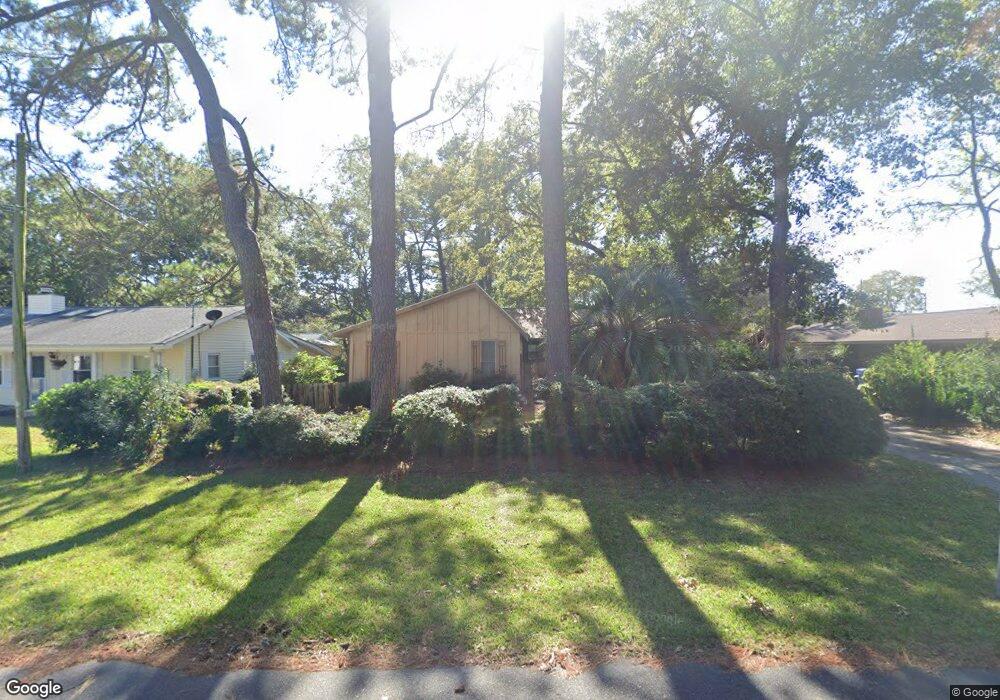
723 9th Ave S Unit SB Surfside Beach, SC 29575
Estimated Value: $427,000 - $523,000
3
Beds
2
Baths
1,608
Sq Ft
$301/Sq Ft
Est. Value
About This Home
This home is located at 723 9th Ave S Unit SB, Surfside Beach, SC 29575 and is currently estimated at $484,626, approximately $301 per square foot. 723 9th Ave S Unit SB is a home located in Horry County with nearby schools including Seaside Elementary, St. James Intermediate, and St. James Middle School.
Ownership History
Date
Name
Owned For
Owner Type
Purchase Details
Closed on
Jun 27, 2003
Sold by
Ford Robert E and Ford Maryann
Bought by
Fultineer David A and Fultineer Helen
Current Estimated Value
Home Financials for this Owner
Home Financials are based on the most recent Mortgage that was taken out on this home.
Original Mortgage
$7,900
Interest Rate
5.29%
Mortgage Type
Unknown
Create a Home Valuation Report for This Property
The Home Valuation Report is an in-depth analysis detailing your home's value as well as a comparison with similar homes in the area
Home Values in the Area
Average Home Value in this Area
Purchase History
| Date | Buyer | Sale Price | Title Company |
|---|---|---|---|
| Fultineer David A | $154,500 | -- |
Source: Public Records
Mortgage History
| Date | Status | Borrower | Loan Amount |
|---|---|---|---|
| Closed | Fultineer David A | $7,900 | |
| Open | Fultineer David A | $123,600 |
Source: Public Records
Tax History Compared to Growth
Tax History
| Year | Tax Paid | Tax Assessment Tax Assessment Total Assessment is a certain percentage of the fair market value that is determined by local assessors to be the total taxable value of land and additions on the property. | Land | Improvement |
|---|---|---|---|---|
| 2024 | $1,131 | $16,977 | $11,530 | $5,447 |
| 2023 | $1,131 | $8,675 | $4,751 | $3,924 |
| 2021 | $1,004 | $10,645 | $6,721 | $3,924 |
| 2020 | $982 | $10,645 | $6,721 | $3,924 |
| 2019 | $982 | $10,645 | $6,721 | $3,924 |
| 2018 | $0 | $7,543 | $3,151 | $4,392 |
| 2017 | $819 | $7,543 | $3,151 | $4,392 |
| 2016 | -- | $7,543 | $3,151 | $4,392 |
| 2015 | $819 | $7,544 | $3,152 | $4,392 |
| 2014 | $765 | $7,544 | $3,152 | $4,392 |
Source: Public Records
Map
Nearby Homes
- 811 10th Ave S
- 723 10th Ave S Unit Lot 8
- 1013 Sabal Palm Way
- 1014 Bay Dr
- 633 Sparrow Dr Unit B
- TBD Poplar Dr S
- 617 13th Ave S Unit 116
- 910 U S 17 Business
- 614 14th Ave S Unit 132
- TBD Maple Dr
- 618 Cypress Dr Unit SB
- 613 14th Ave S Unit 34
- 610 14th Ave S Unit 181
- 614 15th Ave S Unit 41
- 1511 S Hollywood Dr Unit SB
- 727 5th Ave S
- 412 Cypress Dr
- 215 Melody Gardens Dr
- 208 Caropine Dr
- 120-A 16th Ave S
- 721 9th Ave S
- 911 S Poplar Dr
- 719 9th Ave S Unit East of 17
- 719 9th Ave S Unit Ocean Terrace
- 719 9th Ave S
- 722 10th Ave S
- 720 10th Ave S
- 720 10th Ave S Unit WALK TO THE BEACH
- 720 10th Ave S Unit Walking Distance to
- 913 S Poplar Dr
- 722 9th Ave S
- 718 10th Ave S
- 724 9th Ave S
- 720 9th Ave S
- 717 9th Ave S
- 717 9th Ave S
- 906 S Poplar Dr
- 908 S Poplar Dr
- 908 S Poplar Dr Unit s A & B
- 908 S Poplar Dr Unit Lot 5