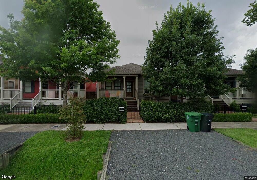
723 Ashland St Houston, TX 77007
Greater Heights NeighborhoodEstimated Value: $761,000 - $872,000
3
Beds
2
Baths
1,654
Sq Ft
$489/Sq Ft
Est. Value
About This Home
This home is located at 723 Ashland St, Houston, TX 77007 and is currently estimated at $808,680, approximately $488 per square foot. 723 Ashland St is a home located in Harris County with nearby schools including Love Elementary School, Hogg Middle, and Heights High School.
Ownership History
Date
Name
Owned For
Owner Type
Purchase Details
Closed on
Feb 2, 2012
Sold by
Sullivan Brothers Builders Ltd
Bought by
Molero Matthew L
Current Estimated Value
Home Financials for this Owner
Home Financials are based on the most recent Mortgage that was taken out on this home.
Original Mortgage
$316,800
Outstanding Balance
$217,664
Interest Rate
3.95%
Mortgage Type
New Conventional
Estimated Equity
$591,016
Create a Home Valuation Report for This Property
The Home Valuation Report is an in-depth analysis detailing your home's value as well as a comparison with similar homes in the area
Home Values in the Area
Average Home Value in this Area
Purchase History
| Date | Buyer | Sale Price | Title Company |
|---|---|---|---|
| Molero Matthew L | -- | Etc |
Source: Public Records
Mortgage History
| Date | Status | Borrower | Loan Amount |
|---|---|---|---|
| Open | Molero Matthew L | $316,800 |
Source: Public Records
Tax History Compared to Growth
Tax History
| Year | Tax Paid | Tax Assessment Tax Assessment Total Assessment is a certain percentage of the fair market value that is determined by local assessors to be the total taxable value of land and additions on the property. | Land | Improvement |
|---|---|---|---|---|
| 2025 | $12,264 | $808,742 | $440,000 | $368,742 |
| 2024 | $12,264 | $783,169 | $440,000 | $343,169 |
| 2023 | $12,264 | $798,189 | $440,000 | $358,189 |
| 2022 | $14,358 | $652,094 | $330,000 | $322,094 |
| 2021 | $14,296 | $613,398 | $316,800 | $296,598 |
| 2020 | $14,570 | $601,666 | $330,000 | $271,666 |
| 2019 | $15,020 | $593,559 | $330,000 | $263,559 |
| 2018 | $10,747 | $543,112 | $308,000 | $235,112 |
| 2017 | $13,733 | $543,112 | $264,000 | $279,112 |
| 2016 | $13,988 | $610,130 | $353,760 | $256,370 |
| 2015 | $9,272 | $546,959 | $294,800 | $252,159 |
| 2014 | $9,272 | $506,316 | $265,320 | $240,996 |
Source: Public Records
Map
Nearby Homes
- 710 Waverly St Unit D
- 710 Waverly St Unit C
- 806 Waverly St
- 513 W 8th St
- 813 Lawrence St
- 815 Lawrence St
- 919 Ashland St Unit B
- 311 W 6th St
- 224 W 8th St
- 913 Tulane St
- 713 Dorothy St
- 1104 W 9th St
- 836 Allston St
- 811 Yale St
- 925 Herkimer St
- 739 Dorothy St
- 702 N Shepherd Dr
- 919 Lawrence St
- 805 Heights Blvd
- 809 Heights Blvd
- 725 Ashland St
- 721 Ashland St
- 739 Ashland St
- 719 Ashland St
- 729 Ashland St
- 713 Ashland St
- 711 Ashland St
- 733 Ashland St
- 733 Ashland St Unit B
- 733 Ashland St Unit C
- 733 Ashland St Unit C
- 709 Ashland St
- 716A Waverly St Unit A
- 716A Waverly St
- 714 Waverly St
- 712 Waverly St
- 716 Waverly St Unit A
- 716 Waverly St Unit B
- 716 Waverly St
- 716 Waverly St