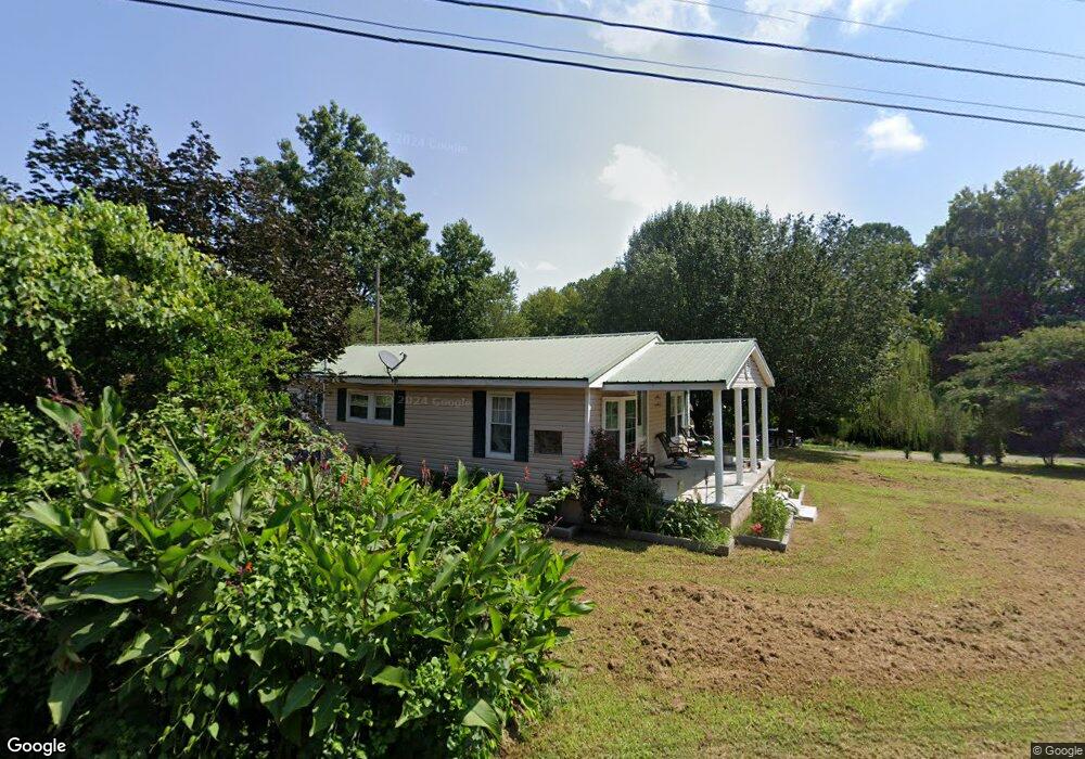
723 Betty St Dalton, GA 30721
Estimated Value: $132,545 - $218,000
--
Bed
1
Bath
932
Sq Ft
$195/Sq Ft
Est. Value
About This Home
This home is located at 723 Betty St, Dalton, GA 30721 and is currently estimated at $181,386, approximately $194 per square foot. 723 Betty St is a home located in Whitfield County with nearby schools including Eastside Elementary School, Eastbrook Middle School, and Southeast Whitfield County High School.
Ownership History
Date
Name
Owned For
Owner Type
Purchase Details
Closed on
Jul 29, 2011
Sold by
Bank Of America
Bought by
Guzman Miguel A
Current Estimated Value
Purchase Details
Closed on
Dec 7, 2010
Sold by
Malone Christine M
Bought by
Financial Freedom Acquistions Llc
Purchase Details
Closed on
Jan 28, 2008
Sold by
Not Provided
Bought by
Financial Freedom Acquistions
Purchase Details
Closed on
Jun 1, 2006
Sold by
Hall Christine Malone
Bought by
Malone Christine M
Purchase Details
Closed on
Sep 1, 1996
Bought by
Hall Christine Malone
Create a Home Valuation Report for This Property
The Home Valuation Report is an in-depth analysis detailing your home's value as well as a comparison with similar homes in the area
Home Values in the Area
Average Home Value in this Area
Purchase History
| Date | Buyer | Sale Price | Title Company |
|---|---|---|---|
| Guzman Miguel A | $23,000 | -- | |
| Financial Freedom Acquistions Llc | $42,000 | -- | |
| Financial Freedom Acquistions | -- | -- | |
| Malone Christine M | -- | -- | |
| Hall Christine Malone | $30,000 | -- |
Source: Public Records
Tax History Compared to Growth
Tax History
| Year | Tax Paid | Tax Assessment Tax Assessment Total Assessment is a certain percentage of the fair market value that is determined by local assessors to be the total taxable value of land and additions on the property. | Land | Improvement |
|---|---|---|---|---|
| 2024 | $706 | $48,092 | $7,000 | $41,092 |
| 2023 | $706 | $30,434 | $6,600 | $23,834 |
| 2022 | $367 | $20,980 | $4,360 | $16,620 |
| 2021 | $364 | $20,887 | $4,360 | $16,527 |
| 2020 | $365 | $20,887 | $4,360 | $16,527 |
| 2019 | $365 | $20,887 | $4,360 | $16,527 |
| 2018 | $366 | $20,887 | $4,360 | $16,527 |
| 2017 | $366 | $20,887 | $4,360 | $16,527 |
| 2016 | $297 | $17,841 | $2,730 | $15,111 |
| 2014 | $299 | $17,841 | $2,730 | $15,111 |
| 2013 | -- | $17,841 | $2,730 | $15,111 |
Source: Public Records
Map
Nearby Homes
- 1629 Roosevelt Dr
- trac 2 Roosevelt Dr
- trac 3 Roosevelt Dr
- 1412 Stevenson Dr
- 136 Wiltshire Dr
- 1902 Bartenfield Dr
- 1007 Locke Dr
- 1302 Jackson Rd
- 118 Hill Rd
- 514 Sheridan Ave
- 1320 Coker Dr
- 143 Staten St
- 359 Pacer Ln Unit 4
- Lot 5 River Bend Rd
- Lot 4 Riverbend Rd
- Lot 7 Riverbend Rd
- 1401 Eastbrook Rd SE
- Lot 3 Riverbend Rd
- Lot 2 Riverbend Rd
- 945 Riverbend Rd
- 735 Betty St
- 729 Betty St
- 721 Betty St
- 0 Betty St
- 724 Betty St
- 732 Betty St
- 714 Betty St
- 710 Betty St
- 751 Betty St
- 712 Betty St
- 703 Betty St
- 1617 Roosevelt Dr
- 704 Betty St
- 1102 Bonny Oaks Dr
- 1096 Bonny Oaks Dr
- 1111 Bonny Oaks Dr
- 1110 Bonny Oaks Dr
- 109 Primrose Way
- 1602 Roosevelt Dr
- 1616 Roosevelt Dr