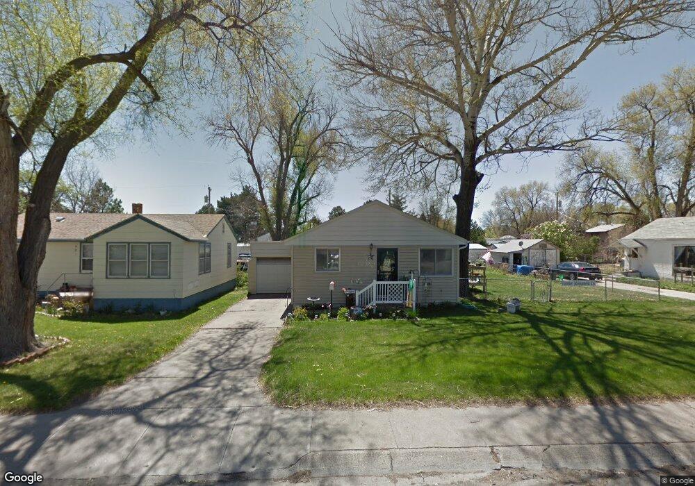
723 E 10th St Alliance, NE 69301
Estimated Value: $134,000 - $163,000
3
Beds
2
Baths
1,212
Sq Ft
$119/Sq Ft
Est. Value
About This Home
This home is located at 723 E 10th St, Alliance, NE 69301 and is currently estimated at $144,658, approximately $119 per square foot. 723 E 10th St is a home located in Box Butte County with nearby schools including Alliance High School, Immanuel Evangelical Lutheran School, and St. Agnes Academy.
Create a Home Valuation Report for This Property
The Home Valuation Report is an in-depth analysis detailing your home's value as well as a comparison with similar homes in the area
Home Values in the Area
Average Home Value in this Area
Tax History
| Year | Tax Paid | Tax Assessment Tax Assessment Total Assessment is a certain percentage of the fair market value that is determined by local assessors to be the total taxable value of land and additions on the property. | Land | Improvement |
|---|---|---|---|---|
| 2025 | $44 | $143,031 | $9,282 | $133,749 |
| 2024 | -- | $130,028 | $8,438 | $121,590 |
| 2023 | $2 | $130,028 | $8,438 | $121,590 |
| 2022 | $93 | $107,709 | $7,969 | $99,740 |
| 2021 | $1,834 | $99,474 | $7,969 | $91,505 |
| 2020 | $163 | $99,474 | $7,969 | $91,505 |
| 2019 | $163 | $99,474 | $7,969 | $91,505 |
| 2018 | $163 | $99,474 | $7,969 | $91,505 |
| 2017 | $1,670 | $90,009 | $6,094 | $83,915 |
| 2016 | $22 | $90,010 | $6,095 | $83,915 |
| 2015 | $364 | $85,260 | $6,095 | $79,165 |
| 2014 | $364 | $85,184 | $6,094 | $79,090 |
Source: Public Records
Map
Nearby Homes
- TBD Nebraska 87
- 719 E 8th St
- 712 E 7th St
- 620 Hudson Ave
- 612 Grand Ave
- 808 Missouri Ave
- 1231 Missouri Ave
- 1216 Duncan Ave
- 324 Grand Ave
- 112 E 11th St
- 114 W 8th St
- 1007 Laramie Ave
- 223 Sunset Dr
- 1103 Cheyenne Ave
- 122 W 4th St
- 1232 Cheyenne Ave
- 506 Cheyenne Ave
- 601 Big Horn Ave
- 719 Toluca Ave
- 413 Big Horn Ave
Your Personal Tour Guide
Ask me questions while you tour the home.