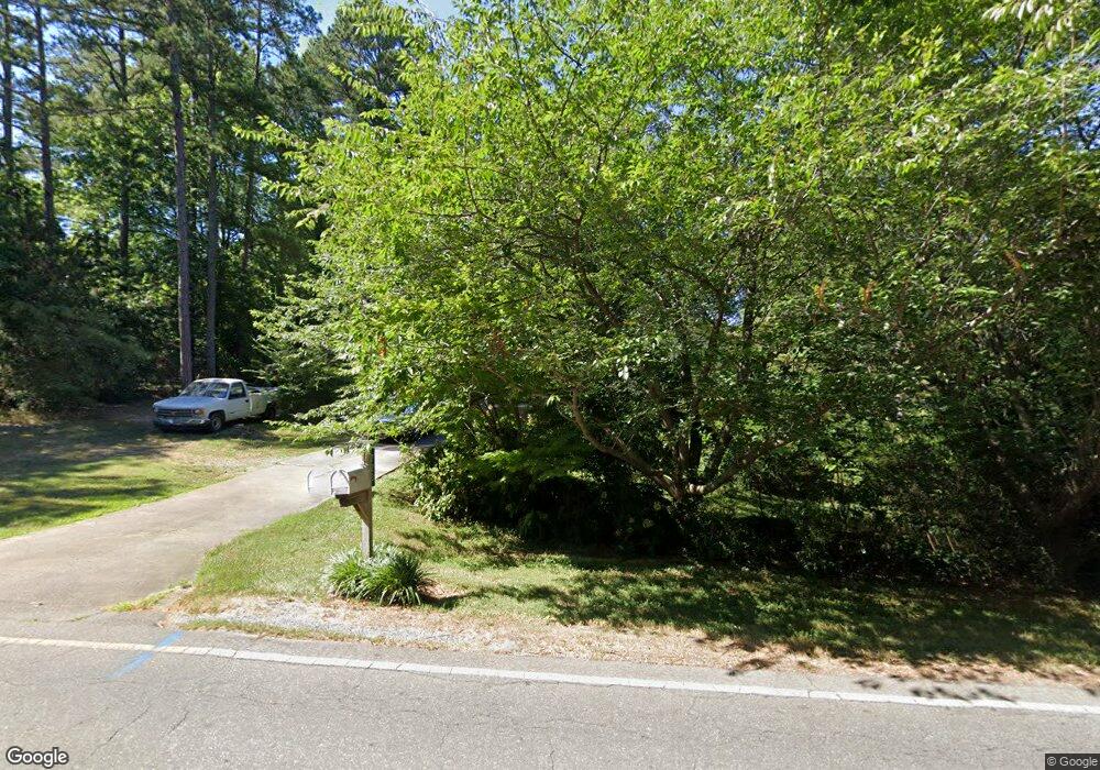
723 E Allred St Asheboro, NC 27203
Estimated Value: $174,670 - $219,000
--
Bed
2
Baths
999
Sq Ft
$206/Sq Ft
Est. Value
About This Home
This home is located at 723 E Allred St, Asheboro, NC 27203 and is currently estimated at $205,668, approximately $205 per square foot. 723 E Allred St is a home located in Randolph County with nearby schools including Charles W. McCrary Elementary School, North Asheboro Middle School, and Asheboro High School.
Ownership History
Date
Name
Owned For
Owner Type
Purchase Details
Closed on
Oct 28, 2004
Sold by
Foscue Patricia S and Foscue Julian M
Bought by
Valadez Francisco and Valadez Laura
Current Estimated Value
Purchase Details
Closed on
Sep 29, 2003
Sold by
Federal National Mortgage Association
Bought by
Valadez Francisco and Valadez Laura R
Home Financials for this Owner
Home Financials are based on the most recent Mortgage that was taken out on this home.
Original Mortgage
$98,000
Interest Rate
6.28%
Mortgage Type
Purchase Money Mortgage
Create a Home Valuation Report for This Property
The Home Valuation Report is an in-depth analysis detailing your home's value as well as a comparison with similar homes in the area
Home Values in the Area
Average Home Value in this Area
Purchase History
| Date | Buyer | Sale Price | Title Company |
|---|---|---|---|
| Valadez Francisco | $5,000 | -- | |
| Valadez Francisco | $98,000 | -- |
Source: Public Records
Mortgage History
| Date | Status | Borrower | Loan Amount |
|---|---|---|---|
| Previous Owner | Valadez Francisco | $98,000 |
Source: Public Records
Tax History Compared to Growth
Tax History
| Year | Tax Paid | Tax Assessment Tax Assessment Total Assessment is a certain percentage of the fair market value that is determined by local assessors to be the total taxable value of land and additions on the property. | Land | Improvement |
|---|---|---|---|---|
| 2025 | $1,069 | $136,070 | $32,900 | $103,170 |
| 2024 | $1,041 | $136,070 | $32,900 | $103,170 |
| 2023 | $1,041 | $136,070 | $32,900 | $103,170 |
| 2022 | $935 | $100,870 | $28,530 | $72,340 |
| 2021 | $935 | $100,870 | $28,530 | $72,340 |
| 2020 | $920 | $100,870 | $28,530 | $72,340 |
| 2019 | $920 | $100,870 | $28,530 | $72,340 |
| 2018 | $762 | $81,330 | $21,340 | $59,990 |
| 2016 | $742 | $81,329 | $21,340 | $59,989 |
| 2015 | $744 | $81,329 | $21,340 | $59,989 |
| 2014 | $744 | $81,329 | $21,340 | $59,989 |
Source: Public Records
Map
Nearby Homes
- 0 E Allred St Unit 1125495
- 575 Twain Dr
- 455 Brookwood Dr
- 1650 Meadowbrook Rd
- 933 Bay Leaf Ct
- 00 Hillsdale Dr
- 1249 Eton Ave
- 405 Saunders Dr
- 1537 Humble St
- 1319 E Allred St
- 0 English St
- 443 E Pritchard St
- 307 Old Liberty Rd
- 1356 Ridgewood Cir
- 00 E Presnell St
- 410 Millikan Dr
- 914 Tamworth Rd
- 000 W Presnell St
- 1335 Robins Nest Dr
- 246 Hampton Rd Unit 8A
- 0 E Allred St Unit 1023374
- 0 E Allred St Unit 924958
- 0 E Allred St Unit 1087552
- 733 E Allred St
- 1128 Camelot Dr
- 1107 Harvest Cir
- 1380 Harvest Cir
- 1140 Camelot Dr
- 1370 Harvest Cir
- 1113 Harvest Cir
- 1349 Keystone Dr
- 646 E Allred St
- 0 Harvest Cir
- 1125 Harvest Cir
- 1345 Keystone Dr
- 637 E Allred St
- 1146 Camelot Dr
- 632 E Allred St
- 1389 Harvest Cir
- Lt 8 Camelot Dr
