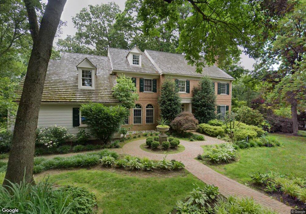
723 Haviland Dr Bryn Mawr, PA 19010
Estimated Value: $1,593,000 - $2,112,000
4
Beds
5
Baths
6,517
Sq Ft
$278/Sq Ft
Est. Value
About This Home
This home is located at 723 Haviland Dr, Bryn Mawr, PA 19010 and is currently estimated at $1,814,359, approximately $278 per square foot. 723 Haviland Dr is a home located in Delaware County with nearby schools including Ithan Elementary School, Radnor Middle School, and Radnor Senior High School.
Ownership History
Date
Name
Owned For
Owner Type
Purchase Details
Closed on
Apr 29, 2006
Sold by
Blickman Daniel R and Blickman Linda Nelson
Bought by
Roberts Road Homeowners Assn
Current Estimated Value
Purchase Details
Closed on
May 16, 2003
Sold by
Furey Christele
Bought by
Blickman Daniel and Blickman Linda Nelson
Home Financials for this Owner
Home Financials are based on the most recent Mortgage that was taken out on this home.
Original Mortgage
$825,000
Interest Rate
5.86%
Mortgage Type
Purchase Money Mortgage
Create a Home Valuation Report for This Property
The Home Valuation Report is an in-depth analysis detailing your home's value as well as a comparison with similar homes in the area
Home Values in the Area
Average Home Value in this Area
Purchase History
| Date | Buyer | Sale Price | Title Company |
|---|---|---|---|
| Roberts Road Homeowners Assn | $29,716 | None Available | |
| Blickman Daniel | $1,100,000 | Fidelity National Title |
Source: Public Records
Mortgage History
| Date | Status | Borrower | Loan Amount |
|---|---|---|---|
| Previous Owner | Blickman Daniel | $825,000 |
Source: Public Records
Tax History Compared to Growth
Tax History
| Year | Tax Paid | Tax Assessment Tax Assessment Total Assessment is a certain percentage of the fair market value that is determined by local assessors to be the total taxable value of land and additions on the property. | Land | Improvement |
|---|---|---|---|---|
| 2025 | $18,293 | $904,750 | $327,680 | $577,070 |
| 2024 | $18,293 | $904,750 | $327,680 | $577,070 |
| 2023 | $20,620 | $1,061,970 | $327,680 | $734,290 |
| 2022 | $20,395 | $1,061,970 | $327,680 | $734,290 |
| 2021 | $32,760 | $1,061,970 | $327,680 | $734,290 |
| 2020 | $21,525 | $618,765 | $276,710 | $342,055 |
| 2019 | $20,918 | $618,765 | $276,710 | $342,055 |
| 2018 | $25,308 | $763,610 | $0 | $0 |
| 2017 | $24,778 | $763,610 | $0 | $0 |
| 2016 | $4,191 | $763,610 | $0 | $0 |
| 2015 | $4,276 | $763,610 | $0 | $0 |
| 2014 | $4,191 | $763,610 | $0 | $0 |
Source: Public Records
Map
Nearby Homes
- 408 Barbara Ln Unit B
- 560 S Bryn Mawr Ave
- 215 Cornell Dr
- 390 S Bryn Mawr Ave
- 307 B B000 Summit Dr Unit B
- 202 Summit Dr Unit B
- 103 Summit Dr Unit B
- 406 Barclay Rd
- 67 Parkridge Dr
- 62 Parkridge Dr Unit 62
- 633 Foxfields Rd
- 53 Parkridge Dr
- 14 Westview Rd
- 189 Meredith Ave
- 3920 Darby Rd
- 4 Lockwood Ln
- 7 Lockwood Ln
- 739 S Roberts Rd
- 219 S Ithan Ave
- 3 Lockwood Ln
- 721 Haviland Dr
- 602 Portledge Dr
- 719 Haviland Dr
- 604 Portledge Dr
- 600 Portledge Dr
- 800 Mill Rd
- 705 Haviland Dr
- 606 Portledge Dr
- 701 Haviland Dr
- 477 S Roberts Rd
- 501 Dawn Ln
- 608 Portledge Dr
- 713 Haviland Dr
- 709 Haviland Dr
- 702 Haviland Dr
- 609 Portledge Dr
- 715 Haviland Dr
- 700 Haviland Dr
- 704 Haviland Dr
- 717 Haviland Dr