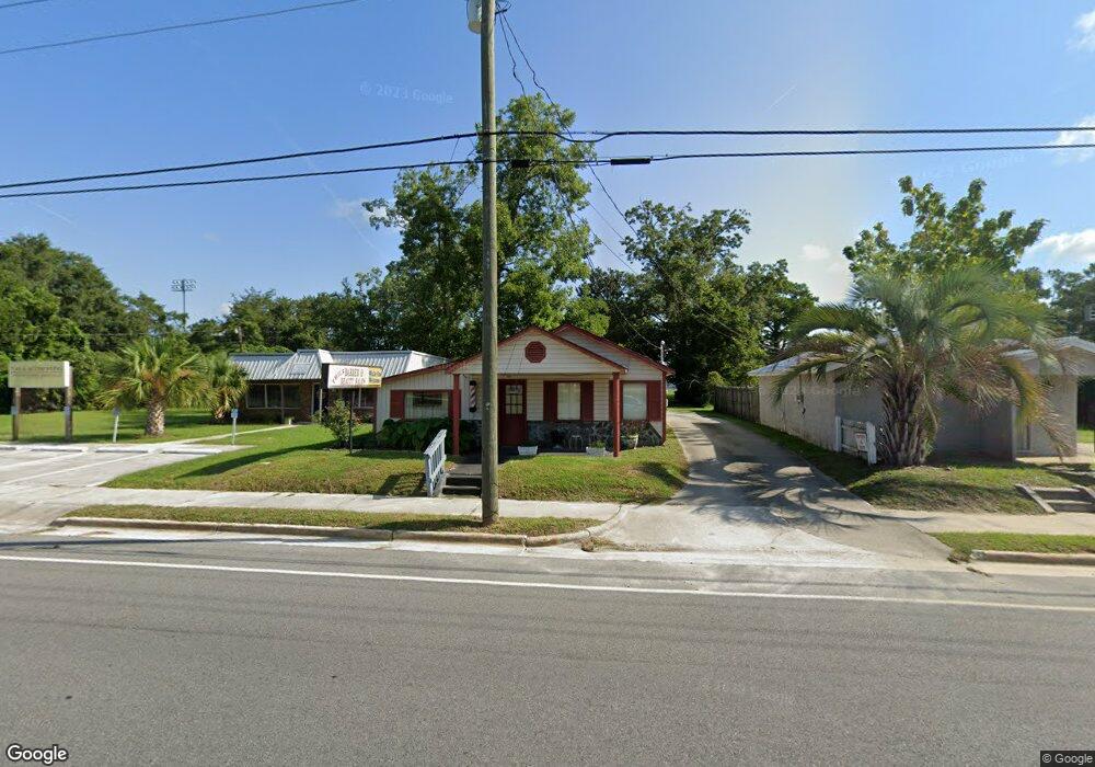
723 Knight Ave Waycross, GA 31501
Estimated Value: $125,000 - $234,000
--
Bed
1
Bath
1,220
Sq Ft
$135/Sq Ft
Est. Value
About This Home
This home is located at 723 Knight Ave, Waycross, GA 31501 and is currently estimated at $164,417, approximately $134 per square foot. 723 Knight Ave is a home located in Ware County with nearby schools including Williams Heights Elementary School, Waycross Middle School, and Ware County High School.
Ownership History
Date
Name
Owned For
Owner Type
Purchase Details
Closed on
Nov 15, 2010
Sold by
Edward Charles and Peacock Naomi Elizabeth
Bought by
Peacock Family Farms Lp
Current Estimated Value
Purchase Details
Closed on
Nov 2, 2010
Sold by
Peacock Family Trust
Bought by
Peacock Charles Edward and Peacock Naomi Elizabeth Hodge
Purchase Details
Closed on
Oct 29, 2010
Sold by
Peacock Charles Edward and Peacock Naomi Elizabeth Hodge
Bought by
Peacock Charles Edward and Peacock Naomi Elizabeth Hodge
Purchase Details
Closed on
Nov 26, 1986
Create a Home Valuation Report for This Property
The Home Valuation Report is an in-depth analysis detailing your home's value as well as a comparison with similar homes in the area
Home Values in the Area
Average Home Value in this Area
Purchase History
| Date | Buyer | Sale Price | Title Company |
|---|---|---|---|
| Peacock Family Farms Lp | -- | -- | |
| Peacock Charles Edward | -- | -- | |
| Peacock Charles Edward | -- | -- | |
| -- | $30,000 | -- |
Source: Public Records
Tax History Compared to Growth
Tax History
| Year | Tax Paid | Tax Assessment Tax Assessment Total Assessment is a certain percentage of the fair market value that is determined by local assessors to be the total taxable value of land and additions on the property. | Land | Improvement |
|---|---|---|---|---|
| 2024 | $3,107 | $81,368 | $18,208 | $63,160 |
| 2023 | $2,806 | $42,658 | $13,242 | $29,416 |
| 2022 | $1,700 | $42,658 | $13,242 | $29,416 |
| 2021 | $1,591 | $36,794 | $13,242 | $23,552 |
| 2020 | $1,596 | $36,616 | $13,242 | $23,374 |
| 2019 | $1,503 | $33,996 | $13,242 | $20,754 |
| 2018 | $1,499 | $33,589 | $13,242 | $20,347 |
| 2017 | $1,465 | $33,589 | $13,242 | $20,347 |
| 2016 | $1,465 | $33,589 | $13,242 | $20,347 |
| 2015 | $1,475 | $33,589 | $13,242 | $20,347 |
| 2014 | $1,473 | $33,590 | $13,242 | $20,347 |
| 2013 | -- | $33,749 | $13,242 | $20,506 |
Source: Public Records
Map
Nearby Homes
- 0 Goodwin St
- 924 Highsmith St
- 808 Satilla Blvd
- 506 Magnolia Dr
- 713 Magnolia Dr
- 502 Dewey St
- 415 Dewey St
- 1101 Cherokee Dr
- 511 Richmond Ave
- 903 Atlantic Ave
- 0 Marion St
- 7438 Central Ave
- 807 College St
- 1100 Atlantic Ave
- 0 Saint Marys Dr Unit (TRACT 2 0.25 ACRES)
- 707 Euclid Ave
- 1205 Dean Dr
- 807 City Blvd
- 907 Euclid Ave
- 1002 Baltimore Ave
- 715 Knight Ave
- 0 St Mary's Ave (Tract 2 0 25 Acres) Unit 10541709
- 000 Goodwin St
- 0000
- 1416 Byrd St
- 1414 Byrd St
- 1408 Byrd St
- 508 Saint Marys Dr
- 1502 Byrd St
- 1312 Memorial Dr
- 808 Goodwin St
- 500 Oakwood Ave
- 907 Knight Ave
- 410 Satilla Blvd
- 812 Goodwin St
- 412 Satilla Blvd
- 504 Oakwood Ave
- 0 Satilla River Unit 27493
- 1400 Byrd St
- 510 Saint Marys Dr