723 Lumpkin Rd Mobile, AL 36608
Outer West Mobile NeighborhoodEstimated Value: $493,000 - $585,716
4
Beds
3
Baths
2,933
Sq Ft
$181/Sq Ft
Est. Value
About This Home
This home is located at 723 Lumpkin Rd, Mobile, AL 36608 and is currently estimated at $531,929, approximately $181 per square foot. 723 Lumpkin Rd is a home located in Mobile County with nearby schools including Taylor White Elementary School, Bernice J Causey Middle School, and Baker High School.
Ownership History
Date
Name
Owned For
Owner Type
Purchase Details
Closed on
Apr 30, 2021
Sold by
Cioffi Eugene A and Cioffi Donna L
Bought by
Hill John Preston and Hill Ainsley Nicole
Current Estimated Value
Home Financials for this Owner
Home Financials are based on the most recent Mortgage that was taken out on this home.
Original Mortgage
$360,000
Outstanding Balance
$325,740
Interest Rate
3%
Mortgage Type
New Conventional
Estimated Equity
$206,189
Purchase Details
Closed on
Dec 22, 2010
Sold by
Sanford Steven Alan and Sanford Cynthia M
Bought by
Cioffi Eugene A and Cioffi Donna L
Home Financials for this Owner
Home Financials are based on the most recent Mortgage that was taken out on this home.
Original Mortgage
$337,564
Interest Rate
4.4%
Mortgage Type
New Conventional
Create a Home Valuation Report for This Property
The Home Valuation Report is an in-depth analysis detailing your home's value as well as a comparison with similar homes in the area
Home Values in the Area
Average Home Value in this Area
Purchase History
| Date | Buyer | Sale Price | Title Company |
|---|---|---|---|
| Hill John Preston | $450,000 | None Available | |
| Cioffi Eugene A | -- | Slt |
Source: Public Records
Mortgage History
| Date | Status | Borrower | Loan Amount |
|---|---|---|---|
| Open | Hill John Preston | $360,000 | |
| Previous Owner | Cioffi Eugene A | $337,564 |
Source: Public Records
Tax History Compared to Growth
Tax History
| Year | Tax Paid | Tax Assessment Tax Assessment Total Assessment is a certain percentage of the fair market value that is determined by local assessors to be the total taxable value of land and additions on the property. | Land | Improvement |
|---|---|---|---|---|
| 2024 | $2,310 | $45,520 | $9,690 | $35,830 |
| 2023 | $2,212 | $42,000 | $8,100 | $33,900 |
| 2022 | $1,988 | $42,370 | $8,100 | $34,270 |
| 2021 | $3,578 | $36,890 | $8,740 | $28,150 |
| 2020 | $1,737 | $37,190 | $8,740 | $28,450 |
| 2019 | $1,618 | $34,720 | $8,740 | $25,980 |
| 2018 | $1,631 | $35,000 | $0 | $0 |
| 2017 | $2,013 | $41,440 | $0 | $0 |
| 2016 | $1,954 | $41,660 | $0 | $0 |
| 2013 | $727 | $35,280 | $0 | $0 |
Source: Public Records
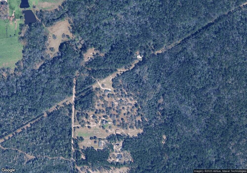
Map
Nearby Homes
- 10756 Flagstone Dr
- 960 Creekstone Dr
- 0 Creekstone Dr Unit 7273836
- 0 Cornerstone Ct Unit 7163218
- 0 Cornerstone Ct Unit 7657043
- 10720 Burlington Way N
- 10738 Ridgeview Dr
- 10875 Sierra Estates Dr
- 1352 Sierra Estates Dr
- 10775 Burlington Estates Dr
- 10659 Relic Rd N
- 10750 Elnina Dr
- 10564 Heirloom Rd S
- 10615 Relic Rd S
- 10605 Relic Rd S
- 10597 Relic Rd S
- 10580 Relic Rd S
- 10577 Relic Rd S
- 10706 Relic Rd N
- 1717 Plan at Pines of Dawes
- 745 Lumpkin Rd
- 831 Lumpkin Rd
- 699 Lumpkin Rd
- 845 Lumpkin Rd
- 901 Lumpkin Rd
- 775 Lumpkin Rd
- 921 Lumpkin Rd
- 951 Lumpkin Rd
- 931 Lumpkin Rd
- 535 Novatan Rd S
- 11260 Chad Davis Rd
- 420 Novatan Rd S
- 520 Novatan Rd S
- 515 Novatan Rd S
- 1021 Lumpkin Rd
- 1051 Lumpkin Rd Unit A
- 11150 Trotters Ln
- 11170 Trotters Ln
- 11170 Trotters Ln
- 0 Trotters Ln Unit 647271