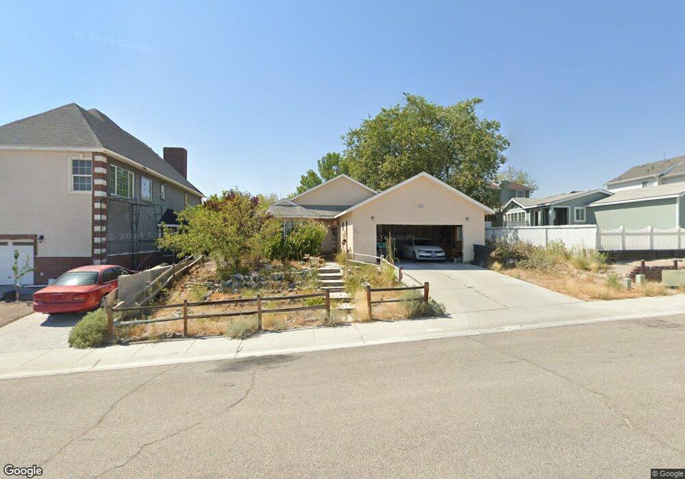
723 N Apache Ln West Wendover, NV 89883
Estimated Value: $323,825 - $354,000
--
Bed
--
Bath
1,683
Sq Ft
$204/Sq Ft
Est. Value
About This Home
This home is located at 723 N Apache Ln, West Wendover, NV 89883 and is currently estimated at $343,942, approximately $204 per square foot. 723 N Apache Ln is a home with nearby schools including West Wendover Elementary School, West Wendover Junior High School, and West Wendover High School.
Ownership History
Date
Name
Owned For
Owner Type
Purchase Details
Closed on
Jun 2, 2014
Sold by
Nevoro Nevada Inc
Bought by
Treasurer Of The County Of Elko
Current Estimated Value
Purchase Details
Closed on
May 19, 2009
Sold by
Anns Lily Market Llc
Bought by
West Wendover Llc
Purchase Details
Closed on
Apr 30, 2009
Sold by
Rollins Linette
Bought by
West Wendover Llc
Purchase Details
Closed on
Apr 29, 2009
Sold by
Owen Neil and Owen Iva
Bought by
West Wendover Llc
Purchase Details
Closed on
Apr 28, 2009
Sold by
Parker Dan and Parker Becky
Bought by
West Wendover Llc
Purchase Details
Closed on
Apr 27, 2009
Sold by
Weidauer John C and Weidauer Brooke A
Bought by
West Wendover Llc
Create a Home Valuation Report for This Property
The Home Valuation Report is an in-depth analysis detailing your home's value as well as a comparison with similar homes in the area
Home Values in the Area
Average Home Value in this Area
Purchase History
| Date | Buyer | Sale Price | Title Company |
|---|---|---|---|
| Treasurer Of The County Of Elko | -- | None Available | |
| West Wendover Llc | $33,500 | None Available | |
| West Wendover Llc | $13,500 | None Available | |
| West Wendover Llc | $13,500 | None Available | |
| West Wendover Llc | $79,500 | None Available | |
| West Wendover Llc | $20,000 | None Available |
Source: Public Records
Tax History Compared to Growth
Tax History
| Year | Tax Paid | Tax Assessment Tax Assessment Total Assessment is a certain percentage of the fair market value that is determined by local assessors to be the total taxable value of land and additions on the property. | Land | Improvement |
|---|---|---|---|---|
| 2025 | $2,742 | $71,400 | $9,450 | $61,950 |
| 2024 | $2,742 | $72,682 | $9,450 | $63,232 |
| 2023 | $2,461 | $68,845 | $9,450 | $59,395 |
| 2022 | $2,282 | $60,091 | $9,450 | $50,641 |
| 2021 | $2,262 | $57,605 | $9,450 | $48,155 |
| 2020 | $2,224 | $58,900 | $9,450 | $49,450 |
| 2019 | $2,151 | $55,685 | $9,450 | $46,235 |
| 2018 | $2,161 | $55,979 | $9,450 | $46,529 |
| 2017 | $2,137 | $55,320 | $9,450 | $45,870 |
| 2016 | $2,114 | $53,733 | $9,450 | $44,283 |
| 2015 | $2,078 | $53,079 | $9,450 | $43,629 |
| 2014 | $1,941 | $51,066 | $9,450 | $41,616 |
Source: Public Records
Map
Nearby Homes
- 0 Pueblo Blvd Unit 11071957
- 0 N Butte St
- 901 Alpine St
- 0 Wendover Blvd
- 2911 Winged Foot Ct
- 2947 Sawgrass Ct
- 180 N Wildcat Blvd
- 576 N Vista Dr
- 590 Pilot St
- 250 8th St
- 0 Pilot Rd
- 0 Unit 3626617
- 0 Unit 3626616
- 0 Blm 1578 Rd Unit 3626010
- 0 Unit 3626136
- Country Rd Unit Mountain Meadows Ran
- 0 075-006-073 Sec19 Twp36n Rge69e Unit 3626489
- 401 Quaking Aspen Rd
- 0 Pine Cone Dr Unit 220015980
- 0 Pilot Valley Rd Unit 3626278
- 705 N Apache Ln
- 731 Apache Ln
- 2110 W Hopi St
- 745 N Apache Ln
- 724 N Tibbets Blvd
- 744 N Tibbets Blvd
- 682 N Tibbets Blvd
- 754 N Tibbets Blvd
- 730 N Apache Ln
- 2076 W Hopi St
- 744 N Apache Ln
- 754 N Apache Ln
- 764 N Tibbets Blvd
- 663 N Apache Ln
- 662 N Tibbets Blvd
- 2066 W Hopi St
- 2075 W Hopi St
- 2077 Butte St
- 2085 Butte St
- 655 Apache Ln