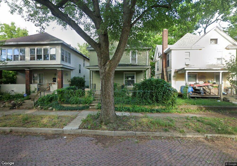
723 N Scott St South Bend, IN 46616
Near Northwest NeighborhoodEstimated Value: $63,556 - $215,000
3
Beds
2
Baths
2,016
Sq Ft
$60/Sq Ft
Est. Value
About This Home
This home is located at 723 N Scott St, South Bend, IN 46616 and is currently estimated at $121,639, approximately $60 per square foot. 723 N Scott St is a home located in St. Joseph County with nearby schools including Muessel Primary Center, Clay Intermediate Center, and Jefferson Intermediate Traditional School.
Ownership History
Date
Name
Owned For
Owner Type
Purchase Details
Closed on
Jun 29, 2010
Sold by
Fannie Mae
Bought by
Joint Venture Properties Llc
Current Estimated Value
Purchase Details
Closed on
May 27, 2010
Sold by
Wells Fargo Bank Na
Bought by
Federal National Mortgage Association
Purchase Details
Closed on
Apr 29, 2010
Sold by
Yarbough Regina
Bought by
Wells Fargo Bank Na
Create a Home Valuation Report for This Property
The Home Valuation Report is an in-depth analysis detailing your home's value as well as a comparison with similar homes in the area
Home Values in the Area
Average Home Value in this Area
Purchase History
| Date | Buyer | Sale Price | Title Company |
|---|---|---|---|
| Joint Venture Properties Llc | -- | Meridian Title Corp | |
| Federal National Mortgage Association | -- | Meridian Title Corp | |
| Federal National Mortgage Association | -- | Meridian Title Corp | |
| Wells Fargo Bank Na | $48,151 | None Available |
Source: Public Records
Tax History
| Year | Tax Paid | Tax Assessment Tax Assessment Total Assessment is a certain percentage of the fair market value that is determined by local assessors to be the total taxable value of land and additions on the property. | Land | Improvement |
|---|---|---|---|---|
| 2025 | $812 | $42,100 | $2,400 | $39,700 |
| 2024 | $787 | $32,600 | $2,400 | $30,200 |
| 2023 | $619 | $31,200 | $2,400 | $28,800 |
| 2022 | $619 | $25,800 | $2,400 | $23,400 |
| 2021 | $650 | $73,500 | $2,400 | $71,100 |
| 2020 | $1,363 | $55,000 | $1,800 | $53,200 |
| 2019 | $1,371 | $66,400 | $2,200 | $64,200 |
| 2018 | $487 | $18,600 | $2,100 | $16,500 |
| 2017 | $502 | $18,500 | $2,100 | $16,400 |
| 2016 | $438 | $15,600 | $1,800 | $13,800 |
| 2014 | $402 | $15,400 | $1,800 | $13,600 |
Source: Public Records
Map
Nearby Homes
- 814 Ashland Ave
- 535 Lincoln Way W
- 0.3 Acres W Marion St
- 319 Kunstman Ct
- 415 Lincoln Way W
- 503 Allen St
- 505 Allen St
- 822 Blaine Ave
- 314 N Taylor St
- 611 Blaine Ave
- 715 Blaine Ave
- 726 W Lasalle Ave
- 1121 Birner St
- 930 W La Salle Ave
- 337 Lincoln Way W
- 541 Cleveland Ave
- 1233 Van Buren St
- 524 Euclid Ave
- 617 Euclid Ave
- 512 Euclid Ave
Your Personal Tour Guide
Ask me questions while you tour the home.