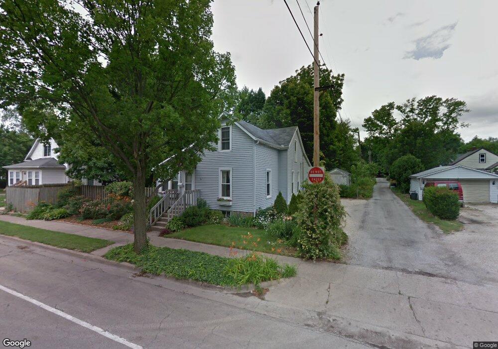
723 S State St Champaign, IL 61820
Clark NeighborhoodEstimated Value: $134,640 - $153,000
Studio
1
Bath
908
Sq Ft
$158/Sq Ft
Est. Value
About This Home
This home is located at 723 S State St, Champaign, IL 61820 and is currently estimated at $143,410, approximately $157 per square foot. 723 S State St is a home located in Champaign County with nearby schools including Central High School and Holy Cross Elementary School.
Ownership History
Date
Name
Owned For
Owner Type
Purchase Details
Closed on
Jul 29, 2004
Sold by
Salzman Myron
Bought by
Mccallen Mary Kay
Current Estimated Value
Home Financials for this Owner
Home Financials are based on the most recent Mortgage that was taken out on this home.
Original Mortgage
$67,900
Outstanding Balance
$34,561
Interest Rate
6.4%
Mortgage Type
Purchase Money Mortgage
Estimated Equity
$108,849
Create a Home Valuation Report for This Property
The Home Valuation Report is an in-depth analysis detailing your home's value as well as a comparison with similar homes in the area
Home Values in the Area
Average Home Value in this Area
Purchase History
| Date | Buyer | Sale Price | Title Company |
|---|---|---|---|
| Mccallen Mary Kay | $85,000 | -- |
Source: Public Records
Mortgage History
| Date | Status | Borrower | Loan Amount |
|---|---|---|---|
| Open | Mccallen Mary Kay | $67,900 |
Source: Public Records
Tax History
| Year | Tax Paid | Tax Assessment Tax Assessment Total Assessment is a certain percentage of the fair market value that is determined by local assessors to be the total taxable value of land and additions on the property. | Land | Improvement |
|---|---|---|---|---|
| 2024 | $2,230 | $38,330 | $8,310 | $30,020 |
| 2023 | $2,230 | $34,910 | $7,570 | $27,340 |
| 2022 | $1,722 | $32,200 | $6,980 | $25,220 |
| 2021 | $1,715 | $31,570 | $6,840 | $24,730 |
| 2020 | $1,717 | $30,360 | $6,580 | $23,780 |
| 2019 | $2,150 | $29,730 | $6,440 | $23,290 |
| 2018 | $2,093 | $29,260 | $6,340 | $22,920 |
| 2017 | $2,001 | $28,140 | $6,100 | $22,040 |
| 2016 | $1,783 | $27,560 | $5,970 | $21,590 |
| 2015 | $1,788 | $27,070 | $5,860 | $21,210 |
| 2014 | $1,773 | $27,070 | $5,860 | $21,210 |
| 2013 | $1,757 | $27,070 | $5,860 | $21,210 |
Source: Public Records
Map
Nearby Homes
- 722 S Prairie St
- 722 S Lynn St
- 911 Foley Ave
- 406 S Elm St
- 809 W John St
- 807 Haines Blvd
- 701 Hamilton Dr
- 1206 S Prospect Ave
- 812 Dodds Dr
- 311 S Van Doren St
- 1003 W William St
- 22 Greencroft Dr
- 21 Greencroft Dr
- 301 N Neil St Unit 808-809
- 301 N Neil St Unit 608
- 1708 Park Haven Dr
- 307 N Prairie St Unit 9
- 613 W Church St
- 7 Greencroft Dr
- 408 N State St Unit 12
- 725 S State St
- 304 W William St
- 719 S State St
- 306 W William St
- 728 S State St
- 1 O Neil Ct
- 306 1/2 W William St
- 1 Daughtery Ct
- 717 S State St
- 3 O Neil Ct
- 3 O Neil Ct Unit 1
- 801 S State St
- 2 O Neil Ct
- 210 W William St
- 210 W William St Unit 1
- 308 1/2 W William St
- 4 O Neil Ct
- 5 O Neil Ct
- 5 O Neil Ct Unit 1
- 2 Daughtery Ct
Your Personal Tour Guide
Ask me questions while you tour the home.