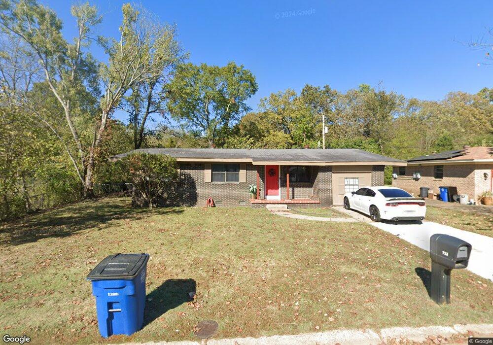
723 Shamrock Dr North Little Rock, AR 72118
Amboy NeighborhoodEstimated Value: $121,000 - $160,000
--
Bed
3
Baths
1,886
Sq Ft
$76/Sq Ft
Est. Value
About This Home
This home is located at 723 Shamrock Dr, North Little Rock, AR 72118 and is currently estimated at $142,465, approximately $75 per square foot. 723 Shamrock Dr is a home located in Pulaski County with nearby schools including Amboy Elementary School, North Little Rock Middle School 6th Grade Campus, and North Little Rock High School.
Ownership History
Date
Name
Owned For
Owner Type
Purchase Details
Closed on
Dec 9, 2020
Sold by
Frazier Pamela and Frazier Chris
Bought by
Blue Wave Llc
Current Estimated Value
Home Financials for this Owner
Home Financials are based on the most recent Mortgage that was taken out on this home.
Original Mortgage
$95,235
Outstanding Balance
$5,073
Interest Rate
2.7%
Mortgage Type
New Conventional
Estimated Equity
$137,392
Create a Home Valuation Report for This Property
The Home Valuation Report is an in-depth analysis detailing your home's value as well as a comparison with similar homes in the area
Home Values in the Area
Average Home Value in this Area
Purchase History
| Date | Buyer | Sale Price | Title Company |
|---|---|---|---|
| Blue Wave Llc | $80,175 | Waco Title |
Source: Public Records
Mortgage History
| Date | Status | Borrower | Loan Amount |
|---|---|---|---|
| Open | Blue Wave Llc | $95,235 |
Source: Public Records
Tax History Compared to Growth
Tax History
| Year | Tax Paid | Tax Assessment Tax Assessment Total Assessment is a certain percentage of the fair market value that is determined by local assessors to be the total taxable value of land and additions on the property. | Land | Improvement |
|---|---|---|---|---|
| 2025 | $1,734 | $25,963 | $3,000 | $22,963 |
| 2024 | $1,734 | $25,963 | $3,000 | $22,963 |
| 2023 | $1,734 | $25,963 | $3,000 | $22,963 |
| 2022 | $1,734 | $25,963 | $3,000 | $22,963 |
| 2021 | $1,097 | $17,920 | $3,300 | $14,620 |
| 2020 | $1,005 | $17,920 | $3,300 | $14,620 |
| 2019 | $539 | $17,920 | $3,300 | $14,620 |
| 2018 | $914 | $17,920 | $3,300 | $14,620 |
| 2017 | $564 | $17,920 | $3,300 | $14,620 |
| 2016 | $564 | $18,690 | $3,700 | $14,990 |
| 2015 | $914 | $13,679 | $3,700 | $9,979 |
| 2014 | $914 | $13,679 | $3,700 | $9,979 |
Source: Public Records
Map
Nearby Homes
- 1400 Nicole Dr
- 409 Harper Ln
- 5709 Shamrock Dr
- 4920 Lee St
- 702 E Military Dr
- Lot 87 Foxboro Dr
- Lot 86 Foxboro Dr
- Lot 85 Foxboro Dr
- Lot 84 Foxboro Dr
- Lot 83 Foxboro Dr
- Lot 82 Foxboro Dr
- Lot 96 Foxboro Dr
- Lot 95 Foxboro Dr
- Lot 90 Foxboro Dr
- Lot 91 Foxboro Dr
- Lot 89 Foxboro Dr
- Lot 88 Foxboro Dr
- 5612 Division St
- 319 Wilson St
- 1108 Nicole Dr
- 721 Shamrock Dr
- 801 Shamrock Dr
- 300 Texas Ave
- 720 Shamrock Dr
- 101 Galway St
- 308 Texas Ave
- 719 Shamrock Dr
- 312 Texas Ave
- 803 Shamrock Dr
- 718 Shamrock Dr
- 0 Shamrock Dr Unit 15026350
- 0 Shamrock Dr Unit 15029992
- 0 Shamrock Dr Unit 16036191
- 0 Shamrock Dr Unit 18001165
- 0 Shamrock Dr
- 103 Galway St
- 717 Shamrock Dr
- 224 Texas Ave
- 804 Shamrock Dr
- 316 Texas Ave