723 West Dr Deridder, LA 70634
Estimated Value: $84,000 - $182,000
--
Bed
--
Bath
--
Sq Ft
--
Built
About This Home
This home is located at 723 West Dr, Deridder, LA 70634 and is currently estimated at $128,215. 723 West Dr is a home located in Beauregard Parish with nearby schools including K.R. Hanchey Elementary School, Pine Wood Elementary School, and Carver Elementary School.
Ownership History
Date
Name
Owned For
Owner Type
Purchase Details
Closed on
Dec 23, 2024
Sold by
Colombos Estates Llc
Bought by
Colombo Steven Curtis
Current Estimated Value
Home Financials for this Owner
Home Financials are based on the most recent Mortgage that was taken out on this home.
Original Mortgage
$235,000
Outstanding Balance
$150,609
Interest Rate
6.84%
Mortgage Type
New Conventional
Estimated Equity
-$22,394
Purchase Details
Closed on
Oct 6, 2022
Sold by
Colombo Joseph N
Bought by
Colombo Estate Llc
Create a Home Valuation Report for This Property
The Home Valuation Report is an in-depth analysis detailing your home's value as well as a comparison with similar homes in the area
Home Values in the Area
Average Home Value in this Area
Purchase History
| Date | Buyer | Sale Price | Title Company |
|---|---|---|---|
| Colombo Steven Curtis | -- | None Listed On Document | |
| Colombo Estate Llc | $20,000 | -- |
Source: Public Records
Mortgage History
| Date | Status | Borrower | Loan Amount |
|---|---|---|---|
| Open | Colombo Steven Curtis | $235,000 |
Source: Public Records
Tax History Compared to Growth
Tax History
| Year | Tax Paid | Tax Assessment Tax Assessment Total Assessment is a certain percentage of the fair market value that is determined by local assessors to be the total taxable value of land and additions on the property. | Land | Improvement |
|---|---|---|---|---|
| 2024 | $519 | $5,052 | $900 | $4,152 |
| 2023 | $273 | $2,600 | $800 | $1,800 |
| 2022 | $273 | $2,600 | $800 | $1,800 |
| 2021 | $273 | $2,600 | $800 | $1,800 |
| 2020 | $273 | $2,600 | $800 | $1,800 |
| 2019 | $273 | $2,600 | $800 | $1,800 |
| 2018 | $273 | $2,600 | $800 | $1,800 |
| 2017 | $273 | $2,600 | $800 | $1,800 |
| 2016 | $273 | $2,600 | $800 | $1,800 |
| 2015 | $263 | $2,600 | $800 | $1,800 |
| 2014 | $263 | $2,600 | $800 | $1,800 |
Source: Public Records
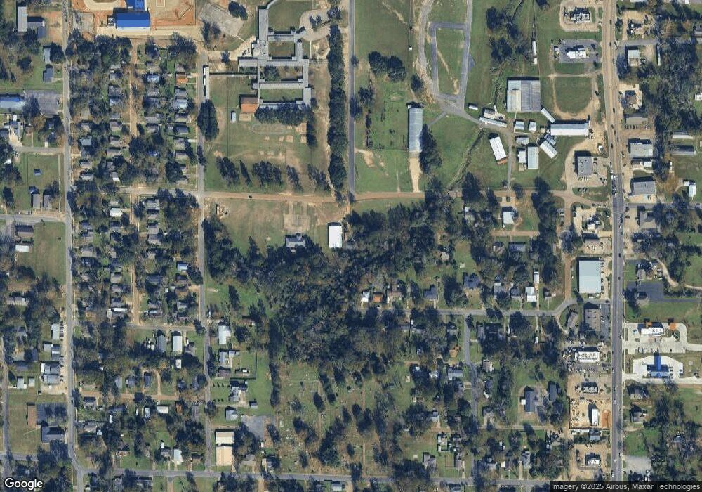
Map
Nearby Homes
- 0 Brown St Unit SWL25102366
- 508 Magnolia St
- 0 W Dr Tbd
- 605 Roberts St
- 737 Roberts St Unit A and B
- 304 Broad St Unit Street
- 205 N Royal St
- 721 N Texas St
- 801 Shirley St
- 1012 Mc Arthur St
- 0 Tbd Shirley St
- 104 N Royal St
- 115 N Texas St
- 106 N Texas St
- 116 W Port St
- 1110 W Port St Unit West Port
- 108 N Division St
- 1007 Shirley St
- 0 U S Highway 190 Unit WEST 02-5707
- 0 Bilbo Street (Tract 1)
- 725 West Dr
- 612 Magnolia St
- 0 Magnolia St
- 610 Magnolia St
- 608 Magnolia St
- 735 West Dr
- 606 Magnolia St
- 613 Magnolia St
- 609 Magnolia St
- 611 Magnolia St
- 604 Magnolia St
- 604 Magnolia St Unit STREET
- 607 Magnolia St
- 525 Fair St
- 0 Magnolia St 602 Unit 602 26-3633
- 0 Magnolia St 602 Unit 602
- 605 Magnolia St
- 0 West Dr
- 602 Magnolia St
- 513 West Dr