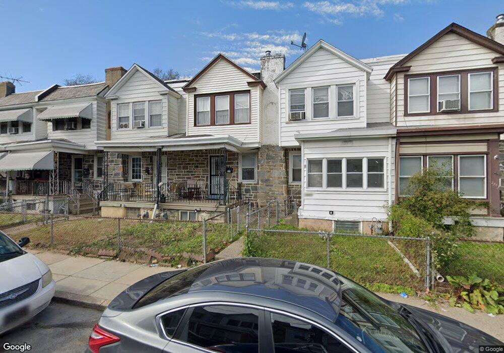
7233 Clinton Rd Upper Darby, PA 19082
Estimated Value: $127,000 - $157,000
3
Beds
2
Baths
1,170
Sq Ft
$124/Sq Ft
Est. Value
About This Home
This home is located at 7233 Clinton Rd, Upper Darby, PA 19082 and is currently estimated at $144,734, approximately $123 per square foot. 7233 Clinton Rd is a home located in Delaware County with nearby schools including Upper Darby High School, Vision Academy Charter School, and Lansdowne Friends School.
Ownership History
Date
Name
Owned For
Owner Type
Purchase Details
Closed on
Nov 18, 2005
Sold by
Joyce James J
Bought by
Minarik Julius and Bakos Jan
Current Estimated Value
Purchase Details
Closed on
Nov 20, 2002
Sold by
Chowdhury Salauddin
Bought by
Joyce James J
Home Financials for this Owner
Home Financials are based on the most recent Mortgage that was taken out on this home.
Original Mortgage
$45,600
Interest Rate
6.07%
Mortgage Type
Purchase Money Mortgage
Create a Home Valuation Report for This Property
The Home Valuation Report is an in-depth analysis detailing your home's value as well as a comparison with similar homes in the area
Home Values in the Area
Average Home Value in this Area
Purchase History
| Date | Buyer | Sale Price | Title Company |
|---|---|---|---|
| Minarik Julius | $63,500 | None Available | |
| Joyce James J | $48,000 | T A Title Insurance Company |
Source: Public Records
Mortgage History
| Date | Status | Borrower | Loan Amount |
|---|---|---|---|
| Previous Owner | Joyce James J | $45,600 |
Source: Public Records
Tax History Compared to Growth
Tax History
| Year | Tax Paid | Tax Assessment Tax Assessment Total Assessment is a certain percentage of the fair market value that is determined by local assessors to be the total taxable value of land and additions on the property. | Land | Improvement |
|---|---|---|---|---|
| 2025 | $2,942 | $69,560 | $13,620 | $55,940 |
| 2024 | $2,942 | $69,560 | $13,620 | $55,940 |
| 2023 | $2,914 | $69,560 | $13,620 | $55,940 |
| 2022 | $2,836 | $69,560 | $13,620 | $55,940 |
| 2021 | $3,824 | $69,560 | $13,620 | $55,940 |
| 2020 | $1,490 | $23,040 | $12,380 | $10,660 |
| 2019 | $1,464 | $23,040 | $12,380 | $10,660 |
| 2018 | $1,447 | $23,040 | $0 | $0 |
| 2017 | $1,410 | $23,040 | $0 | $0 |
| 2016 | $126 | $23,040 | $0 | $0 |
| 2015 | $129 | $23,040 | $0 | $0 |
| 2014 | $126 | $23,040 | $0 | $0 |
Source: Public Records
Map
Nearby Homes
- 7229 Clinton Rd
- 7216 Clinton Rd
- 669 Long Ln
- 660 Copley Rd
- 726 Copley Rd
- 404 Croyden Rd
- 7155 Radbourne Rd
- 7162 Radbourne Rd
- 7247 Guilford Rd
- 607 Littlecroft Rd
- 7042 Clinton Rd
- 7181 Ruskin Ln
- 535 Glendale Rd
- 346 Long Ln
- 7129 Seaford Rd
- 6997 Guilford Rd
- 7123 Seaford Rd
- 243 Coverly Rd
- 506 Hampden Rd
- 319 E Essex Ave
- 7231 Clinton Rd
- 7235 Clinton Rd
- 7237 Clinton Rd
- 7227 Clinton Rd
- 7239 Clinton Rd
- 7225 Clinton Rd
- 7241 Clinton Rd
- 7223 Clinton Rd
- 7243 Clinton Rd
- 7222 Alderbrook Rd
- 7222 Alderbrook Rd
- 7222 Alderbrook Rd
- 7222 Alderbrook Rd
- 7220 Alderbrook Rd
- 7220 Alderbrook Rd
- 7220 Alderbrook Rd
- 7220 Alderbrook Rd
- 7221 Clinton Rd
- 7245 Clinton Rd
- 7224 Alderbrook Rd