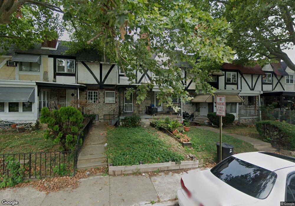
7233 Glenthorne Rd Upper Darby, PA 19082
Estimated Value: $138,451 - $177,000
3
Beds
1
Bath
1,088
Sq Ft
$149/Sq Ft
Est. Value
About This Home
This home is located at 7233 Glenthorne Rd, Upper Darby, PA 19082 and is currently estimated at $162,113, approximately $149 per square foot. 7233 Glenthorne Rd is a home located in Delaware County with nearby schools including Upper Darby Kdg Center, Upper Darby High School, and Vision Academy Charter School.
Ownership History
Date
Name
Owned For
Owner Type
Purchase Details
Closed on
Aug 7, 2009
Sold by
Smith Desirea and Smith Robert H
Bought by
Smith Desirea
Current Estimated Value
Home Financials for this Owner
Home Financials are based on the most recent Mortgage that was taken out on this home.
Original Mortgage
$53,418
Interest Rate
4.56%
Mortgage Type
FHA
Purchase Details
Closed on
Jul 28, 1994
Sold by
Ounan Mary C
Bought by
Smith Robert H and Smith Desirea
Home Financials for this Owner
Home Financials are based on the most recent Mortgage that was taken out on this home.
Original Mortgage
$45,350
Interest Rate
8.61%
Mortgage Type
FHA
Create a Home Valuation Report for This Property
The Home Valuation Report is an in-depth analysis detailing your home's value as well as a comparison with similar homes in the area
Home Values in the Area
Average Home Value in this Area
Purchase History
| Date | Buyer | Sale Price | Title Company |
|---|---|---|---|
| Smith Desirea | -- | None Available | |
| Smith Robert H | $45,000 | Fidelity National Title Ins |
Source: Public Records
Mortgage History
| Date | Status | Borrower | Loan Amount |
|---|---|---|---|
| Closed | Smith Desirea | $53,418 | |
| Closed | Smith Robert H | $45,350 |
Source: Public Records
Tax History
| Year | Tax Paid | Tax Assessment Tax Assessment Total Assessment is a certain percentage of the fair market value that is determined by local assessors to be the total taxable value of land and additions on the property. | Land | Improvement |
|---|---|---|---|---|
| 2025 | $2,818 | $66,630 | $13,520 | $53,110 |
| 2024 | $2,818 | $66,630 | $13,520 | $53,110 |
| 2023 | $2,791 | $66,630 | $13,520 | $53,110 |
| 2022 | $2,716 | $66,630 | $13,520 | $53,110 |
| 2021 | $3,663 | $66,630 | $13,520 | $53,110 |
| 2020 | $2,738 | $42,320 | $12,290 | $30,030 |
| 2019 | $2,689 | $42,320 | $12,290 | $30,030 |
| 2018 | $2,658 | $42,320 | $0 | $0 |
| 2017 | $2,589 | $42,320 | $0 | $0 |
| 2016 | $232 | $42,320 | $0 | $0 |
| 2015 | $237 | $42,320 | $0 | $0 |
| 2014 | $232 | $42,320 | $0 | $0 |
Source: Public Records
Map
Nearby Homes
- 402 Long Ln
- 7218 Radbourne Rd
- 40 Lamport Rd
- 614 Littlecroft Rd
- 346 Long Ln
- 243 Coverly Rd
- 7023 Guilford Rd
- 417 Copley Rd
- 91 Lamport Rd
- 7042 Clinton Rd
- 519 Littlecroft Rd
- 432 Grace Rd
- 7160 Clover Ln
- 0 Hirst Ave
- 418 Hampden Rd
- 6997 Guilford Rd
- 6993 Guilford Rd
- 418 Littlecroft Rd Unit 6A
- 291 N Wycombe Ave
- 7261 Calvin Rd
- 7231 Glenthorne Rd
- 7229 Glenthorne Rd
- 7227 Glenthorne Rd
- 7235 Glenthorne Rd
- 7225 Glenthorne Rd
- 7237 Glenthorne Rd
- 7223 Glenthorne Rd
- 7239 Glenthorne Rd
- 7221 Glenthorne Rd
- 7241 Glenthorne Rd
- 7236 Lamport Rd
- 7238 Lamport Rd
- 7234 Lamport Rd
- 7232 Lamport Rd
- 7219 Glenthorne Rd
- 7240 Lamport Rd
- 7230 Lamport Rd
- 7242 Lamport Rd
- 7228 Lamport Rd
- 7217 Glenthorne Rd
Your Personal Tour Guide
Ask me questions while you tour the home.