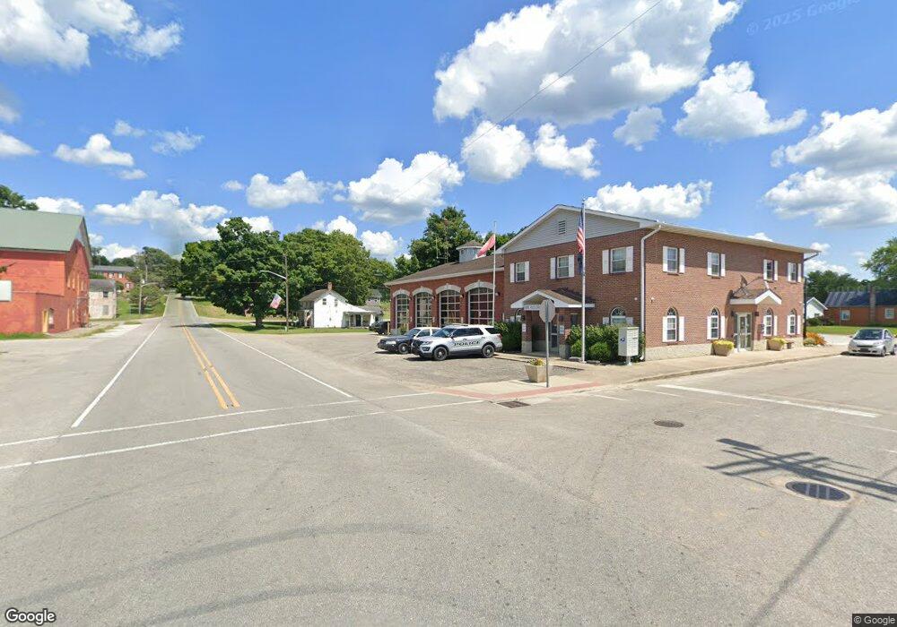
7233 W 800 Rd S Laurel, IN 47024
Estimated Value: $31,520 - $128,000
3
Beds
2
Baths
924
Sq Ft
$86/Sq Ft
Est. Value
About This Home
This home is located at 7233 W 800 Rd S, Laurel, IN 47024 and is currently estimated at $79,760, approximately $86 per square foot. 7233 W 800 Rd S is a home located in Fayette County with nearby schools including Everton Elementary School, Connersville Middle School, and Connersville High School.
Ownership History
Date
Name
Owned For
Owner Type
Purchase Details
Closed on
Feb 18, 2020
Bought by
Dale Moore Anthony
Current Estimated Value
Home Financials for this Owner
Home Financials are based on the most recent Mortgage that was taken out on this home.
Interest Rate
3.47%
Purchase Details
Closed on
Oct 1, 2019
Bought by
Moore Anthony Dale and Kaleihoku Tanya
Purchase Details
Closed on
Feb 24, 2014
Sold by
James L James L and Abercrombie Jenny
Bought by
Manson Marcus and Manson Kaci Nicole
Create a Home Valuation Report for This Property
The Home Valuation Report is an in-depth analysis detailing your home's value as well as a comparison with similar homes in the area
Home Values in the Area
Average Home Value in this Area
Purchase History
| Date | Buyer | Sale Price | Title Company |
|---|---|---|---|
| Dale Moore Anthony | $20,000 | -- | |
| Moore Anthony Dale | $3,500 | -- | |
| Manson Marcus | -- | -- |
Source: Public Records
Mortgage History
| Date | Status | Borrower | Loan Amount |
|---|---|---|---|
| Closed | Dale Moore Anthony | -- | |
| Closed | Manson Marcus | $0 |
Source: Public Records
Tax History Compared to Growth
Tax History
| Year | Tax Paid | Tax Assessment Tax Assessment Total Assessment is a certain percentage of the fair market value that is determined by local assessors to be the total taxable value of land and additions on the property. | Land | Improvement |
|---|---|---|---|---|
| 2024 | $247 | $14,300 | $12,900 | $1,400 |
| 2023 | $267 | $13,800 | $12,400 | $1,400 |
| 2022 | $274 | $13,600 | $11,800 | $1,800 |
| 2021 | $255 | $12,200 | $10,600 | $1,600 |
| 2020 | $229 | $10,600 | $10,600 | $0 |
| 2019 | $552 | $28,000 | $27,100 | $900 |
| 2018 | $563 | $28,000 | $27,100 | $900 |
| 2017 | $460 | $23,500 | $19,700 | $3,800 |
| 2016 | $464 | $23,500 | $19,700 | $3,800 |
| 2014 | $458 | $24,600 | $19,700 | $4,900 |
| 2013 | $458 | $24,900 | $19,700 | $5,200 |
Source: Public Records
Map
Nearby Homes
- 0 Keal Rd Unit Laurel
- 14187 Quarry Rd
- 7116 S County Road 850 W
- 25146 Sanes Creek Rd
- 25228 Vanetta Rd
- 25228 Vanatta Hollow Rd
- 4544 W Allentown Rd
- 24115 Sanes Creek Rd
- 5864 S Garrison Rd
- 25012 Old Us Highway 52
- 5397 W Coletrane Hill Rd
- 5265 W Coletrane Hill Rd
- 8232 W Cr 400 Rd S
- 1 S Co Road 390 W
- 0 Red Oak Ln
- 0 Red Oak Ln Unit LotWP001 23615956
- 7855 E 1000 S
- 23041 U S 52
- 244 Baltimore St
- 0 S Co Road 375 W
- 7233 W Cr 800 S
- 7233 W County Road 800 S
- 7910 S Keal Rd
- 7735 S County Road 710 W
- 15130 Keal Rd
- 7568 S County Road 710 W
- 7507 S County Road 710 W
- 15121 Keal Rd
- 15050 Keal Rd
- 6837 W Johnson School Rd
- 7875 W Johnson School Rd
- 7383 S County Road 710 W
- 7040 W Johnson School Rd
- 0 Johnson School Rd
- 15048 Keal Rd
- 15165 Riebolt Rd
- 15038 Keal Rd
- 6634 W Johnson School Rd
- 26157 Sanes Creek Rd
