7234 Secluded Ln Ferndale, WA 98248
Estimated Value: $598,000 - $1,017,753
2
Beds
2
Baths
1,698
Sq Ft
$475/Sq Ft
Est. Value
About This Home
This home is located at 7234 Secluded Ln, Ferndale, WA 98248 and is currently estimated at $806,438, approximately $474 per square foot. 7234 Secluded Ln is a home with nearby schools including Custer Elementary School, Horizon Middle School, and Ferndale High School.
Ownership History
Date
Name
Owned For
Owner Type
Purchase Details
Closed on
Nov 22, 2021
Sold by
Verbree Richard C
Bought by
Verbree Richard and Verbree Christine
Current Estimated Value
Home Financials for this Owner
Home Financials are based on the most recent Mortgage that was taken out on this home.
Original Mortgage
$270,300
Interest Rate
3.05%
Mortgage Type
New Conventional
Create a Home Valuation Report for This Property
The Home Valuation Report is an in-depth analysis detailing your home's value as well as a comparison with similar homes in the area
Home Values in the Area
Average Home Value in this Area
Purchase History
| Date | Buyer | Sale Price | Title Company |
|---|---|---|---|
| Verbree Richard | -- | Whatcom Land Title |
Source: Public Records
Mortgage History
| Date | Status | Borrower | Loan Amount |
|---|---|---|---|
| Closed | Verbree Richard | $270,300 |
Source: Public Records
Tax History Compared to Growth
Tax History
| Year | Tax Paid | Tax Assessment Tax Assessment Total Assessment is a certain percentage of the fair market value that is determined by local assessors to be the total taxable value of land and additions on the property. | Land | Improvement |
|---|---|---|---|---|
| 2024 | $6,689 | $908,697 | $343,574 | $565,123 |
| 2023 | $6,689 | $928,388 | $385,000 | $543,388 |
| 2022 | $6,578 | $895,368 | $244,601 | $650,767 |
| 2021 | $6,076 | $710,601 | $194,125 | $516,476 |
| 2020 | $6,203 | $602,204 | $164,513 | $437,691 |
| 2019 | $4,934 | $557,591 | $152,324 | $405,267 |
| 2018 | $5,808 | $507,899 | $138,750 | $369,149 |
| 2017 | $4,569 | $457,567 | $125,000 | $332,567 |
| 2016 | $4,569 | $384,424 | $120,865 | $263,559 |
| 2015 | $4,321 | $384,424 | $120,865 | $263,559 |
| 2014 | -- | $353,543 | $111,550 | $241,993 |
| 2013 | -- | $354,797 | $111,550 | $243,247 |
Source: Public Records
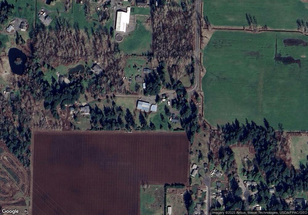
Map
Nearby Homes
- 7181 Enterprise Rd
- 0 2151xx Harksell Rd
- 7442 Woodland Rd
- 2070 Grandview Rd
- 2020 Grandview Rd
- 2036 Grandview Rd
- 1939 Grandview Rd
- 6850 Portal Way
- 2265 Grandview Rd
- 7020 Dahlberg Rd
- 7136 Portal Way Unit 18
- 1711 Garden Farms Rd
- 0 xxx Brown Rd
- 6600 Portal Way
- 1862 Destiny St
- 1942 Trigg Rd Unit 26
- 1942 Trigg Rd Unit 38
- 0 Aldergrove Rd Unit NWM2355925
- 7077 Vista Dr
- 6470 Trigg Woods Ln
- 7227 Secluded Ln
- 7163 Ashley Ct
- 7168 Ashley Ct
- 7231 Secluded Ln
- 7157 Ashley Ct
- 7160 Ashley Ct
- 2049 Harksell Rd
- 7152 Ashley Ct
- 7149 Ashley Ct
- 2014 Conifer Dr
- 7161 Firwood Dr
- 2013 Harksell Rd
- 2006 Conifer Dr
- 7141 Ashley Ct
- 7153 Firwood Dr
- 7164 Firwood Dr
- 7144 Ashley Ct
- 1994 Conifer Dr
- 2125 Harksell Rd
- 2075 Harksell Rd