7235 Apple Tree Ln Ferndale, WA 98248
Estimated Value: $1,087,433
3
Beds
3
Baths
2,427
Sq Ft
$448/Sq Ft
Est. Value
About This Home
This home is located at 7235 Apple Tree Ln, Ferndale, WA 98248 and is currently estimated at $1,087,433, approximately $448 per square foot. 7235 Apple Tree Ln is a home located in Whatcom County with nearby schools including Custer Elementary School, Horizon Middle School, and Ferndale High School.
Ownership History
Date
Name
Owned For
Owner Type
Purchase Details
Closed on
Aug 16, 2019
Sold by
Hetlet Marshall and Hetlet Rebecca
Bought by
Hetlet Marshall L and Hetlet Rebecca L
Current Estimated Value
Purchase Details
Closed on
May 9, 2001
Sold by
Hayden Robert A and Hayden Michelle R
Bought by
Hetlet Marshall and Hetlet Rebecca
Home Financials for this Owner
Home Financials are based on the most recent Mortgage that was taken out on this home.
Original Mortgage
$180,000
Outstanding Balance
$66,515
Interest Rate
6.89%
Estimated Equity
$1,020,918
Create a Home Valuation Report for This Property
The Home Valuation Report is an in-depth analysis detailing your home's value as well as a comparison with similar homes in the area
Home Values in the Area
Average Home Value in this Area
Purchase History
| Date | Buyer | Sale Price | Title Company |
|---|---|---|---|
| Hetlet Marshall L | -- | None Available | |
| Hetlet Marshall | $244,112 | First American Title Insuran |
Source: Public Records
Mortgage History
| Date | Status | Borrower | Loan Amount |
|---|---|---|---|
| Open | Hetlet Marshall | $180,000 |
Source: Public Records
Tax History Compared to Growth
Tax History
| Year | Tax Paid | Tax Assessment Tax Assessment Total Assessment is a certain percentage of the fair market value that is determined by local assessors to be the total taxable value of land and additions on the property. | Land | Improvement |
|---|---|---|---|---|
| 2024 | $7,172 | $1,092,614 | $370,345 | $722,269 |
| 2023 | $7,172 | $1,109,487 | $414,998 | $694,489 |
| 2022 | $5,903 | $1,142,280 | $410,928 | $731,352 |
| 2021 | $5,467 | $906,562 | $326,130 | $580,432 |
| 2020 | $5,600 | $537,955 | $46,064 | $491,891 |
| 2019 | $4,458 | $711,357 | $255,906 | $455,451 |
| 2018 | $5,263 | $453,711 | $38,850 | $414,861 |
| 2017 | $4,074 | $408,749 | $35,000 | $373,749 |
| 2016 | $4,077 | $336,914 | $31,530 | $305,384 |
| 2015 | $3,942 | $336,914 | $31,530 | $305,384 |
| 2014 | -- | $323,739 | $36,515 | $287,224 |
| 2013 | -- | $316,482 | $35,360 | $281,122 |
Source: Public Records
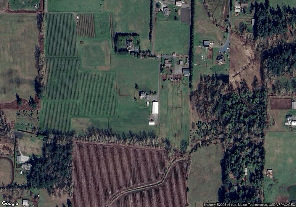
Map
Nearby Homes
- 7181 Enterprise Rd
- 0 2151xx Harksell Rd
- 7007 Dahlberg Rd
- 7020 Dahlberg Rd
- 7442 Woodland Rd
- 1939 Grandview Rd
- 2020 Grandview Rd
- 2070 Grandview Rd
- 2036 Grandview Rd
- 1711 Garden Farms Rd
- 6850 Portal Way
- 2265 Grandview Rd
- 6600 Portal Way
- 1862 Destiny St
- 1942 Trigg Rd Unit 26
- 1942 Trigg Rd Unit 38
- 0 Aldergrove Rd Unit NWM2355925
- 6470 Trigg Woods Ln
- 7136 Portal Way Unit 18
- 0 xxx Brown Rd
- 7232 Apple Tree Ln
- 7241 Apple Tree Ln
- 1675 Harksell Rd
- 7250 Apple Tree Ln
- 7192 Enterprise Rd
- 7116 Tatlow Ln
- 1747 Harksell Rd
- 1709 Harksell Rd
- 1693 Harksell Rd
- 7183 Dahlberg Rd
- 0 28xx Grand View Dr
- 0 L3 Grandview Rd
- 1791 Harksell Rd
- 1821 Harksell Rd
- 1647 Harksell Rd
- 0 169x Harksell Rd Unit 1320916
- 7118 Enterprise Rd
- 1780 Harksell Rd
- 7339 N Enterprise Rd
- 7241 Dahlberg Rd