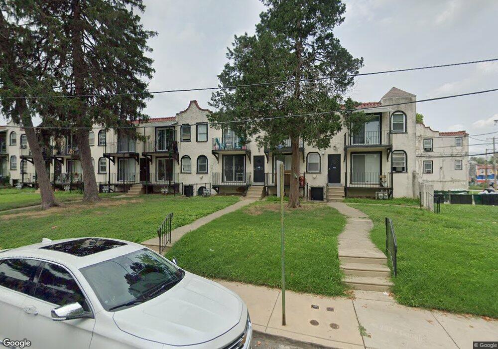
7235 Radbourne Rd Upper Darby, PA 19082
Estimated Value: $55,000 - $113,000
1
Bed
2
Baths
432
Sq Ft
$188/Sq Ft
Est. Value
About This Home
This home is located at 7235 Radbourne Rd, Upper Darby, PA 19082 and is currently estimated at $81,333, approximately $188 per square foot. 7235 Radbourne Rd is a home located in Delaware County with nearby schools including Upper Darby High School, Vision Academy Charter School, and Lansdowne Friends School.
Ownership History
Date
Name
Owned For
Owner Type
Purchase Details
Closed on
Aug 24, 2007
Sold by
Saddick Mohamed
Bought by
Brown Karl A
Current Estimated Value
Home Financials for this Owner
Home Financials are based on the most recent Mortgage that was taken out on this home.
Original Mortgage
$109,250
Interest Rate
6.51%
Mortgage Type
Purchase Money Mortgage
Purchase Details
Closed on
Jul 30, 2007
Sold by
Doumit Afif
Bought by
Saddick Mohamed
Home Financials for this Owner
Home Financials are based on the most recent Mortgage that was taken out on this home.
Original Mortgage
$109,250
Interest Rate
6.51%
Mortgage Type
Purchase Money Mortgage
Create a Home Valuation Report for This Property
The Home Valuation Report is an in-depth analysis detailing your home's value as well as a comparison with similar homes in the area
Home Values in the Area
Average Home Value in this Area
Purchase History
| Date | Buyer | Sale Price | Title Company |
|---|---|---|---|
| Brown Karl A | $115,000 | None Available | |
| Saddick Mohamed | $41,500 | None Available |
Source: Public Records
Mortgage History
| Date | Status | Borrower | Loan Amount |
|---|---|---|---|
| Previous Owner | Brown Karl A | $109,250 |
Source: Public Records
Tax History Compared to Growth
Tax History
| Year | Tax Paid | Tax Assessment Tax Assessment Total Assessment is a certain percentage of the fair market value that is determined by local assessors to be the total taxable value of land and additions on the property. | Land | Improvement |
|---|---|---|---|---|
| 2025 | $936 | $22,130 | $7,460 | $14,670 |
| 2024 | $936 | $22,130 | $7,460 | $14,670 |
| 2023 | $927 | $22,130 | $7,460 | $14,670 |
| 2022 | $902 | $22,130 | $7,460 | $14,670 |
| 2021 | $1,216 | $22,130 | $7,460 | $14,670 |
| 2020 | $1,003 | $15,500 | $3,875 | $11,625 |
| 2019 | $985 | $15,500 | $3,875 | $11,625 |
| 2018 | $974 | $15,500 | $0 | $0 |
| 2017 | $948 | $15,500 | $0 | $0 |
| 2016 | $85 | $15,500 | $0 | $0 |
| 2015 | $85 | $15,500 | $0 | $0 |
| 2014 | $85 | $15,500 | $0 | $0 |
Source: Public Records
Map
Nearby Homes
- 404 Croyden Rd
- 7247 Guilford Rd
- 7229 Clinton Rd
- 7216 Clinton Rd
- 669 Long Ln
- 7181 Ruskin Ln
- 7154 Ruskin Ln
- 346 Long Ln
- 535 Glendale Rd
- 607 Littlecroft Rd
- 243 Coverly Rd
- 506 Hampden Rd
- 7155 Radbourne Rd
- 433 Copley Rd
- 7162 Radbourne Rd
- 726 Copley Rd
- 432 Grace Rd
- 7042 Clinton Rd
- 143 Springton Rd
- 418 Hampden Rd
- 7235 Radbourne Rd Unit A
- 7235 Radbourne Rd
- 7235 Radbourne Rd
- 7235 Radbourne Rd
- 7233 Radbourne Rd
- 7233 Radbourne Rd
- 7239 Radbourne Rd
- 7239 Radbourne Rd
- 7239 Radbourne Rd
- 7239 Radbourne Rd
- 7237 Radbourne Rd
- 7237 Radbourne Rd
- 7237 Radbourne Rd
- 7237 Radbourne Rd
- 7237 Radbourne Rd Unit C
- 7241 Radbourne Rd
- 7241 Radbourne Rd
- 7241 Radbourne Rd
- 7241 Radbourne Rd
- 7243 Radbourne Rd