7236 E State Highway 76 Anderson, MO 64831
Estimated Value: $484,650 - $500,000
6
Beds
3
Baths
3,000
Sq Ft
$164/Sq Ft
Est. Value
About This Home
This home is located at 7236 E State Highway 76, Anderson, MO 64831 and is currently estimated at $492,325, approximately $164 per square foot. 7236 E State Highway 76 is a home located in McDonald County with nearby schools including McDonald County High School.
Ownership History
Date
Name
Owned For
Owner Type
Purchase Details
Closed on
Jan 10, 2023
Sold by
Guinn Vickie L and Guinn Klint W
Bought by
Nichols Wesley and Nichols Vickie
Current Estimated Value
Purchase Details
Closed on
Mar 3, 2017
Sold by
Gudgell Della M
Bought by
Nichols Wesley D and Nichols Vickie M
Home Financials for this Owner
Home Financials are based on the most recent Mortgage that was taken out on this home.
Original Mortgage
$190,000
Interest Rate
4.09%
Mortgage Type
New Conventional
Purchase Details
Closed on
Sep 14, 2009
Sold by
Deutsche Bank National Trust Company
Bought by
Gudgell Della M
Create a Home Valuation Report for This Property
The Home Valuation Report is an in-depth analysis detailing your home's value as well as a comparison with similar homes in the area
Purchase History
| Date | Buyer | Sale Price | Title Company |
|---|---|---|---|
| Nichols Wesley | -- | -- | |
| Nichols Wesley D | -- | Waco Title Company | |
| Gudgell Della M | -- | Mokan Title Services Llc |
Source: Public Records
Mortgage History
| Date | Status | Borrower | Loan Amount |
|---|---|---|---|
| Previous Owner | Nichols Wesley D | $190,000 |
Source: Public Records
Tax History
| Year | Tax Paid | Tax Assessment Tax Assessment Total Assessment is a certain percentage of the fair market value that is determined by local assessors to be the total taxable value of land and additions on the property. | Land | Improvement |
|---|---|---|---|---|
| 2025 | $1,352 | $34,370 | $0 | $0 |
| 2024 | $1,303 | $31,720 | $0 | $0 |
| 2023 | $1,303 | $30,550 | $0 | $0 |
| 2022 | $1,211 | $30,550 | $0 | $0 |
| 2021 | $1,210 | $30,550 | $0 | $0 |
| 2020 | $1,070 | $26,900 | $0 | $0 |
| 2019 | $1,069 | $26,900 | $0 | $0 |
| 2018 | $1,072 | $26,940 | $0 | $0 |
| 2017 | $1,072 | $26,940 | $0 | $0 |
| 2016 | $1,122 | $28,180 | $0 | $0 |
| 2015 | -- | $28,180 | $0 | $0 |
| 2014 | -- | $28,120 | $0 | $0 |
Source: Public Records
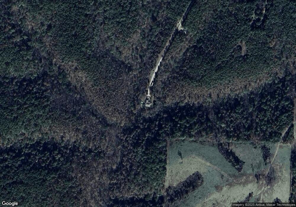
Map
Nearby Homes
- 116 Hambrich Hollow Rd
- 144 Serenity Ln
- 65 Acres Plainview Rd
- 383 Atkins Rd
- 10 +/- Acres Atkins Rd
- 26 +/- Acr Atkins Rd
- 3535 Peach Orchard Rd
- 3150 Route Hwy W
- 2332 Packet Hollow Rd
- 1633 Jessie James Rd
- 1471 Walnut Rd
- 2599 E State Highway 76
- 110 & 128 Mackenzie Ln
- 179 Speedway Rd
- 5641 State Highway K
- 000 Buckeye Ln
- 5641 Route K
- 6045 Route K
- 756 Cyclone Rd
- 9 +/- Anthony Ln
- 7232 E State Highway 76
- 7232 E State Highway 76
- 7232 E State Highway 76
- 7232 E State Highway 76
- 7484 E State Highway 76
- 7217 E State Highway 76
- 7229 E State Highway 76
- 7487 E State Highway 76
- 0 Hwy 76 Bunker Hill Hwy Unit 695325
- 390 Thomas Ln
- 11689 NE 76-14
- 9968 State Highway 76
- 538 Thomas St
- 538 Thomas St
- 0 Thomas Ln Unit 699746
- 7581 E State Highway 76
- 32 Thomas Ln
- 6599 Missouri 76
- - Bunker Hill Rd
- Tbd Bunker Hill Rd
Your Personal Tour Guide
Ask me questions while you tour the home.