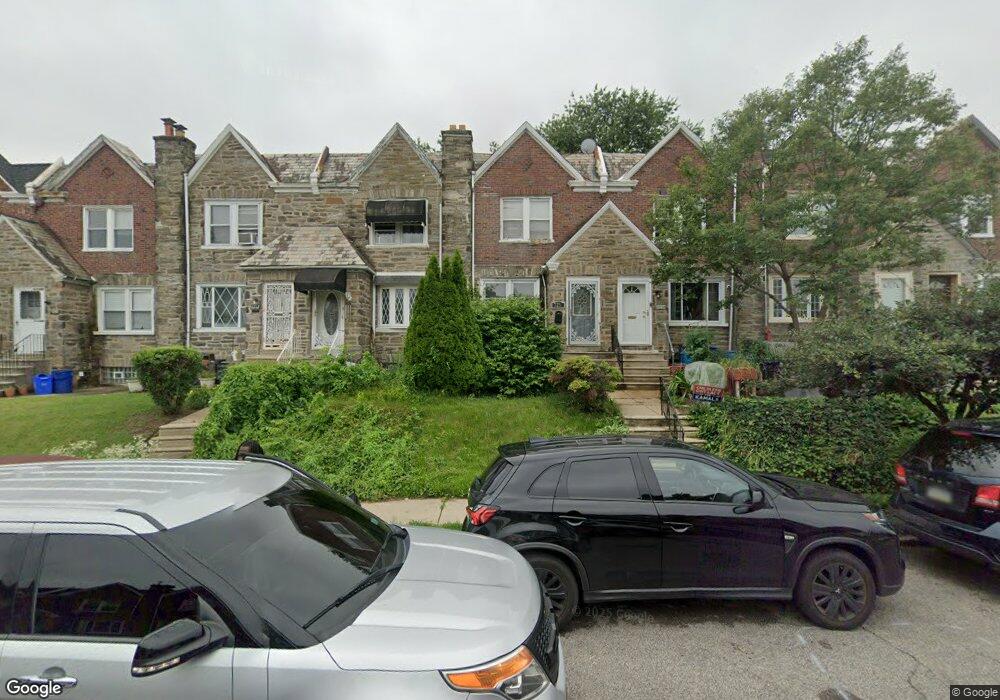
7236 Forrest Ave Philadelphia, PA 19138
West Oak Lane NeighborhoodEstimated Value: $160,000 - $260,000
3
Beds
1
Bath
1,412
Sq Ft
$150/Sq Ft
Est. Value
About This Home
This home is located at 7236 Forrest Ave, Philadelphia, PA 19138 and is currently estimated at $211,495, approximately $149 per square foot. 7236 Forrest Ave is a home located in Philadelphia County with nearby schools including Pennypacker Samuel School, Martin Luther King High School, and West Oak Lane Charter School.
Ownership History
Date
Name
Owned For
Owner Type
Purchase Details
Closed on
May 25, 2005
Sold by
Faulks Juan
Bought by
Williams Tammi
Current Estimated Value
Home Financials for this Owner
Home Financials are based on the most recent Mortgage that was taken out on this home.
Original Mortgage
$99,750
Outstanding Balance
$59,275
Interest Rate
8.2%
Mortgage Type
Fannie Mae Freddie Mac
Estimated Equity
$152,220
Purchase Details
Closed on
Nov 1, 2002
Sold by
Jackson Ronald
Bought by
Faulks Juan
Create a Home Valuation Report for This Property
The Home Valuation Report is an in-depth analysis detailing your home's value as well as a comparison with similar homes in the area
Home Values in the Area
Average Home Value in this Area
Purchase History
| Date | Buyer | Sale Price | Title Company |
|---|---|---|---|
| Williams Tammi | $105,000 | -- | |
| Faulks Juan | -- | -- |
Source: Public Records
Mortgage History
| Date | Status | Borrower | Loan Amount |
|---|---|---|---|
| Open | Williams Tammi | $99,750 |
Source: Public Records
Tax History Compared to Growth
Tax History
| Year | Tax Paid | Tax Assessment Tax Assessment Total Assessment is a certain percentage of the fair market value that is determined by local assessors to be the total taxable value of land and additions on the property. | Land | Improvement |
|---|---|---|---|---|
| 2026 | $2,339 | $210,300 | $42,060 | $168,240 |
| 2025 | $2,339 | $210,300 | $42,060 | $168,240 |
| 2024 | $2,339 | $210,300 | $42,060 | $168,240 |
| 2023 | $2,339 | $167,100 | $33,420 | $133,680 |
| 2022 | $1,715 | $167,100 | $33,420 | $133,680 |
| 2021 | $1,715 | $0 | $0 | $0 |
| 2020 | $1,715 | $0 | $0 | $0 |
| 2019 | $1,790 | $0 | $0 | $0 |
| 2018 | $1,765 | $0 | $0 | $0 |
| 2017 | $1,765 | $0 | $0 | $0 |
| 2016 | $1,765 | $0 | $0 | $0 |
| 2015 | $1,690 | $0 | $0 | $0 |
| 2014 | -- | $126,100 | $11,914 | $114,186 |
| 2012 | -- | $16,000 | $2,435 | $13,565 |
Source: Public Records
Map
Nearby Homes
- 7206 Forrest Ave
- 7245 Ogontz Ave
- 1839 E Pastorius St
- 7092 Forrest Ave
- 1821 E Tulpehocken St
- 1822 Nolan St
- 7321 Sommers Rd
- 7349 E Walnut Ln
- 1762 Mohican St
- 7159 N 20th St
- 7188 N Uber St
- 1759 E Mayland St
- 7001 Limekiln Pike
- 1996 73rd Ave
- 7016 Andrews Ave
- 1979 73rd Ave
- 6944 Cedar Park Ave
- 1975 73rd Ave
- 1623 Middleton St
- 1980 Penfield St
- 7238 Forrest Ave Unit 2ND FL
- 7238 Forrest Ave
- 7240 Forrest Ave
- 7242 Forrest Ave
- 7234 Forrest Ave
- 7244 Forrest Ave
- 7232 Forrest Ave
- 7230 Forrest Ave
- 7228 Forrest Ave
- 7226 Forrest Ave
- 7248 Forrest Ave
- 7224 Forrest Ave
- 7222 Forrest Ave
- 7253 Limekiln Pike
- 7255 Limekiln Pike
- 7247 Limekiln Pike
- 7220 Forrest Ave
- 7245 Limekiln Pike
- 7257 Limekiln Pike
- 7251 Limekiln Pike