7237 Webber Rd Central Point, OR 97502
Estimated Value: $567,000 - $631,000
4
Beds
3
Baths
2,002
Sq Ft
$299/Sq Ft
Est. Value
About This Home
This home is located at 7237 Webber Rd, Central Point, OR 97502 and is currently estimated at $597,757, approximately $298 per square foot. 7237 Webber Rd is a home located in Jackson County with nearby schools including Sams Valley Elementary School, Hanby Middle School, and Crater High School.
Ownership History
Date
Name
Owned For
Owner Type
Purchase Details
Closed on
May 6, 2015
Sold by
Knutson Olaf A and Knutson Zachary A
Bought by
Ram Sea Rogue Llc
Current Estimated Value
Purchase Details
Closed on
Jun 11, 1998
Sold by
Grether Todd W and Grether Jennifer L
Bought by
Grether Todd W and Grether Jennifer L
Home Financials for this Owner
Home Financials are based on the most recent Mortgage that was taken out on this home.
Original Mortgage
$101,500
Interest Rate
7.11%
Create a Home Valuation Report for This Property
The Home Valuation Report is an in-depth analysis detailing your home's value as well as a comparison with similar homes in the area
Purchase History
| Date | Buyer | Sale Price | Title Company |
|---|---|---|---|
| Ram Sea Rogue Llc | -- | None Available | |
| Grether Todd W | -- | Crater Title Insurance |
Source: Public Records
Mortgage History
| Date | Status | Borrower | Loan Amount |
|---|---|---|---|
| Previous Owner | Grether Todd W | $101,500 |
Source: Public Records
Tax History
| Year | Tax Paid | Tax Assessment Tax Assessment Total Assessment is a certain percentage of the fair market value that is determined by local assessors to be the total taxable value of land and additions on the property. | Land | Improvement |
|---|---|---|---|---|
| 2026 | $2,292 | $169,686 | -- | -- |
| 2025 | $2,232 | $180,538 | $18,528 | $162,010 |
| 2024 | $2,232 | $175,403 | $18,103 | $157,300 |
| 2023 | $2,161 | $170,420 | $17,690 | $152,730 |
| 2022 | $2,118 | $170,420 | $17,690 | $152,730 |
| 2021 | $2,061 | $165,579 | $17,289 | $148,290 |
| 2020 | $2,005 | $160,881 | $16,901 | $143,980 |
| 2019 | $1,962 | $151,882 | $16,162 | $135,720 |
| 2018 | $1,904 | $147,581 | $15,811 | $131,770 |
| 2017 | $1,863 | $147,581 | $15,811 | $131,770 |
| 2016 | $1,811 | $139,344 | $15,134 | $124,210 |
| 2015 | $1,749 | $139,344 | $15,134 | $124,210 |
| 2014 | $1,710 | $131,585 | $14,495 | $117,090 |
Source: Public Records
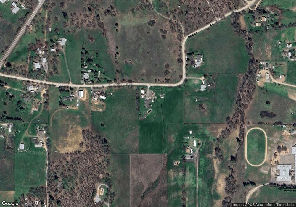
Map
Nearby Homes
- 395 Robleda Dr
- 11615 Michael Rd
- 11220 Duggan Rd
- 13290 Table Rock Rd
- 0 Duggan Rd Unit 220198974
- 10695 Kildee Ave
- 10695 Killdee Ave
- 13007 Perry Rd
- 180 Glass Ln
- 377 Pelton Ln
- 0 Antioch Rd Unit TL 407
- 0 Antioch Rd Unit TL 406
- 17150 Antioch Rd
- 10950 Ramsey Rd
- 0 Winnetka Rd
- 7426 Denman Ct
- 3399 Dodge Rd
- 12214 Modoc Rd
- 700 Rogue Wood Dr
- 12240 Modoc Rd Unit A
- 7167 Webber Rd
- 7395 Webber Rd
- 7398 Webber Rd
- 7200 Oregon 234
- 3080 Sams Valley Hwy
- 7400 Webber Rd
- 0 Hwy 234 Unit 100991293
- 0 Hwy 234 Unit 100262845
- 0 Hwy 234 Unit 100065720
- 0 Hwy 234 Unit 100077793
- 0 Hwy 234 Unit 102716849
- 0 Hwy 234 Unit 100072889
- 0 Hwy 234 Unit 100174133
- 0 Hwy 234 Unit 152917007
- 14393 Table Rock Rd
- 11850 Perry Rd
- 14405 Table Rock Rd
- 3000 Sams Valley Hwy
- 12622 Perry Rd
- 0 Webber Rd
Your Personal Tour Guide
Ask me questions while you tour the home.