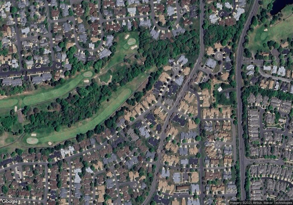
723A Delair Rd Monroe Township, NJ 08831
Estimated Value: $411,000 - $576,000
--
Bed
--
Bath
1,612
Sq Ft
$285/Sq Ft
Est. Value
About This Home
This home is located at 723A Delair Rd, Monroe Township, NJ 08831 and is currently estimated at $459,708, approximately $285 per square foot. 723A Delair Rd is a home located in Middlesex County with nearby schools including Oak Tree Elementary School, Monroe Township Middle School, and Monroe Township High School.
Ownership History
Date
Name
Owned For
Owner Type
Purchase Details
Closed on
May 28, 2025
Sold by
M & G Enterprise Group Llc
Bought by
Owens Stewart John and Owens Helen A
Current Estimated Value
Home Financials for this Owner
Home Financials are based on the most recent Mortgage that was taken out on this home.
Original Mortgage
$180,000
Interest Rate
6.81%
Mortgage Type
New Conventional
Purchase Details
Closed on
Sep 17, 2024
Sold by
Romano Ronald and Romano Nicholas
Bought by
M & G Enterprise Group Llc
Purchase Details
Closed on
Mar 16, 2001
Create a Home Valuation Report for This Property
The Home Valuation Report is an in-depth analysis detailing your home's value as well as a comparison with similar homes in the area
Home Values in the Area
Average Home Value in this Area
Purchase History
| Date | Buyer | Sale Price | Title Company |
|---|---|---|---|
| Owens Stewart John | $530,000 | Fidelity National Title | |
| Owens Stewart John | $530,000 | Fidelity National Title | |
| M & G Enterprise Group Llc | $345,000 | None Listed On Document | |
| M & G Enterprise Group Llc | $345,000 | None Listed On Document | |
| -- | -- | -- |
Source: Public Records
Mortgage History
| Date | Status | Borrower | Loan Amount |
|---|---|---|---|
| Previous Owner | Owens Stewart John | $180,000 |
Source: Public Records
Tax History Compared to Growth
Tax History
| Year | Tax Paid | Tax Assessment Tax Assessment Total Assessment is a certain percentage of the fair market value that is determined by local assessors to be the total taxable value of land and additions on the property. | Land | Improvement |
|---|---|---|---|---|
| 2025 | $3,182 | $141,000 | $36,000 | $105,000 |
| 2024 | $3,063 | $122,100 | $36,000 | $86,100 |
| 2023 | $3,063 | $122,100 | $36,000 | $86,100 |
| 2022 | $3,006 | $122,100 | $36,000 | $86,100 |
| 2021 | $1,789 | $122,100 | $36,000 | $86,100 |
| 2020 | $2,995 | $122,100 | $36,000 | $86,100 |
| 2019 | $3,172 | $122,100 | $36,000 | $86,100 |
| 2018 | $2,898 | $122,100 | $36,000 | $86,100 |
| 2017 | $2,849 | $122,100 | $36,000 | $86,100 |
| 2016 | $3,053 | $122,100 | $36,000 | $86,100 |
| 2015 | $2,729 | $122,100 | $36,000 | $86,100 |
| 2014 | $2,629 | $122,100 | $36,000 | $86,100 |
Source: Public Records
Map
Nearby Homes
- 732 Ralston Plaza Unit A
- 780B Ardmore Rd
- 742A Pompton Rd Unit 742A
- 742A Pompton Rd Unit A
- 13B Ashbourne Dr
- 218 N Pondview Blvd
- 278 Crosse Dr Unit 3G
- 235A Vernon Rd
- 235A Vernon Rd Unit A
- 13 Ashbourne Dr Unit B
- 13 Ashbourne Dr Unit 13B
- 301A Yardley Dr Unit A
- 301 Yardley Dr Unit A
- 297A Yardley Dr
- 297B Yardley Dr Unit 297A
- 211 Doremus Dr
- 278 -3G Crosse
- 264 Nighthawk Dr
- 264 Nighthawk Dr Unit A
- 267 Nighthawk Dr
- 723 Delair Rd Unit a
- 723B Delair Rd
- 722A Delair Rd
- 724A Ralston Plaza Unit 724A
- 721B Delair Rd
- 721B Delair Rd Unit B
- 734A Delair Rd
- 725 Ralston Plaza
- 725A Ralston Plaza
- 721A Delair Rd
- 733A Delair Rd Unit 733A
- 732 Ralston Plaza Unit 732A
- 735A Prospect Rd
- 734B Delair Rd
- 732 Ralston Pz
- 725B Ralston Plaza Unit 725B
- 735B Prospect Rd
- 720C Delair Rd
- A Ralston Plaza
- 733B Delair Rd
