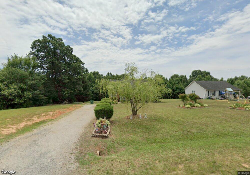
724 E Morehead St Reidsville, NC 27320
Estimated Value: $202,000 - $210,298
3
Beds
2
Baths
1,296
Sq Ft
$159/Sq Ft
Est. Value
About This Home
This home is located at 724 E Morehead St, Reidsville, NC 27320 and is currently estimated at $206,575, approximately $159 per square foot. 724 E Morehead St is a home located in Rockingham County with nearby schools including Reidsville High School, Moss Street Elementary, and Reidsville Middle School.
Ownership History
Date
Name
Owned For
Owner Type
Purchase Details
Closed on
May 15, 2006
Sold by
Elliott Julius F and Elliott Sandra M
Bought by
Void Larry D and Void Patricia A
Current Estimated Value
Home Financials for this Owner
Home Financials are based on the most recent Mortgage that was taken out on this home.
Original Mortgage
$79,920
Outstanding Balance
$50,681
Interest Rate
8.12%
Mortgage Type
Adjustable Rate Mortgage/ARM
Estimated Equity
$155,894
Create a Home Valuation Report for This Property
The Home Valuation Report is an in-depth analysis detailing your home's value as well as a comparison with similar homes in the area
Home Values in the Area
Average Home Value in this Area
Purchase History
| Date | Buyer | Sale Price | Title Company |
|---|---|---|---|
| Void Larry D | $100,000 | None Available |
Source: Public Records
Mortgage History
| Date | Status | Borrower | Loan Amount |
|---|---|---|---|
| Open | Void Larry D | $79,920 |
Source: Public Records
Tax History Compared to Growth
Tax History
| Year | Tax Paid | Tax Assessment Tax Assessment Total Assessment is a certain percentage of the fair market value that is determined by local assessors to be the total taxable value of land and additions on the property. | Land | Improvement |
|---|---|---|---|---|
| 2025 | $1,172 | $182,955 | $24,678 | $158,277 |
| 2024 | $1,172 | $182,955 | $24,678 | $158,277 |
| 2023 | $1,172 | $104,874 | $8,208 | $96,666 |
| 2022 | $823 | $104,874 | $8,208 | $96,666 |
| 2021 | $823 | $104,874 | $8,208 | $96,666 |
| 2020 | $823 | $104,874 | $8,208 | $96,666 |
| 2019 | $823 | $104,874 | $8,208 | $96,666 |
| 2018 | $795 | $101,147 | $17,208 | $83,939 |
| 2017 | $775 | $101,147 | $17,208 | $83,939 |
| 2015 | $783 | $101,147 | $17,208 | $83,939 |
| 2014 | -- | $101,147 | $17,208 | $83,939 |
Source: Public Records
Map
Nearby Homes
- 315 Hubbard St
- 00 Robinson Cir
- 403 Pennsylvania Ave
- 101 S Branch St
- 802 Lawsonville Ave
- 312 Church St
- 0 Us Highway 158 Unit 1133948
- 0 Us Highway 158 Unit 1133951
- 000 Hwy 158 Hwy
- 335 S Branch St
- 971 Willow St
- 137 Ridge St
- 511 Barnes St
- 515 Barnes St
- 115 N Harris St
- 117 Ridge St
- 304 Roanoke St
- 612 Thomas St
- 502 Thomas St
- 607 Lancaster Dr
- 722 E Morehead St
- 802 E Morehead St
- 720 E Morehead St
- 804 E Morehead St
- 716 E Morehead St
- 717 E Morehead St
- 715 E Morehead St
- 714 E Morehead St
- 713 E Morehead St
- 711 E Morehead St
- 703 E Morehead St
- 701 E Morehead St
- 611 E Morehead St
- 609 E Morehead St
- 612 E Morehead St
- 607 E Morehead St
- 610 E Morehead St
- 406 Hubbard St
- 605 E Morehead St
- 608 E Morehead St