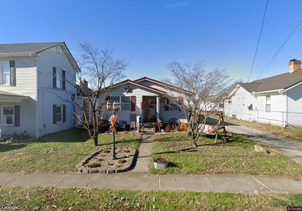
724 High St Coal Grove, OH 45638
Estimated Value: $142,000 - $160,295
3
Beds
2
Baths
1,400
Sq Ft
$108/Sq Ft
Est. Value
About This Home
This home is located at 724 High St, Coal Grove, OH 45638 and is currently estimated at $151,574, approximately $108 per square foot. 724 High St is a home located in Lawrence County with nearby schools including Dawson-Bryant Elementary School, Dawson-Bryant Middle School, and Dawson-Bryant High School.
Ownership History
Date
Name
Owned For
Owner Type
Purchase Details
Closed on
Jun 16, 1994
Sold by
Vanderhoof Judy Ann
Bought by
Blair Walton H and Blair Donn
Current Estimated Value
Purchase Details
Closed on
Sep 3, 1992
Sold by
Grubb Donna and Grubb Erma
Bought by
Vanderhoof Judy Ann
Purchase Details
Closed on
Jul 2, 1990
Sold by
Grubb Donna and Carey Erma
Bought by
Grubb Donna and Grubb Erma
Create a Home Valuation Report for This Property
The Home Valuation Report is an in-depth analysis detailing your home's value as well as a comparison with similar homes in the area
Home Values in the Area
Average Home Value in this Area
Purchase History
| Date | Buyer | Sale Price | Title Company |
|---|---|---|---|
| Blair Walton H | $52,000 | -- | |
| Vanderhoof Judy Ann | -- | -- | |
| Grubb Donna | $9,000 | -- |
Source: Public Records
Tax History Compared to Growth
Tax History
| Year | Tax Paid | Tax Assessment Tax Assessment Total Assessment is a certain percentage of the fair market value that is determined by local assessors to be the total taxable value of land and additions on the property. | Land | Improvement |
|---|---|---|---|---|
| 2024 | -- | $40,800 | $5,170 | $35,630 |
| 2023 | $1,199 | $40,800 | $5,170 | $35,630 |
| 2022 | $1,196 | $40,800 | $5,170 | $35,630 |
| 2021 | $1,031 | $34,710 | $4,230 | $30,480 |
| 2020 | $1,047 | $34,710 | $4,230 | $30,480 |
| 2019 | $1,043 | $34,710 | $4,230 | $30,480 |
| 2018 | $961 | $31,550 | $3,840 | $27,710 |
| 2017 | $959 | $31,550 | $3,840 | $27,710 |
| 2016 | $889 | $31,550 | $3,840 | $27,710 |
| 2015 | $933 | $30,710 | $3,840 | $26,870 |
| 2014 | $860 | $30,710 | $3,840 | $26,870 |
| 2013 | $859 | $30,710 | $3,840 | $26,870 |
Source: Public Records
Map
Nearby Homes
- 125 Center St
- 514 Lane St
- 519 Lane St
- 135 Lane St
- 204 Dutey Dr
- 805 1/2 High St
- 309 High St
- 309 High St Unit LAO-5
- 119 Remy St
- 103 Carrico Dr
- 3107 S 4th St
- 317 Ashtabula St
- 156 Township Road 181
- 342 Township Road 296
- 2721 S 8th St
- 2726 S 9th St
- 321 Wyanoke St
- 2626 S 11th St
- 2616 S 13th St
- 2088 State Route 243